The Tit
Canmore
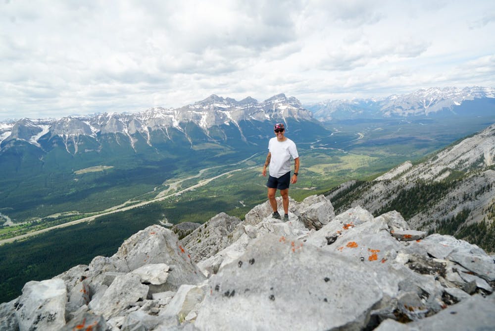
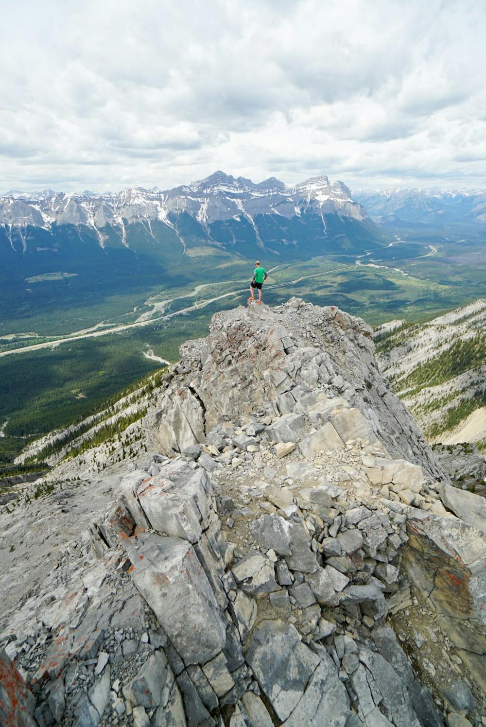
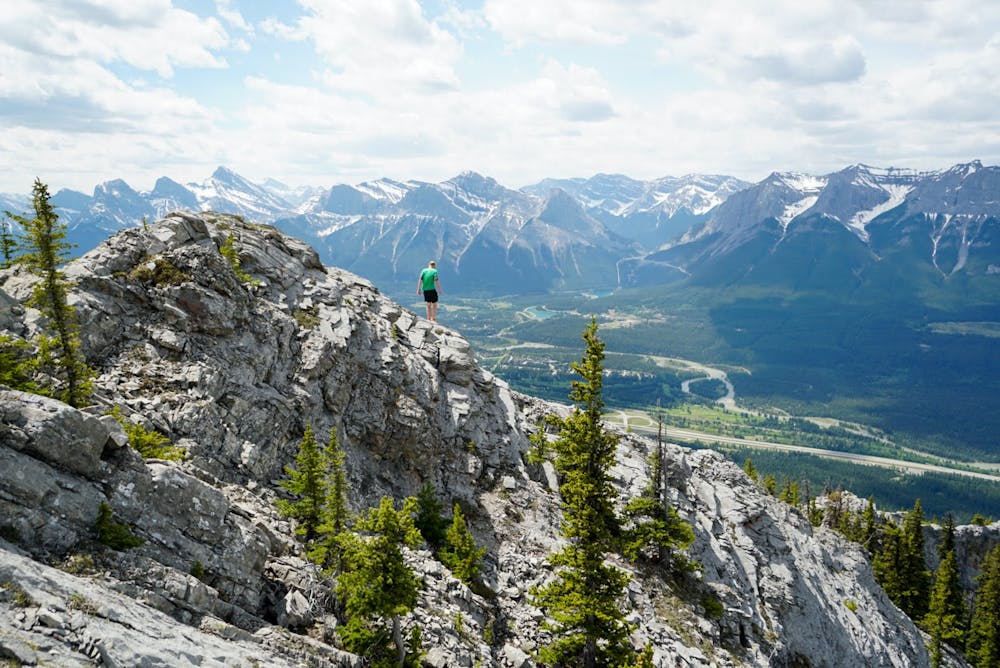
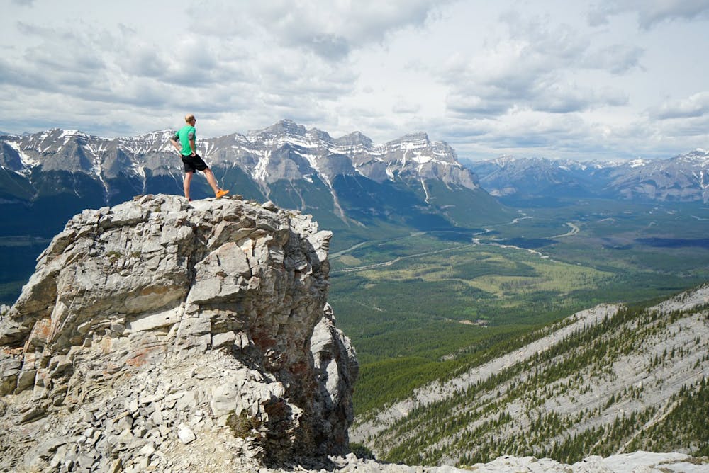
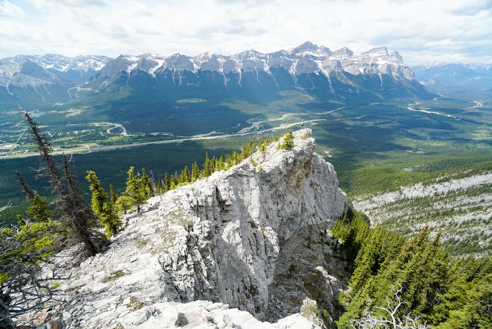
A nice way to get a lot of vert and a great view of Canmore. Challenge your route finding and scrambling.
Trail Running Difficult
- Distance
- 4.2 km
- Ascent
- 1.2 km
- Descent
- 14 m
- Duration
- 2-3 hrs
- Low Point
- 1.3 km
- High Point
- 2.5 km
- Gradient
- 30˚

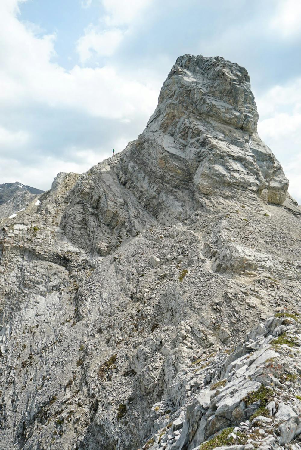
From the parking lot you can cut up the creek bed or run around on the Montane trail. Once you head onto the trail to climb you will be in the trees and will have to pick your best route up. Once you come out of the tree line you start to see some route options and you want to stick to the ridge. Dont get sucked into the gully. You will start to scramble over a few tricky sections. You will be at the base of the final climb. You will want to traverse left and around the back side. This is terrain you want good conditions with no snow, ice, rain as it is a slab and every bit of grip helps. You will pass and climb up some loose rocks to the top. You will have a 360 view of the surrounding mountains and Canmore.


- •
- •
- •
- •
- •
- •
- •
- •
- •
- •
- •
- •
Difficulty
Difficult
Extreme Exposure

Some trail sections are extremely exposed where falling will almost certainly result in serious injury or death.
Remoteness

Little chance of being seen or helped in case of an accident.