3.6 km away
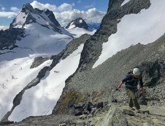
Mt Matier: North Ridge
Classic Mountaineer in the Joffree Group
Moderate Alpine Climbing
- Distance
- 17 km
- Ascent
- 1.6 km
- Descent
- 1.6 km
A lesser-known, big mountain hike with breathtaking views and a stunning alpine lake.
Alpine Climbing Moderate

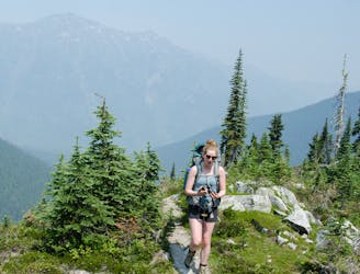
Summiting Mount Rohr is one of the lesser known hikes near Pemberton and a longer variation on the more popular Rohr Lake hike. You'll enjoy fantastic views and tons of solitude as you navigate boulder fields, alpine scree, and potentially snowy terrain.
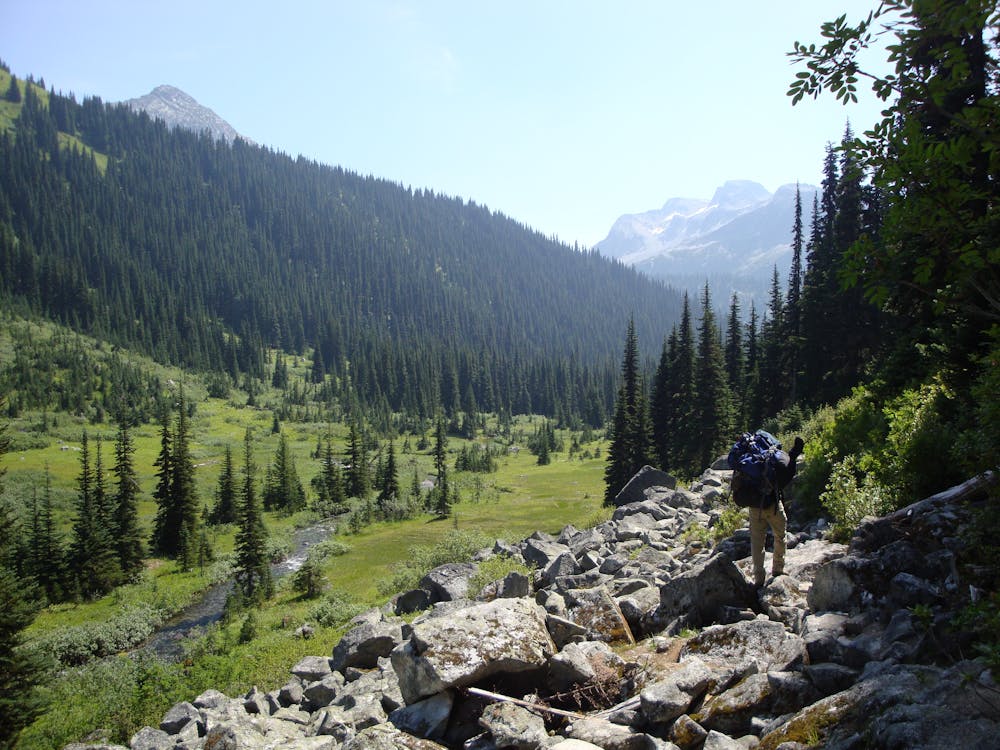
Those looking for a shorter adventure will want to turn back at the turquoise-colored Rohr Lake, but those looking for the added adventure can grind their way up to the summit of Mount Rohr on an unofficial foot path. Expect complete autonomy should anything go wrong and don't hesitate to turn back if the weather turns bad.
Due to the danger of avalanches, this hike is recommended for experienced mountaineers and not suitable for younger children. Dogs are also not allowed on this route and hikers should set aside a minimum of six hours to complete the entire out-and-back trek.
Sources: perfectdaytoplay.com Sebastian Patterson
Moderate
May involve slightly more complex glacier hikes, easy but possibly long rock ridges and steep snow up to 45 degrees. Equivalent to PD, PD+

Much of the route is difficult to protect and a fall could be disastrous at certain points.
Little chance of being seen or helped in case of an accident.
3.6 km away
Classic Mountaineer in the Joffree Group
Moderate Alpine Climbing
3.7 km away
Scramble Northeast Ridge
Easy Alpine Climbing