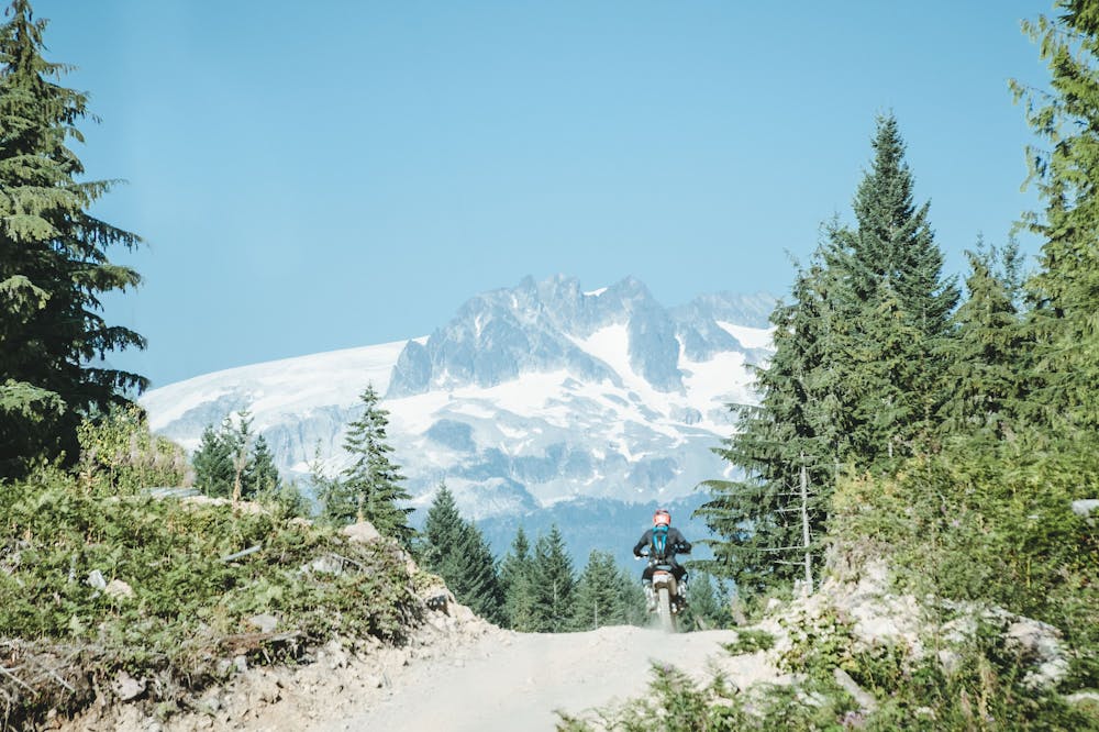
Cookhouse Connector
Squamish
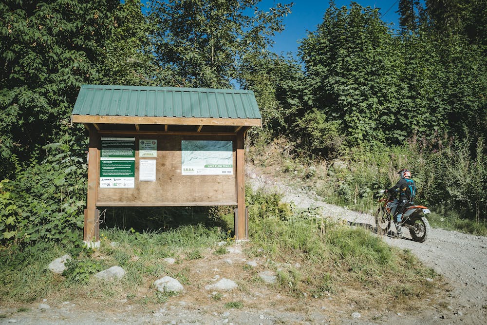
One of two main entry points into Lava Flow.
Dirt Biking Moderate
- Distance
- 2.6 km
- Ascent
- 245 m
- Descent
- 11 m
- Low Point
- 101 m
- High Point
- 336 m
- Gradient
- 10˚

This is a popular dirt biking route which is generally considered to be moderate. It's not remote, it features medium exposure and is typically done in an unknown time of year. From a low point of 101 m to the maximum altitude of 336 m, the route covers 2.6 km, 245 vertical metres of ascent and 11 vertical metres of descent.
- •
- •
- •
- •
- •
- •
- •
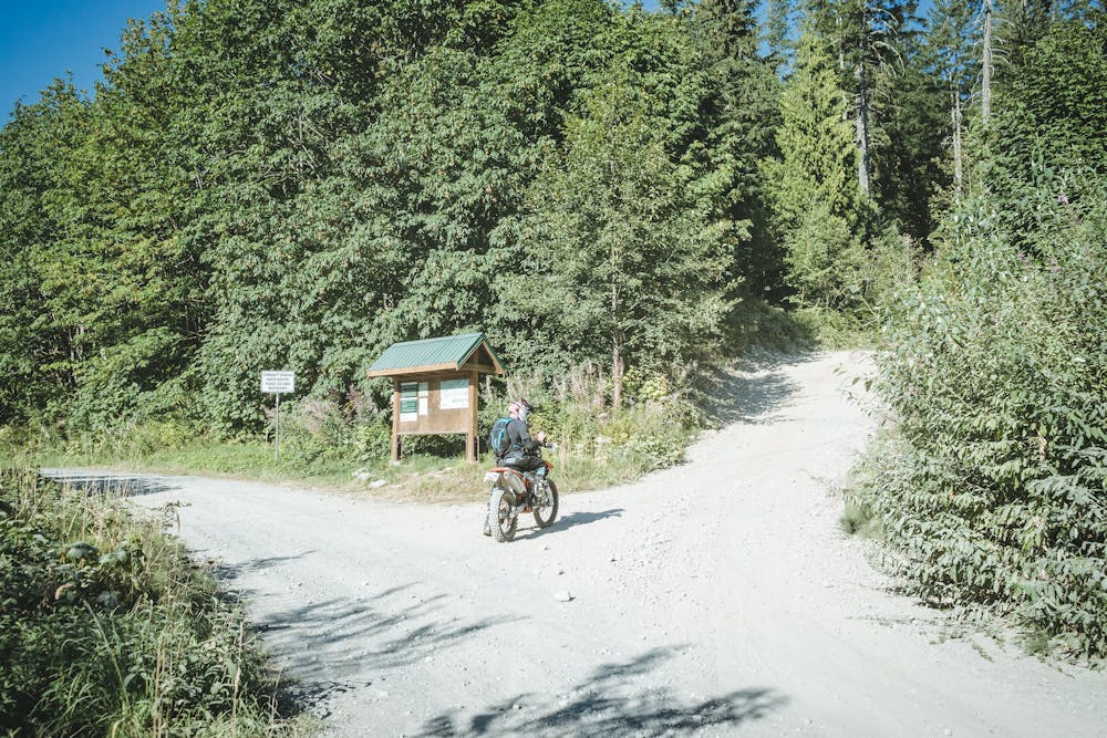
Description
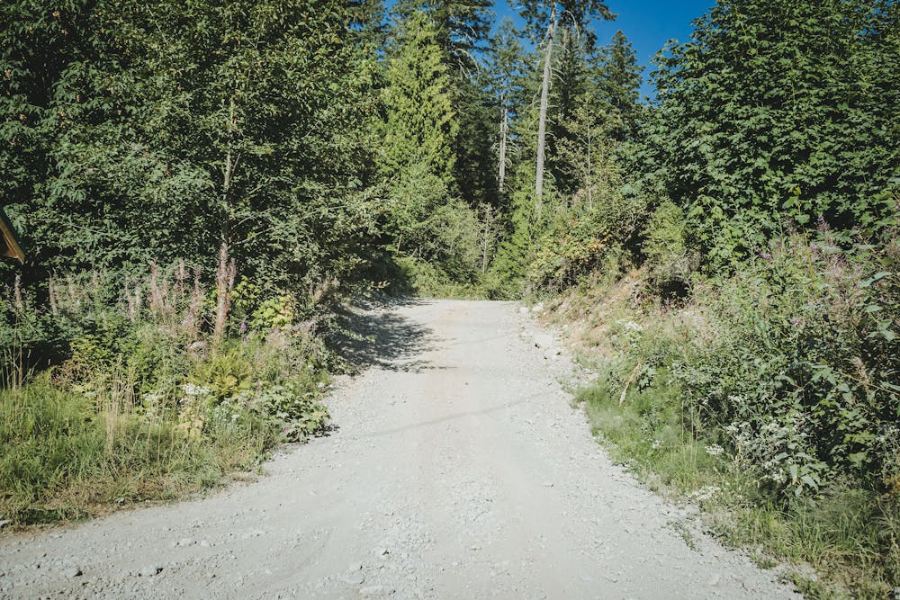
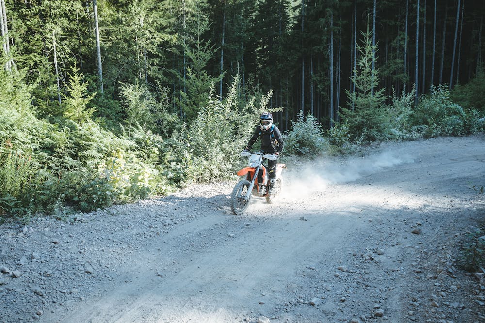
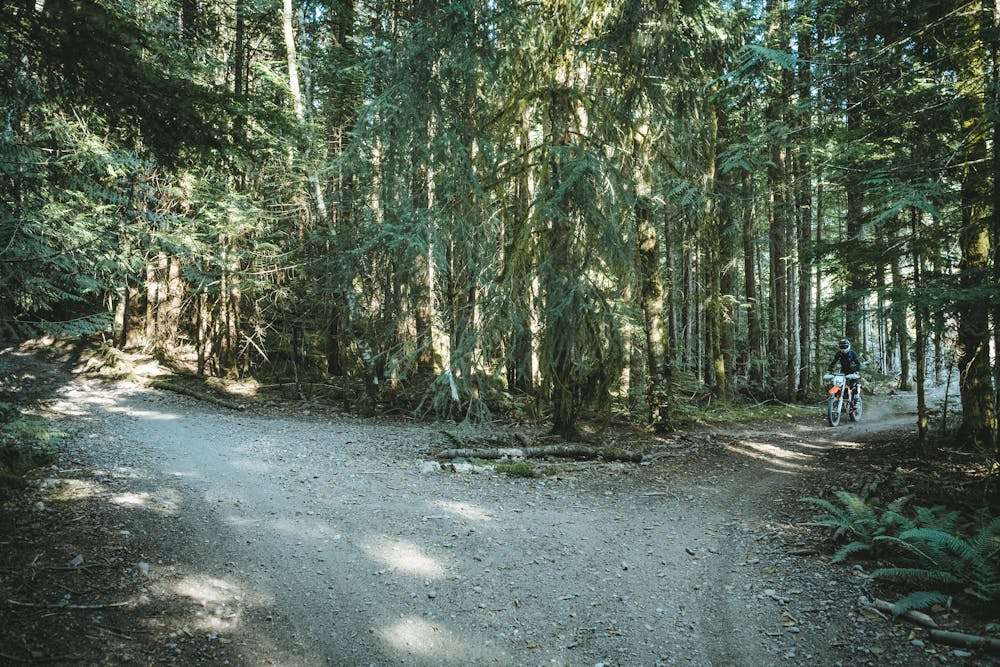
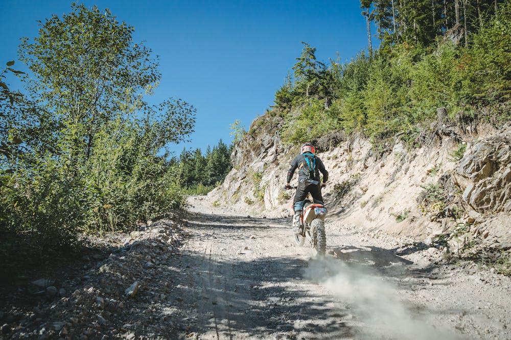
Dirt bike grade: Green. Forest service road. Starts with switch back hill climbs with loose rocky sections and is the most challenging part of the route. Look out for a small jump feature built under the power lines next to the main trail after the initial hill climbs.
Difficulty
Moderate
Medium Exposure

The trail contains some obstacles such as outcroppings and rock which could cause injury.
Remoteness

Close to help in case of emergency.
Features
- Flow
- Road sections
- Wet-weather friendly
- Tabletops
- Rock Gardens