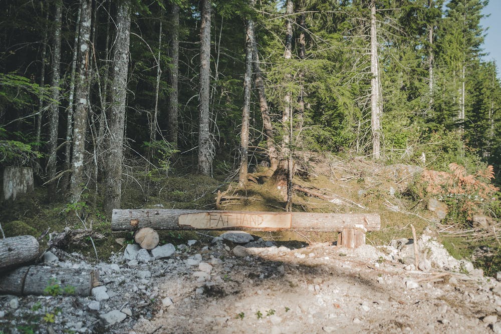
Fathand
Squamish
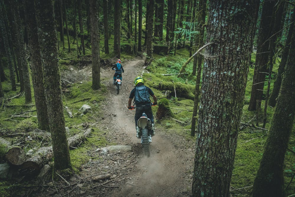
Dirt Biking Extreme
- Distance
- 1.2 km
- Ascent
- 49 m
- Descent
- 32 m
- Low Point
- 335 m
- High Point
- 373 m
- Gradient
- 6˚

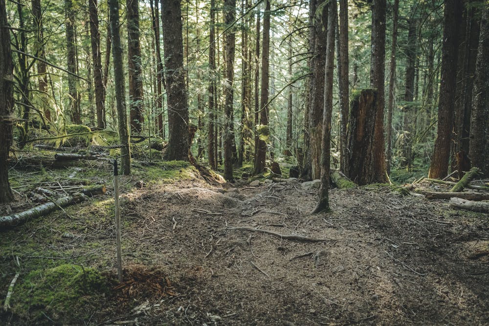
This is a popular dirt biking route which is generally considered to be extreme. It's remote, it features medium exposure and is typically done between March and October. From a low point of 335 m to the maximum altitude of 373 m, the route covers 1.2 km, 49 vertical metres of ascent and 32 vertical metres of descent.
- •
- •
- •
Description
Difficulty
Extreme
Medium Exposure

The trail contains some obstacles such as outcroppings and rock which could cause injury.
Remoteness
Away from help but easily accessed.
Best time to visit
Features
- Technical
- Roots
- Rock Slabs
- Rock Gardens