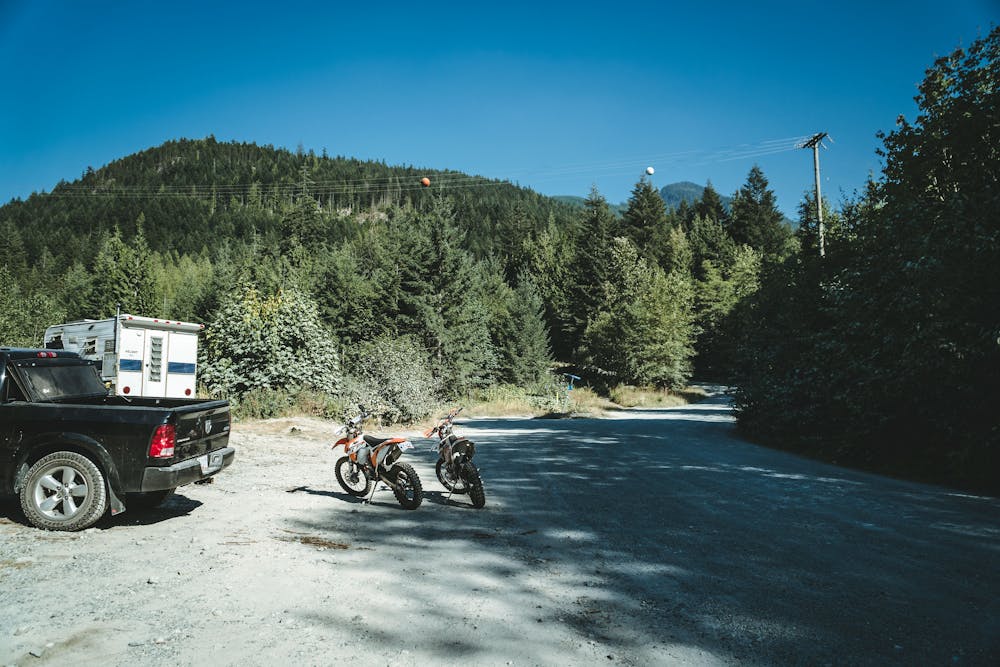
Mamquam Carpark Connector
Squamish
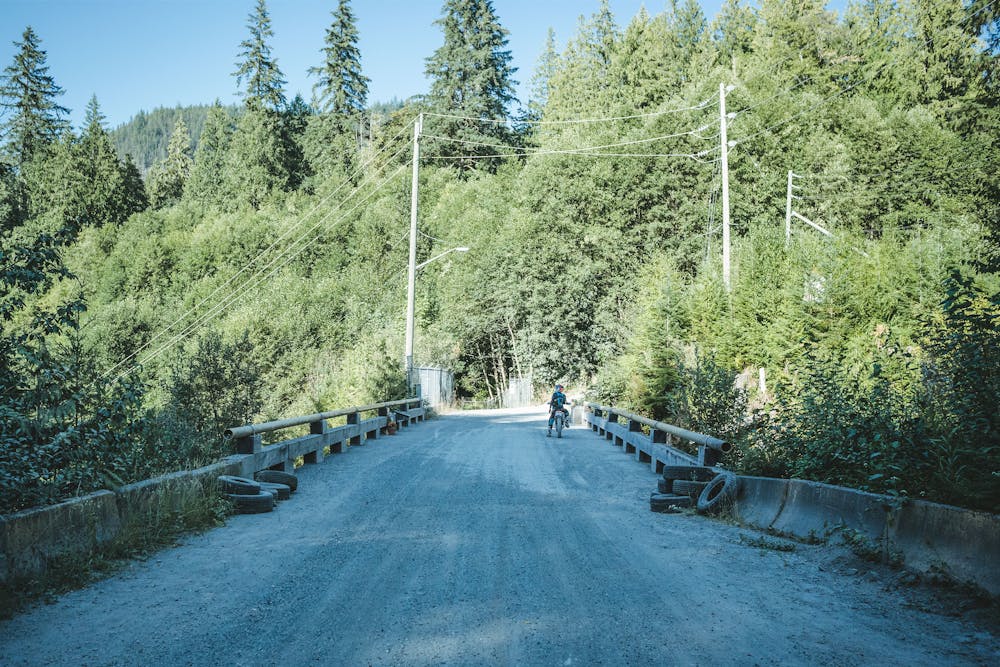
One of two main car park entry points into Lava Flow.
Dirt Biking Easy
- Distance
- 2.4 km
- Ascent
- 51 m
- Descent
- 47 m
- Low Point
- 66 m
- High Point
- 102 m
- Gradient
- 7˚

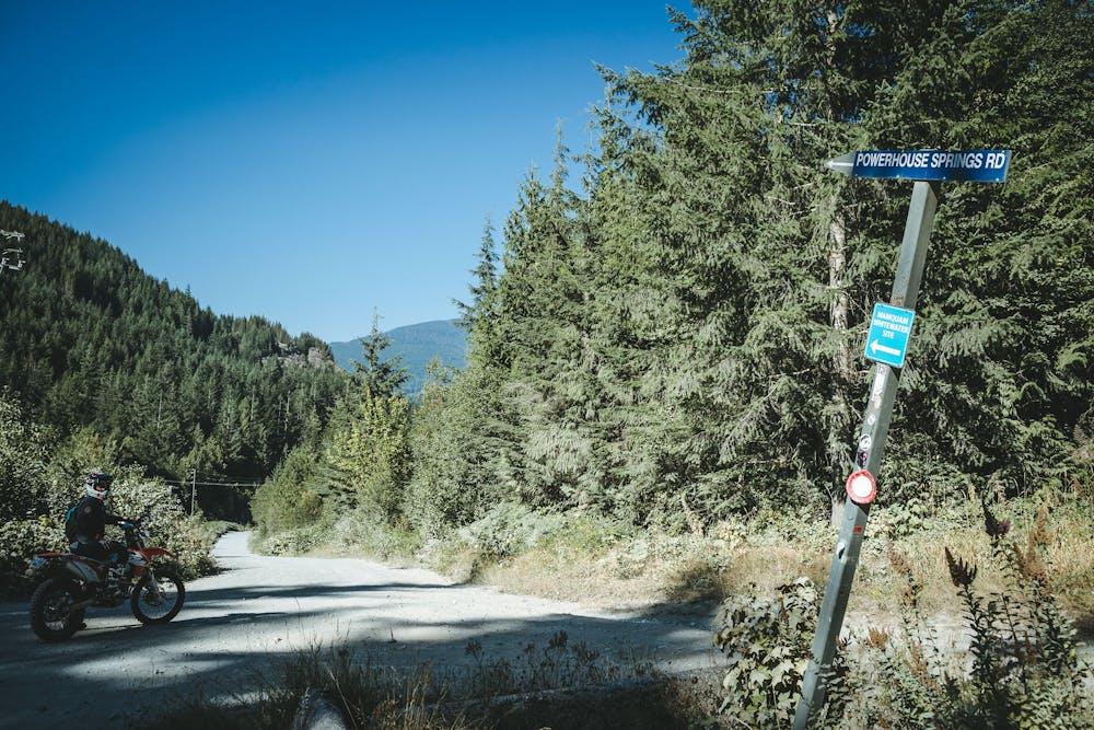
This is a popular dirt biking route which is generally considered to be easy. It's not remote, it features medium exposure and is typically done between March and October. From a low point of 66 m to the maximum altitude of 102 m, the route covers 2.4 km, 51 vertical metres of ascent and 47 vertical metres of descent.
- •
- •
- •
- •
- •
Description
Difficulty
Easy
Medium Exposure

The trail contains some obstacles such as outcroppings and rock which could cause injury.
Remoteness

Close to help in case of emergency.
Best time to visit
Features
- Flow
- Wet-weather friendly