Wray's Way
Squamish
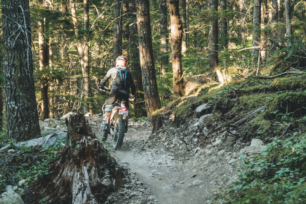
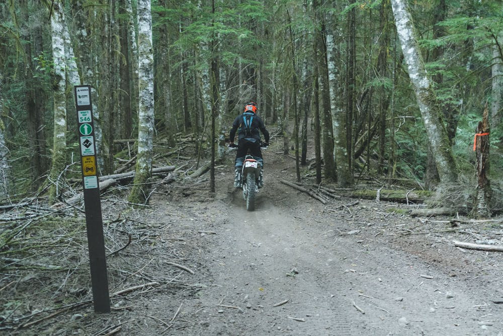
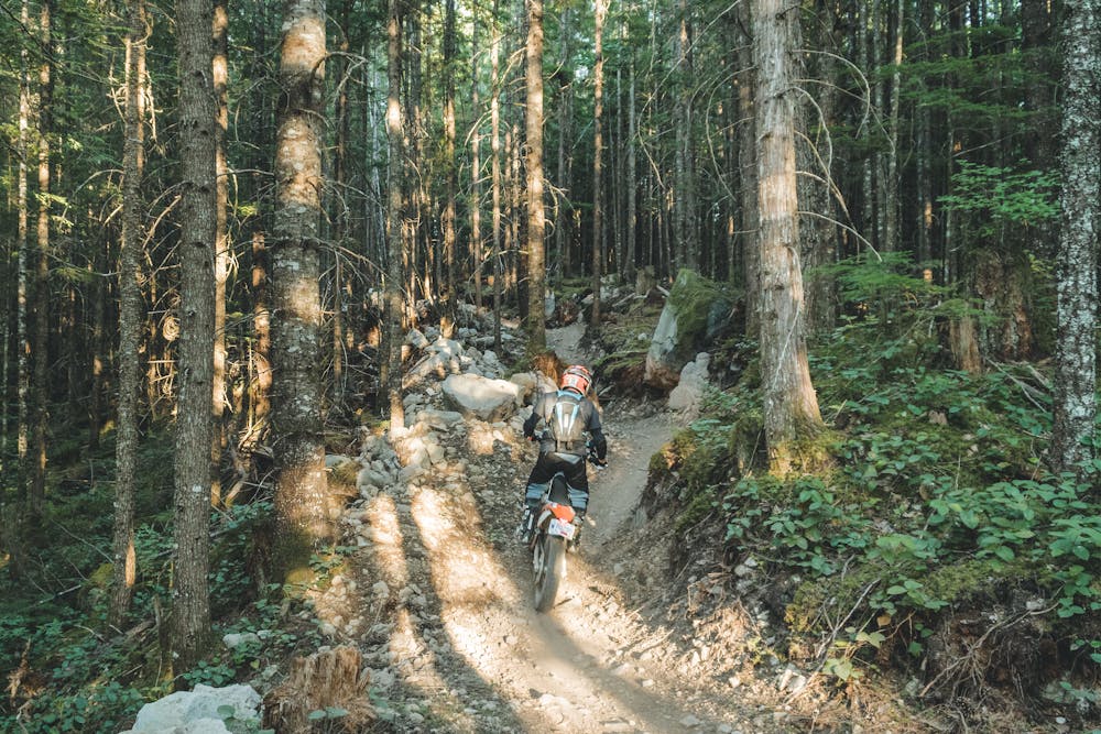
Perfect introduction to Squamish technical riding.
Dirt Biking Difficult
- Distance
- 696 m
- Ascent
- 33 m
- Descent
- 1 m
- Low Point
- 356 m
- High Point
- 389 m
- Gradient
- 4˚

This is a popular dirt biking route which is generally considered to be difficult. It's remote, it features medium exposure and is typically done between March and October. From a low point of 356 m to the maximum altitude of 389 m, the route covers 696 m, 33 vertical metres of ascent and 1 vertical metres of descent.
- •
- •
- •
- •
Description
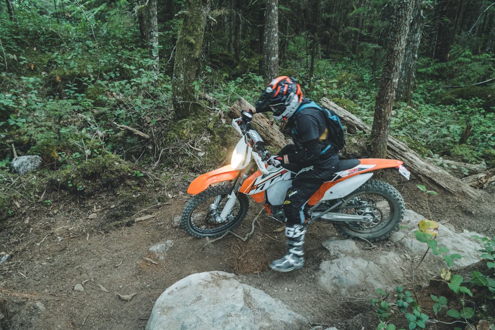
Dirt bike grade: easy Black. Really fun trail.
Difficulty
Difficult
Medium Exposure

The trail contains some obstacles such as outcroppings and rock which could cause injury.
Remoteness
Away from help but easily accessed.
Best time to visit
Features
- Flow
- Technical
- Roots