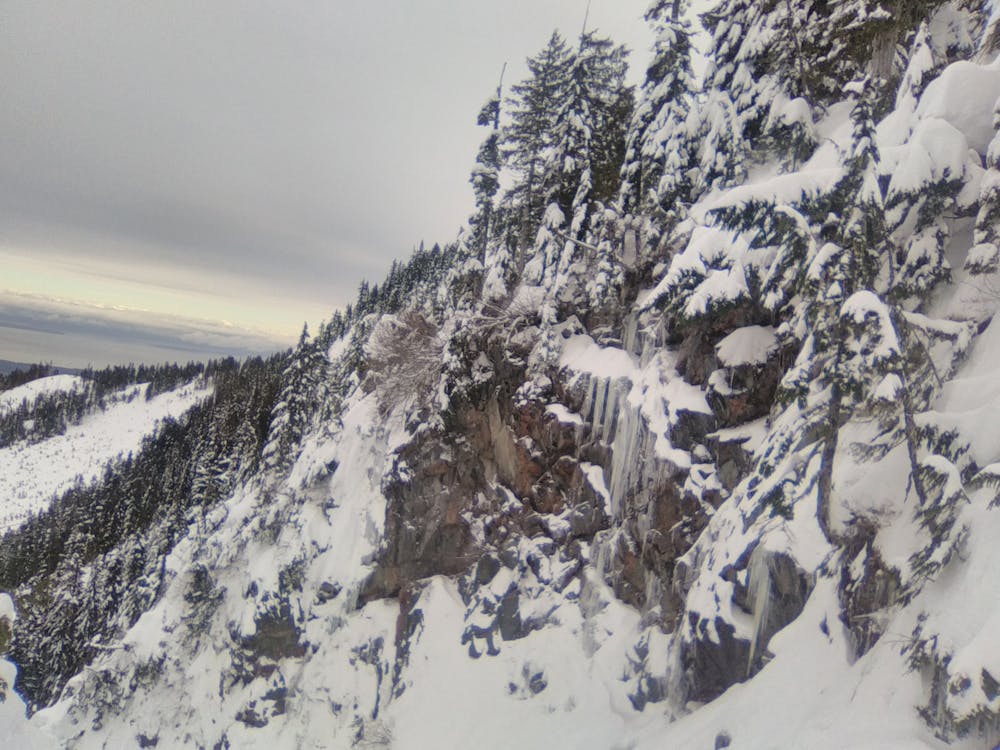
Waterfall Gully
Vancouver Island
A gully on the boundary of Mount Washington Alpine resort.
Freeride Skiing Severe
- Distance
- 334 m
- Ascent
- 1 m
- Descent
- 153 m
- Low Point
- 1.2 km
- High Point
- 1.4 km
- Gradient
- 36˚

This is a popular freeride skiing route which is generally considered to be severe. It's remote, it features medium exposure (e2) and is typically done between January and April. From a low point of 1.2 km to the maximum altitude of 1.4 km, the route covers 334 m, 1 vertical metres of ascent and 153 vertical metres of descent.
Description
Accessed by going through an avalanche gate close to the Mount Washington ski boundary. Usually good snow although can get skied out fast.
Difficulty
Severe
Steep skiing at 38-45 degrees. This requires very good technique and the risk of falling has serious consequences.
Medium Exposure (E2)

As well as the slope itself, there are some obstacles (such as rock outcrops) which could aggravate injury.
Remoteness
Away from help but easily accessed.
Best time to visit
Features
- Cliffs
- Couloir