Blinkhorn Peninsula Trail
Vancouver Island
Like the North Coast Trail only much, much shorter
Hiking Difficult
- Distance
- 4.6 km
- Ascent
- 293 m
- Descent
- 324 m
- Duration
- 1-2 hrs
- Low Point
- 4 m
- High Point
- 168 m
- Gradient
- 12˚

The Blinkhorn Trail is a short classic hike that makes a popular day trip for around Telegraph cove. It is also a common backpacking site for hikers. The route itself is very similar to the North Coast Trail with lot's of rapid steep climbs and descent and some beach walking. If you want a sense for the North Coast Trail the Blinkhorn offers a taste.
- •
- •
- •
- •
- •
- •
- •
- •
Description
Logistics The trailhead is awkward to find due to it's location in the Forest Campground. From Telegraph cove follow the signs up a hill, and over a bridge into the campground proper. There are signs, but they are easy to miss directing hikers to Lot 72. Take an immediate left after the bridge, and just past the open field into the trees is a section for parking. Park tight as there is only about 6-8 spaces.
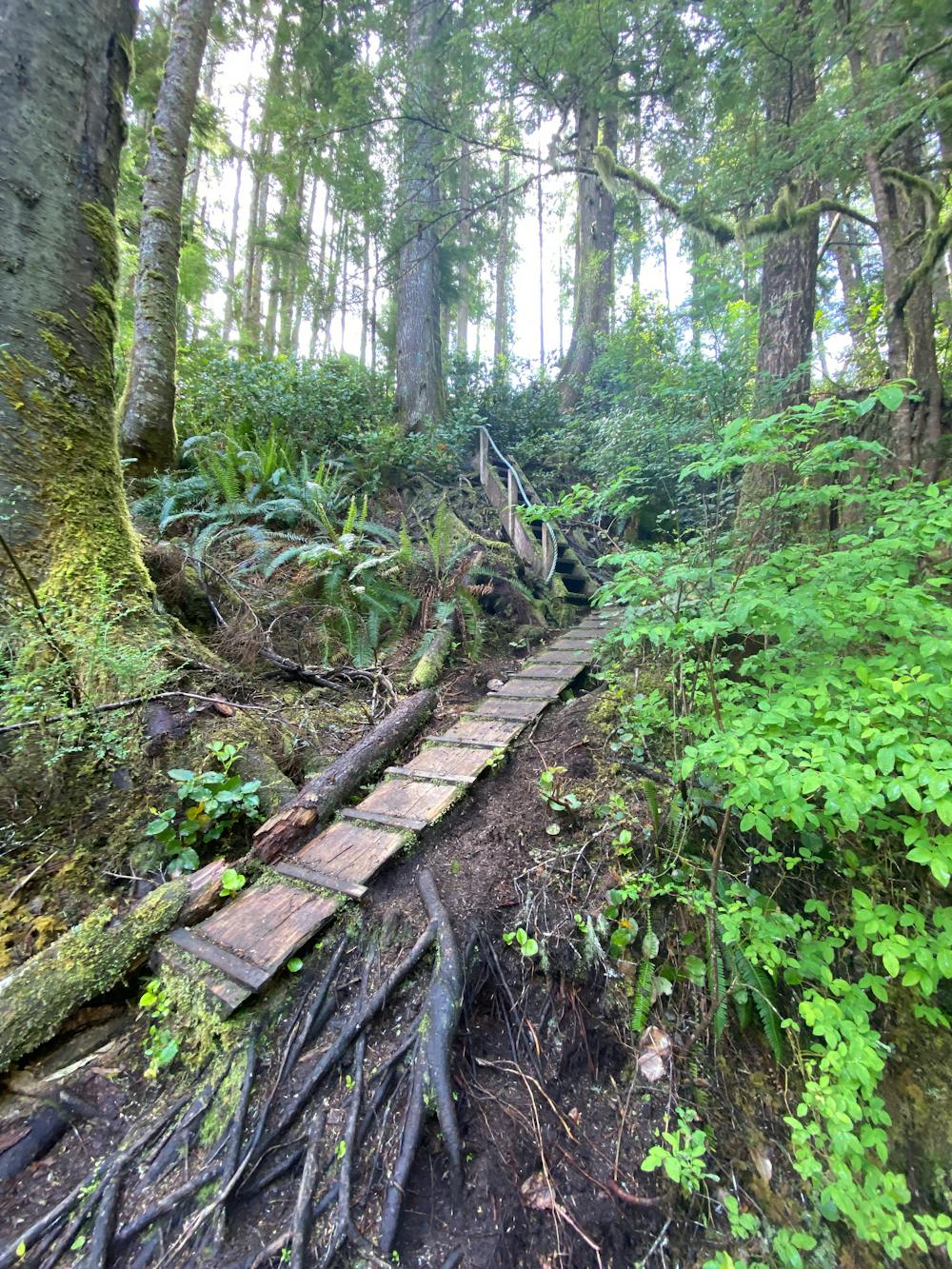
The trail is marked with blue and yellow paint on trees, rocks and other sections. In fading light these can be hard to follow.
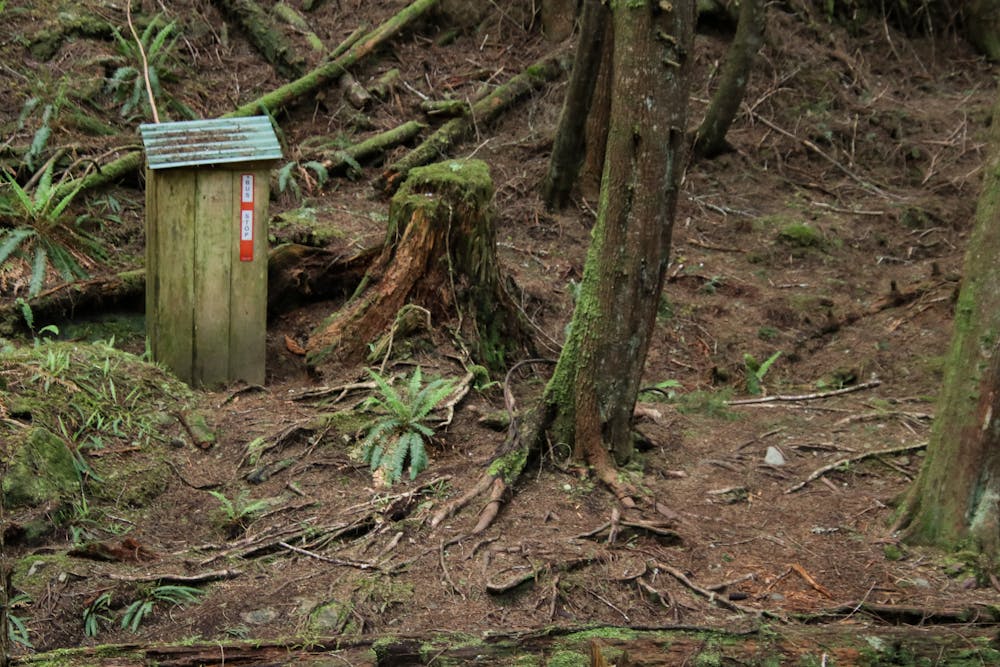
- The trailhead is indeed right beside Lot 72. Look for a roofed sign board hidden in the bushes.
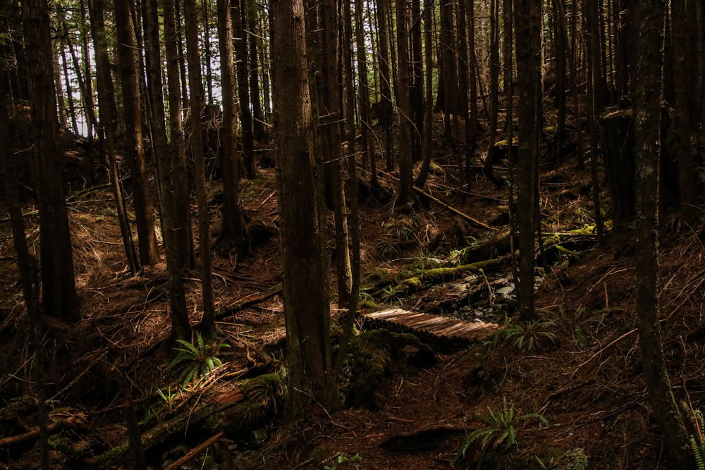
- The trail cross a bridge and then rapidly gains steep elevation over eroded sections.
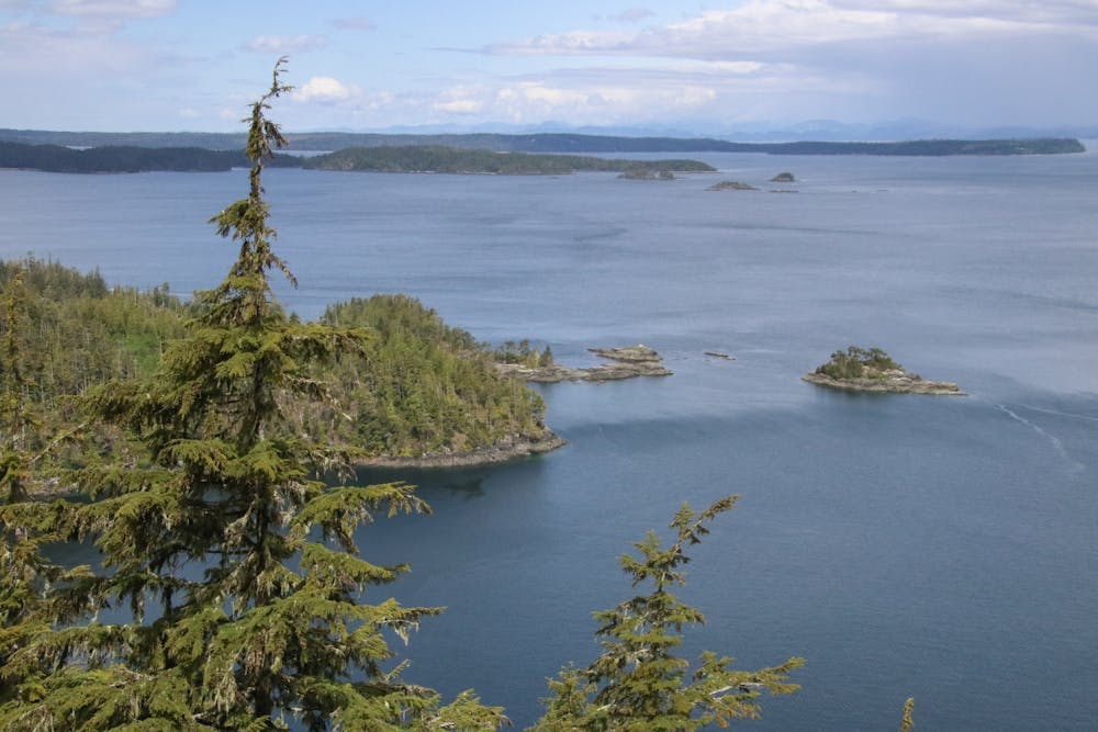
- After a short climb there is a rope heading up into the trees to the north. This is a worthwhile detour that gets to an exceptional viewpoint overlooking Bauza Cove, The Johnston Straight and Weyton Passage. Increasingly humpbacks have been moving into this area, and come July Orcas can be seen.
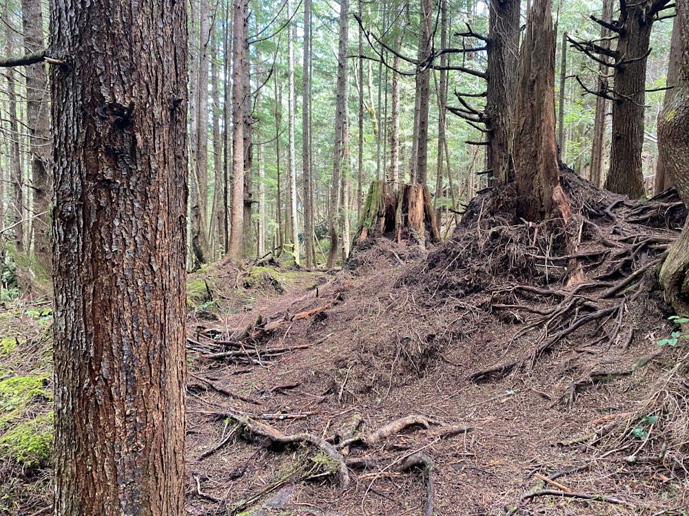
- Past here the trail can be a bit more wild with overgrown salal, fallen trees and occasional less vegetated sections where you may lose your way if you aren't paying attention.
- The trail follows a creek downward to a bench that stays above the shore.
- The bench is the most vegetated section and can feel a little bushwhacky at times, but the trail is well defined beneath the clutter.
- The trail forks just past a creek with a very slippery rough log bridge that is not recommended. Here you can opt to head down and walk along the beach, or continue along. You will have to climb back up a short ways if you opt for the beach at anything but the lowest tides.
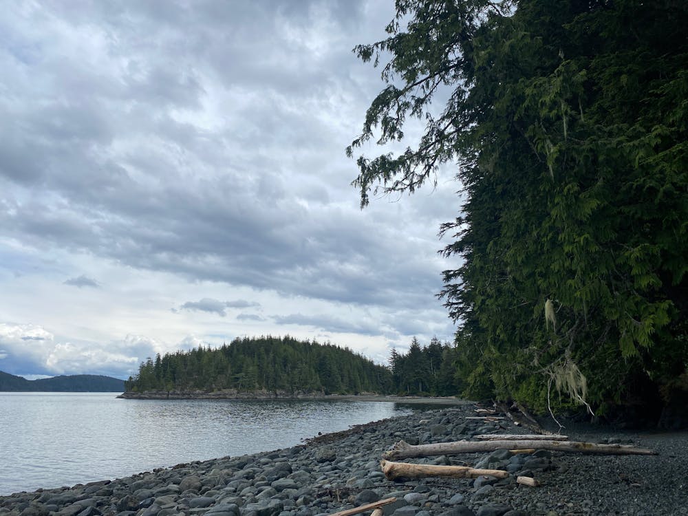
- The trail descends once more into a flatter section with a beach to the Northwest and the Camp site section to the east. There are open sections for tents and a picnic bench.
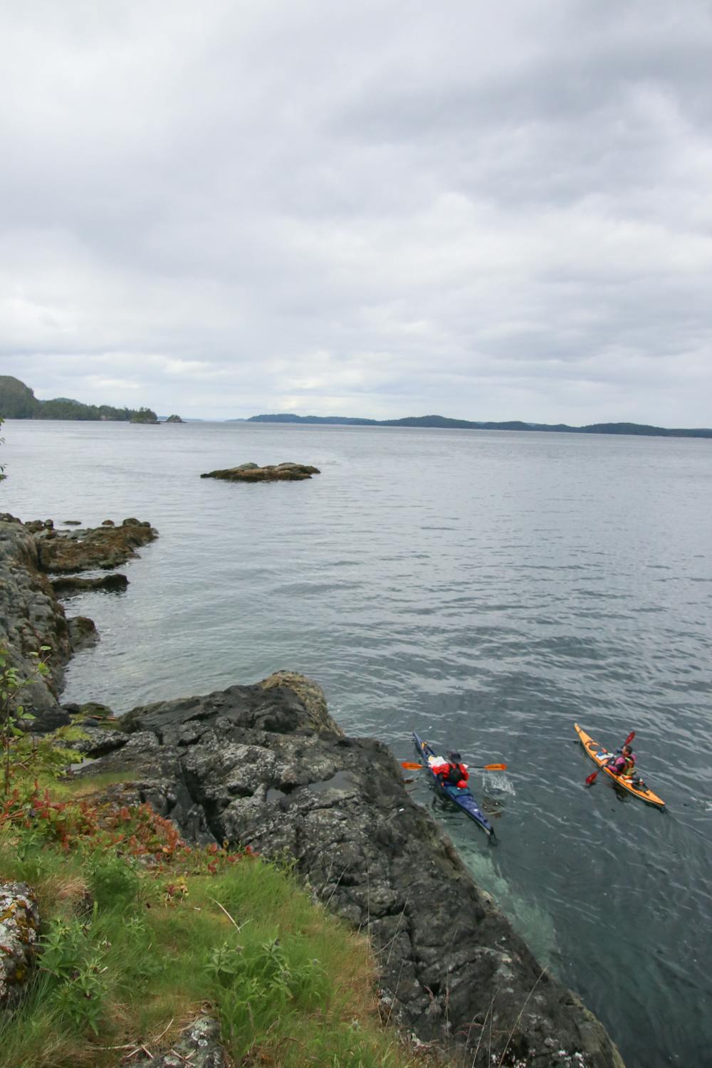
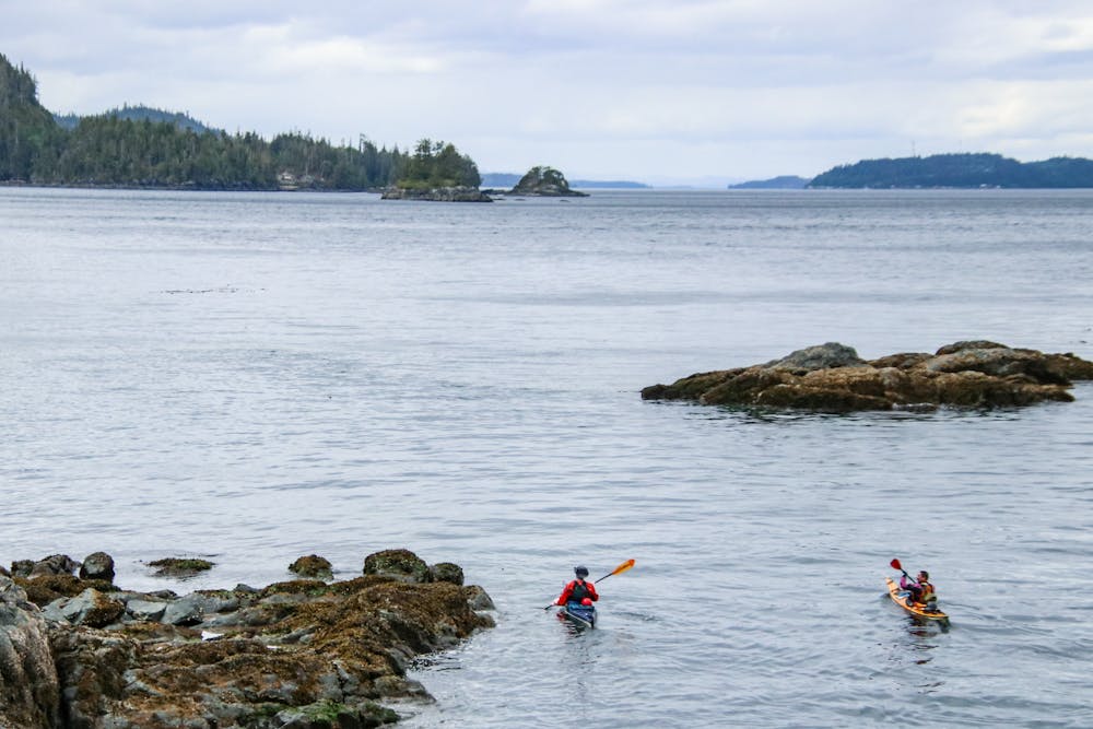
- Head out onto the beach ( making note of the buoys hung in the trees to mark the trail entrance) and cross the creeks over the land bridge to the Blinkhorn. At high tides this can be covered.
- In the centre of the rocky face is the trail marked by buoys., Head up this steep trail using the ropes provided. The trail evens out a bit before dropping back down and popping out on a small rocky point beside the navigational light.
- Return the route you came on.
A Few Notes
- North Island Weather is fickle and changes rapidly. Always assume it could rain or wind storm within 15 minutes.
- Check tide tables to ensure you can cross back and forth to the peninsula. It would not be a hard wade across if you got stuck, but still.
- Be prepared for very muddy sections
Difficulty
Difficult
Hiking trails where obstacles such as rocks or roots are prevalent. Some obstacles can require care to step over or around. At times, the trail can be worn and eroded. The grade of the trail is generally quite steep, and can often lead to strenuous hiking.
Medium Exposure

The trail contains some obstacles such as outcroppings and rock which could cause injury.
Remoteness
Away from help but easily accessed.
Best time to visit
Features
- Wildlife
- Picturesque
- Dog friendly
- Water features
- Forestry or heavy vegetation