5.6 km away
Day 3 North Coast Trail
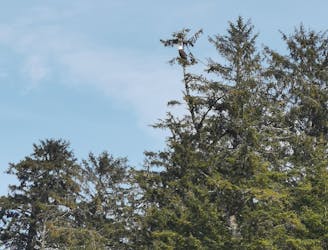
A very scenic day on trail with minimal inland routes, this is one of the best areas on trail to see an array of wildlife along the beaches.
Difficult Hiking
- Distance
- 7.8 km
- Ascent
- 186 m
- Descent
- 193 m
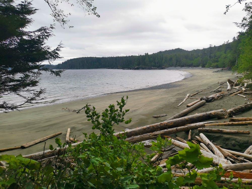
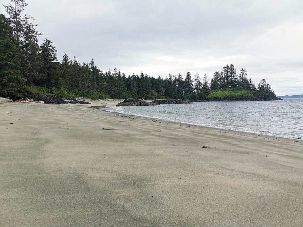
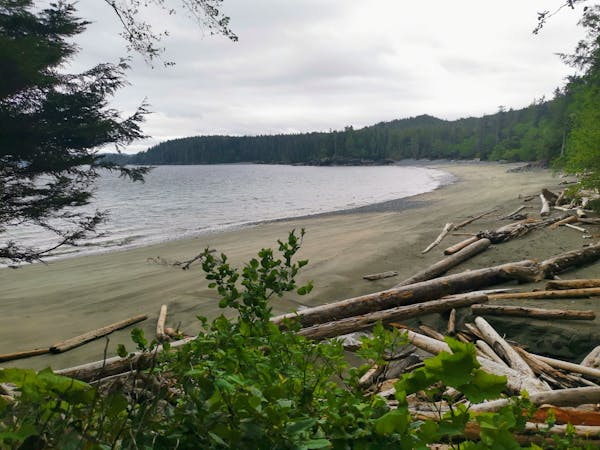
A much more scenic day than day 1, with some of the best beaches on Vancouver Island to be found at Cape Sutil
Hiking Difficult

Day 2 on the trail showcases some of the best beaches on Vancouver Island, the first cable car crossing on the trail, and some challenging inland trails that will make for some very difficult hiking.
There are 2 places on this section trail that maybe impassable at high tide, the first one is as soon as you leave camp at Skinner Creek, but that does have an inland option, the 2nd is just before Cape Sutil, there is no alternative to this section, make sure you time your day to avoid arriving here at high tide.
After a short hike from Skinner creek you will arrive at the Nahwitti river campground, this is a great place to stop and enjoy the views before the very difficult inland section that follows. As you leave this campground you will take the first of 2 cable cars on the trail. I personally find these really fun to ride on, they offer good views up the river and give you the chance rest your legs and work the arms instead.
The inland trail from Nahwitti river to Cape Sutil is a very difficult section of trail, expect lots of mud, extremely slippery terrain and steep rugged headlands. You may need to remove your pack at times and lower it using the ropes provided, to make some of these sections easier to get through.
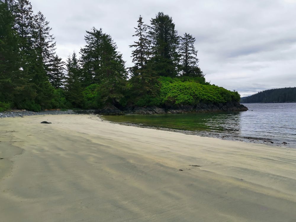
The hard work through the inland trail is well rewarded though. Once you reach Cape Sutil, it's one of, if not the highlight of the North Coast Trail. The beaches here are seriously awesome, you even have views of the mountains away in the distance.
The sandy beaches here make for a great campground, you can also camp on the other beaches just around the headland, although there are no facilities here or bear lockers, so personally I'd camp on the beach at Cape Sutil and just walk around to the other beaches with no backpack, as the trail to them is very narrow.
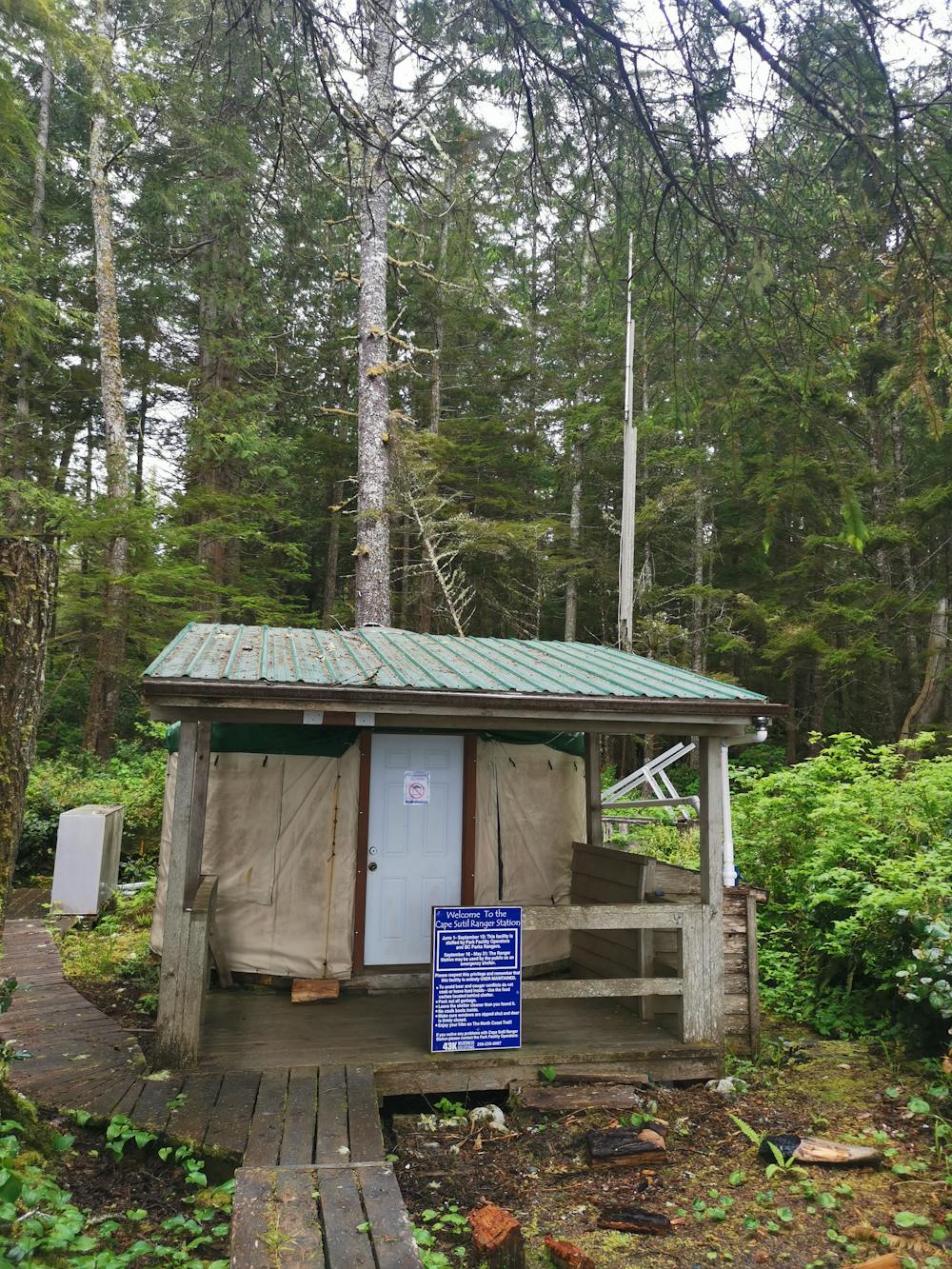
There is a ranger station here which is manned during peak season (June-Sept), if hiking outside of these months the public can use the Yurt as a shelter, it has a fireplace, bunkbed and radio in case of an emergency.
Depending on hiking ability and conditions, it can take 4-7 hours to complete this route.
Difficult
Hiking trails where obstacles such as rocks or roots are prevalent. Some obstacles can require care to step over or around. At times, the trail can be worn and eroded. The grade of the trail is generally quite steep, and can often lead to strenuous hiking.

The trail contains some obstacles such as outcroppings and rock which could cause injury.

Little chance of being seen or helped in case of an accident.
5.6 km away
A very scenic day on trail with minimal inland routes, this is one of the best areas on trail to see an array of wildlife along the beaches.
Difficult Hiking
7.7 km away
An extremely difficult start, but well worth the effort as you begin one of the best coastal trails in Canada.
Severe Hiking
6 routes · Hiking