27 m away
Juan De Fuca Trail Day 1
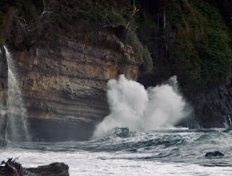
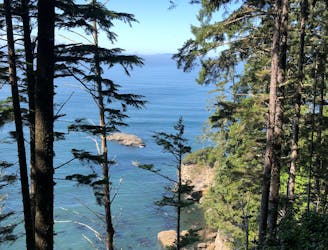
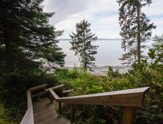
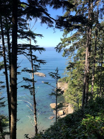
A gentle start to a 4 day trek, with plenty of mud but some great beaches and waterfalls too.
Moderate Hiking
- Distance
- 7.9 km
- Ascent
- 328 m
- Descent
- 402 m
3-4 day hike on Vancouver Island's West Coast
Hiking Moderate

This is a popular hiking route which is generally considered to be moderate. It's an unknown remoteness, it features unknown exposure and is typically done in an unknown time of year. From a low point of -1 m to the maximum altitude of 187 m, the route covers 43 km, 1937 vertical metres of ascent and 1954 vertical metres of descent.
1901 Choquette Ave Nelson BC
Moderate
Hiking along trails with some uneven terrain and small hills. Small rocks and roots may be present.
27 m away
A gentle start to a 4 day trek, with plenty of mud but some great beaches and waterfalls too.
Moderate Hiking
28 m away
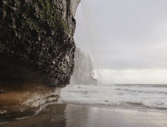
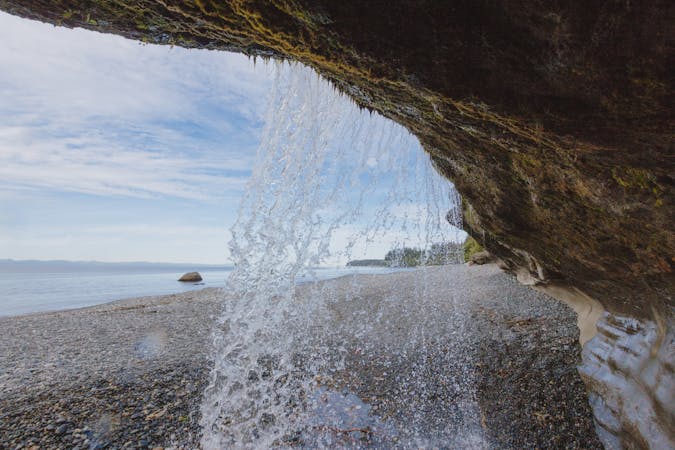
Hike a section of the Juan de Fuca Trail down to Mystic Beach and explore the cascading waterfall and captivating sea cave.
Moderate Hiking
5.7 km away
The most challenging day with a more technical trail that has plenty of ups and downs.
Difficult Hiking
5.9 km away
Where the rainforest meets the sea on this west coast beach, find twin waterfalls flowing over a sandstone bluff.
Moderate Hiking
4 routes · Hiking
4 routes · Hiking