Kager Lake Loop
A scenic hike along the shores of Kager Lake.
Hiking Easy
- Distance
- 2.8 km
- Ascent
- 65 m
- Descent
- 65 m
- Duration
- 0-1 hrs
- Low Point
- 827 m
- High Point
- 844 m
- Gradient
- 3˚

While Boer Mountain is best known for its gnarly mountain biking trails, there are still several trails in this network that are ideal for hiking. One of the best hiking loops is this easily-accessible jaunt around Kager Lake.
- •
- •
Description
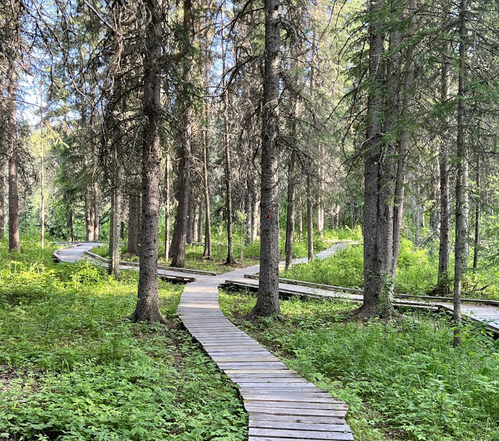
This easy 2-mile loop consists of a packed gravel path that presents no technical challenges whatsoever. Instead of a challenge, the Kager Lake Loop rewards with beautiful views and a deep forest. One intriguing section features an extended boardwalk with two intertwining bridges: one wider and one narrower.
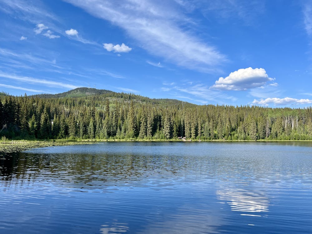
Along the way around the lake, you'll enjoy stunning views of this hidden gem. There are a couple of lookout decks that beckon you to pause and soak in the beautiful view. At one point, you'll pass a dock that serves as a popular swimming spot.
You'll also pass a slew of hike-in (or bike-in) campsites along the lakeshore that can't be accessed by car. If you want to haul your gear in, you can enjoy an absolutely idyllic campsite with a fraction of the traffic found in the nearby car camping area. Astonishingly, pit toilets have also been built out in the woods to serve these hike-in sites, which is very convenient.
While the Kager Lake Loop might be short, it's a true gem that's worth checking out!
Difficulty
Easy
Walking along a well-kept trail that’s mostly flat. No obstacles are present.
Low Exposure

The path is on completely flat land and potential injury is limited to falling over.
Remoteness
Close to help in case of emergency.
Best time to visit
Features
- Picturesque
- Water features
- Family friendly
- Forestry or heavy vegetation