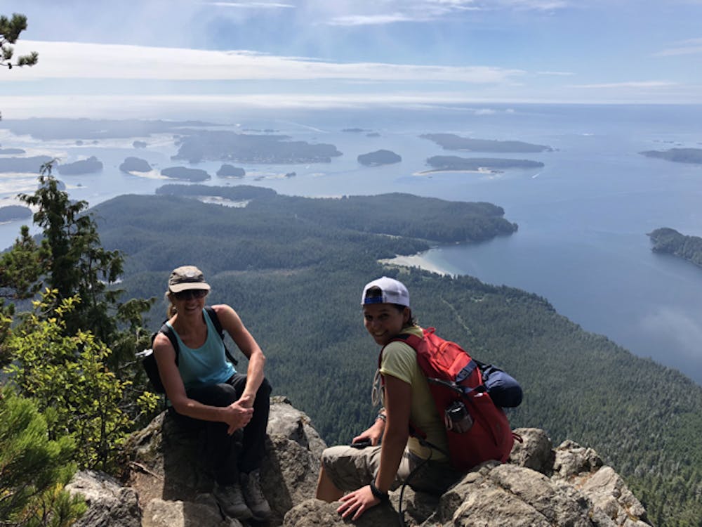
Lone Cone Summit (from Tofino)
Vancouver Island
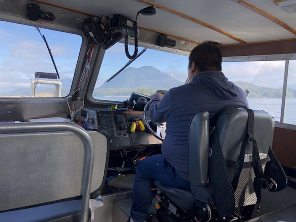
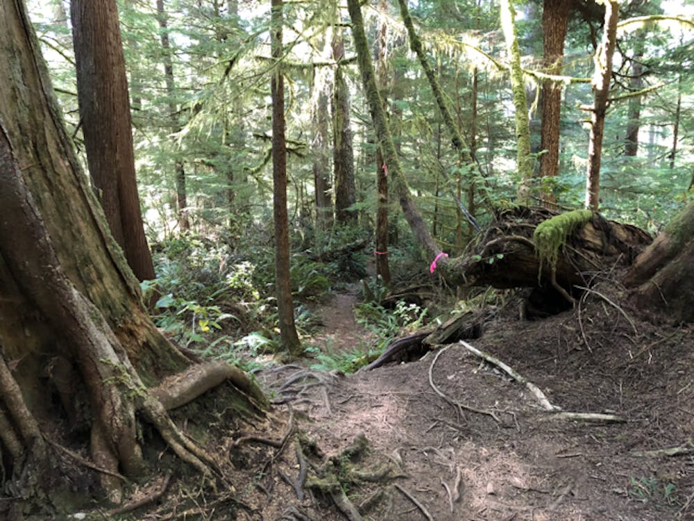
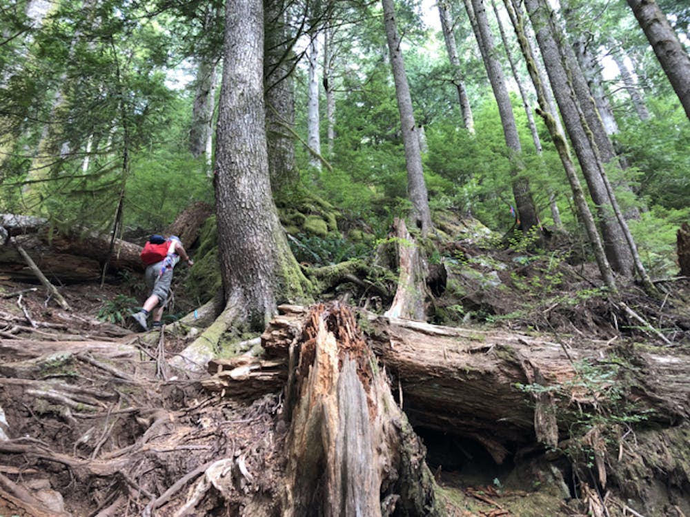
Catch a small boat out of Tofino to get across to Meares Island to hike straight up the steep slope of Lone Cone, just following ribbon-tags on trees for some of the way. (Distance is one way only)
Hiking Difficult
- Distance
- 4 km
- Ascent
- 705 m
- Descent
- 53 m
- Duration
- 2-3 hrs
- Low Point
- 9 m
- High Point
- 698 m
- Gradient
- 30˚

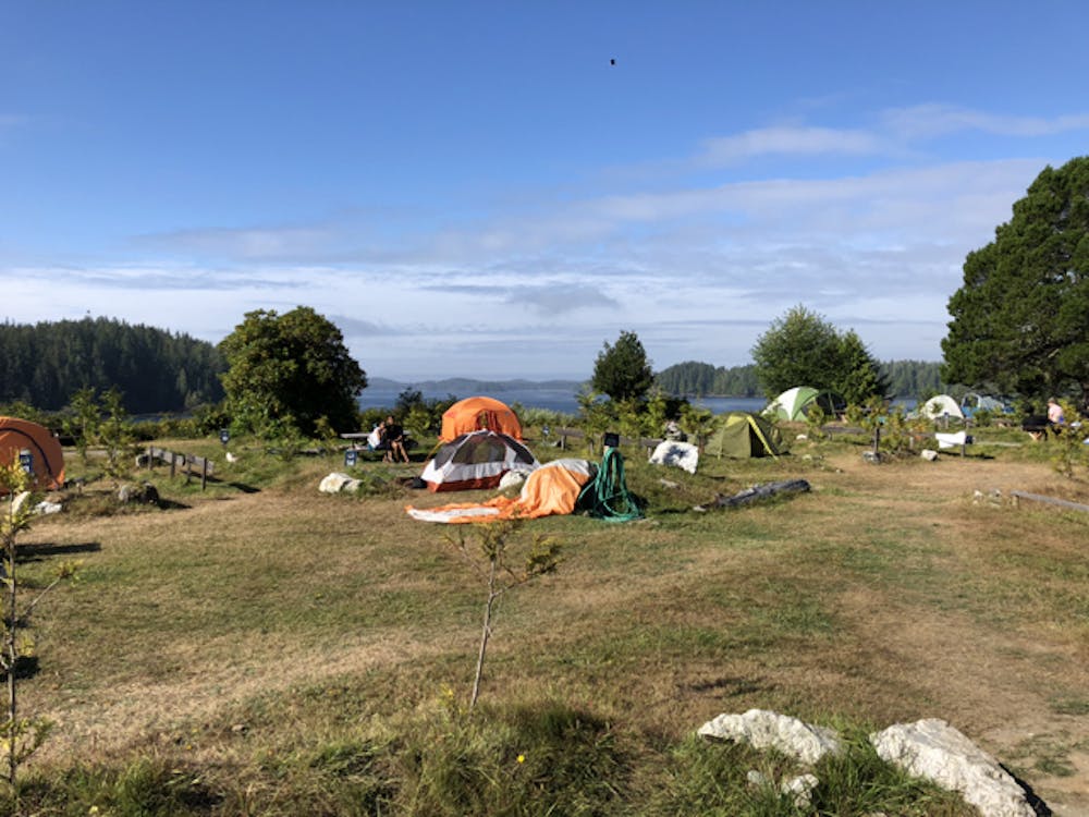
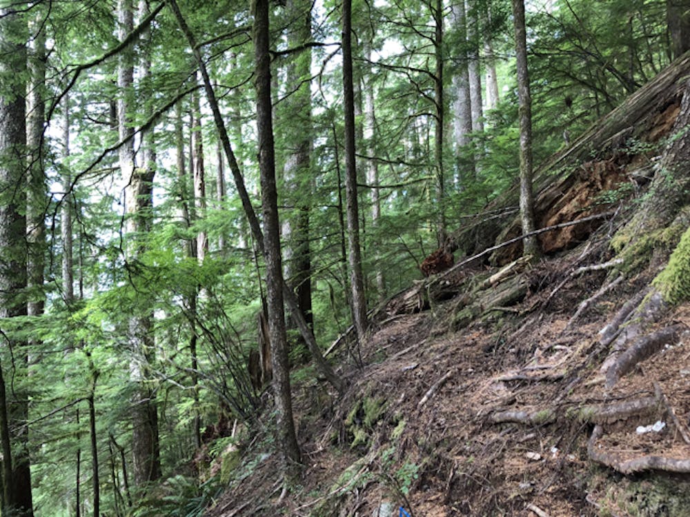
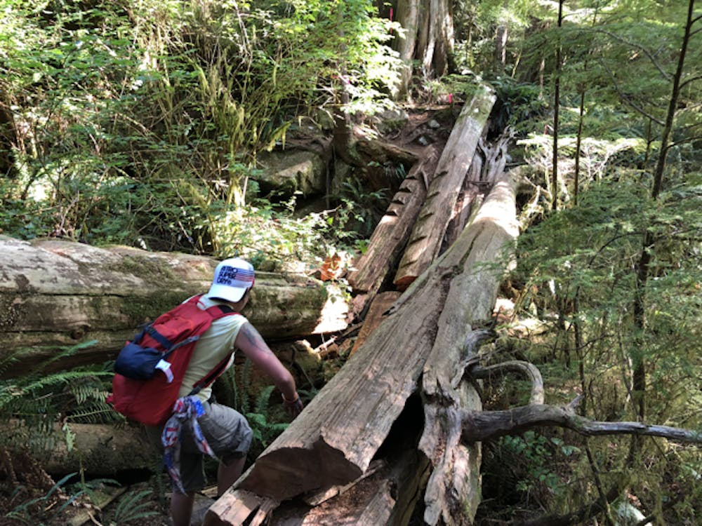
This hike takes some planning as it is on Meares Island away from the Tofino townsite and reached by a 15-20 min boat trip. There is a regular boat (for campers) but check hours of operation. Most of the hike is very steep and it is easy to slip and fall. Logs need climbing over/under. TAKE CARE. The view from the cliff-top at the summit is absolutely spectacular. Intermittent cloud cover seems common during the day, even in summer. You might need to wait for the view. There is a small shop and toilets at the camp ground.
- •
- •
- •
- •
- •
- •
- •
Difficulty
Difficult
Hiking trails where obstacles such as rocks or roots are prevalent. Some obstacles can require care to step over or around. At times, the trail can be worn and eroded. The grade of the trail is generally quite steep, and can often lead to strenuous hiking.
Medium Exposure

The trail contains some obstacles such as outcroppings and rock which could cause injury.
Remoteness
Away from help but easily accessed.
Best time to visit
Features
- Picturesque
- Summit Hike
- Forestry or heavy vegetation