
7 routes · Hiking · Trail Running
A full adventure day with a ferry and hike
Hiking Moderate

Mt Gardener's Hiker's Trail is a pleasant hike that follows the easiest line to the summit. It mostly sticks to old logging roads, and the trail is fairly straightforward. There are numerous well signposted side shoots that pose the only navigational challenges.


The trail head is up a short road, a couple of kilometres to the Northwest of the Snug Cove, where the ferry lands. You can take the 282 Bus from Snug Cove to just near the trail base, or walk through the woods to access the trail near Kill Creek.
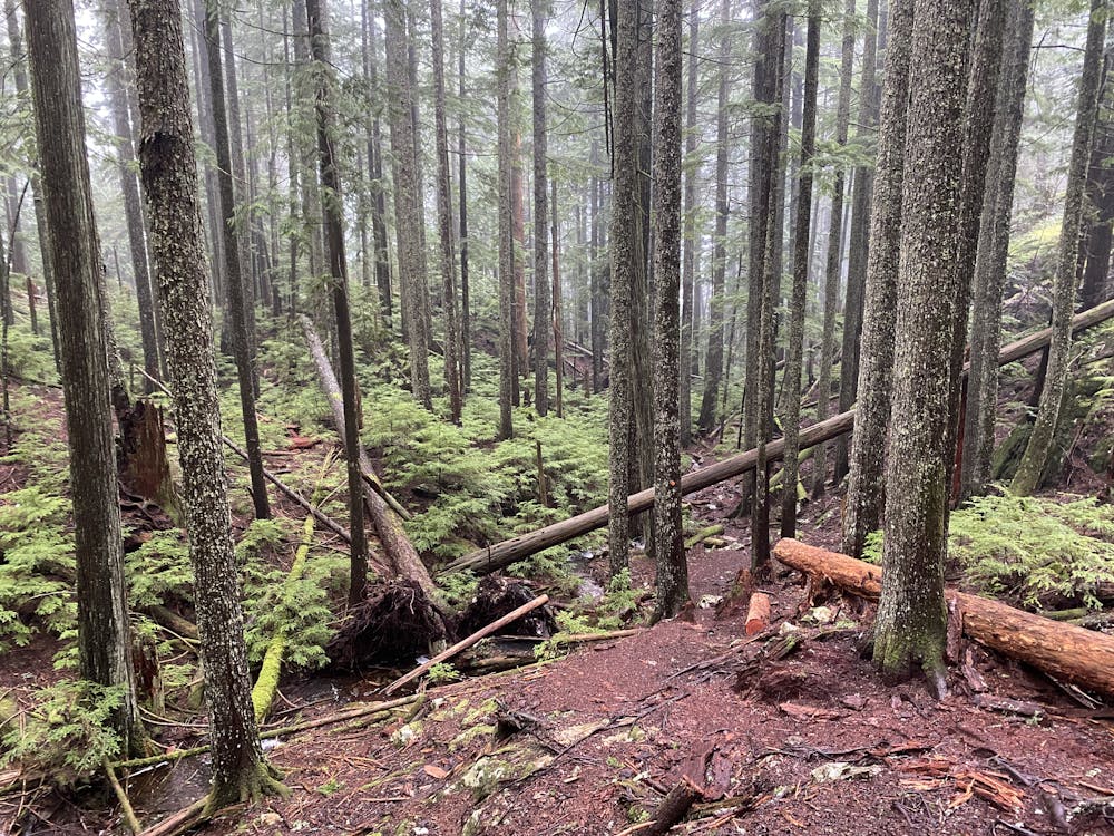
The trails begins as a moderately steep logging road, before become a switchback and narrowing. After a bit of flat the forests begin to get older, you start climbing again. Briefly the trail runs beside a fabulous viewpoint looking out towards the sunshine coast.
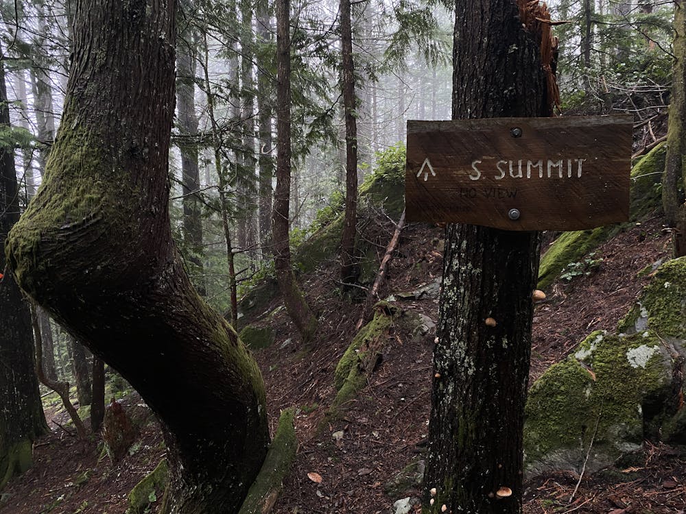
Then the trail is steep as it climbs up slightly muddy and rocky terrain for a short period before a turn off to the North Summit. Here you get great views of the Howe Sound, Vancouver, the Island, and more.... if the clouds clear. In summer this is common, but less so in the fall and winter.
Moderate
Hiking along trails with some uneven terrain and small hills. Small rocks and roots may be present.

The trail contains some obstacles such as outcroppings and rock which could cause injury.

Close to help in case of emergency.
7 routes · Hiking · Trail Running

6 routes · Hiking