Okanagan High Rim Trail - Southern Section
The wilder, tougher and better half of the Okanagan High Rim Trail
Hiking Moderate
- Distance
- 68 km
- Ascent
- 2.1 km
- Descent
- 2.4 km
- Duration
- 1 day +
- Low Point
- 763 m
- High Point
- 2.2 km
- Gradient
- 12˚

Taking in some huge views and true wilderness, this is a spectacular journey which feels tougher than the statistics might suggest. In contrast to the northern part of the High Rim Trail, much of the southern section is vague and you'll need solid micro-navigation skills to do it efficiently. It's also vital to check the state of the river crossing at Mission Creek, just before the trail reaches its terminus at Highway 33. If you arrive at the river and it's impassable you will have to retrace your steps to Browne Lake and try to organise a ride from there, so ensure that you can cross Mission Creek before setting off. If you realise you won't be able to cross it, end your trip at Browne Lake Campground or Hydraulic Lake.
- •
- •
- •
- •
- •
- •
- •
- •
- •
- •
Description
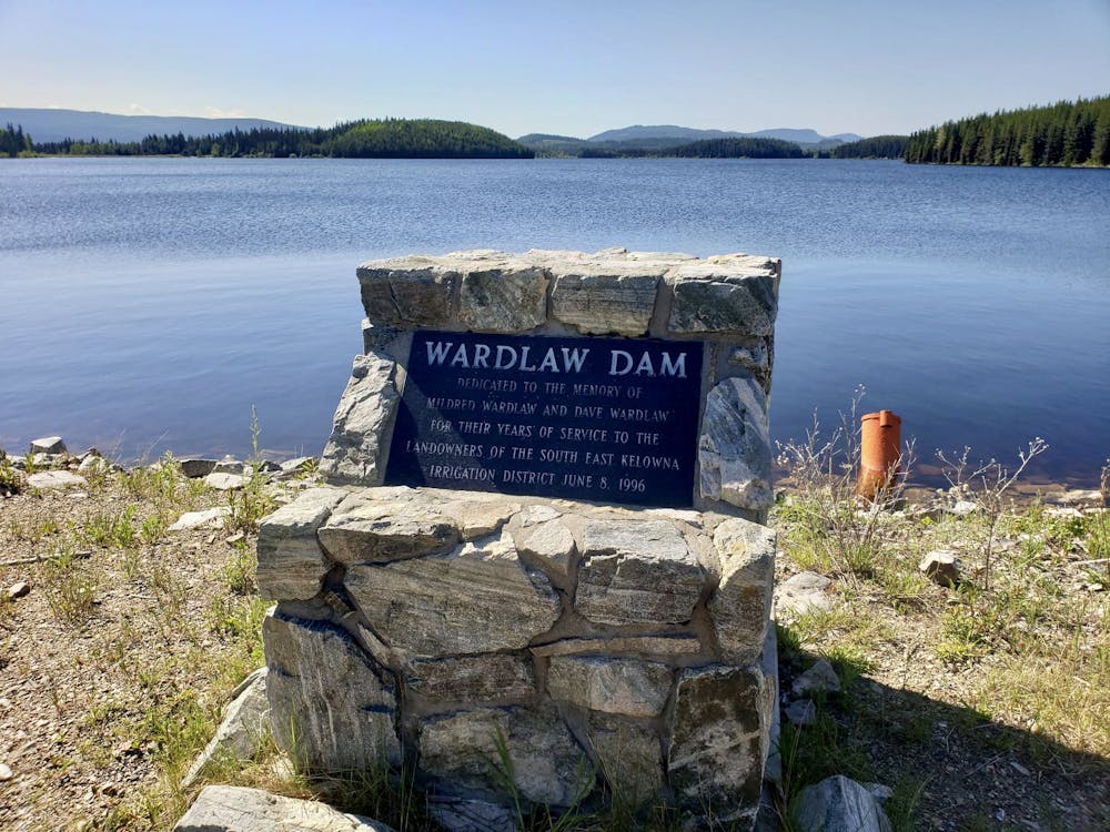
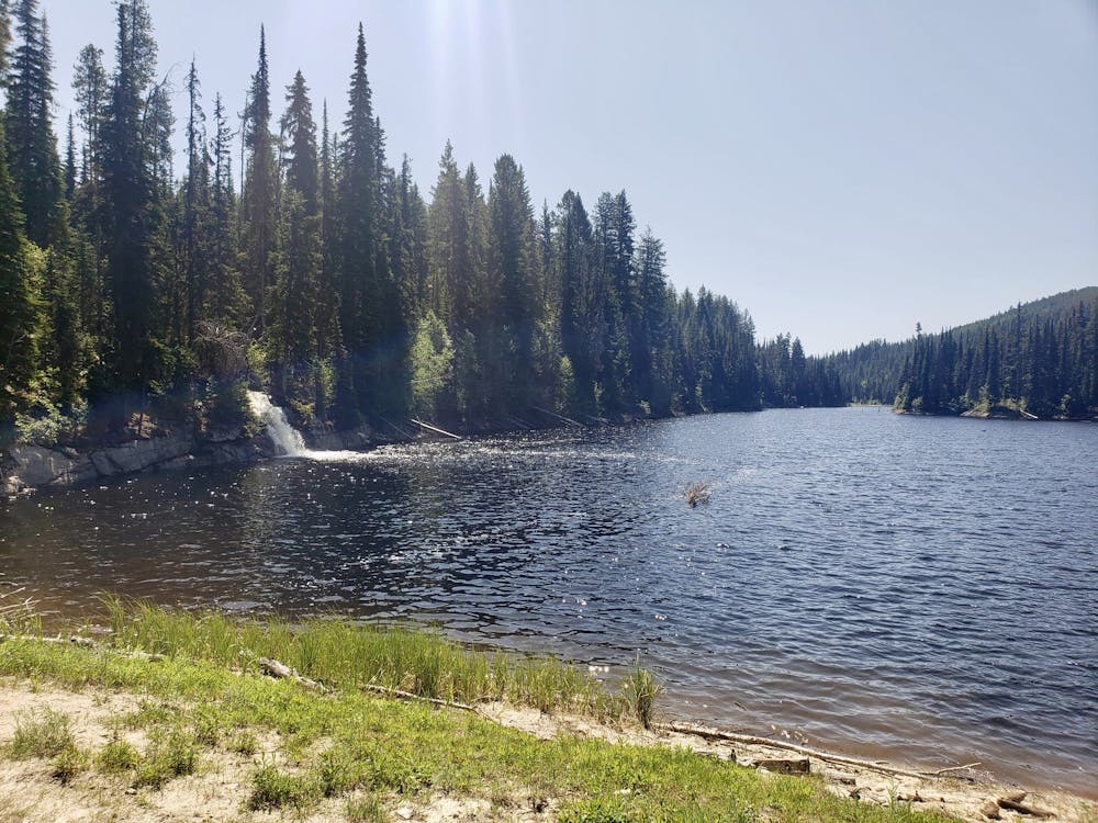
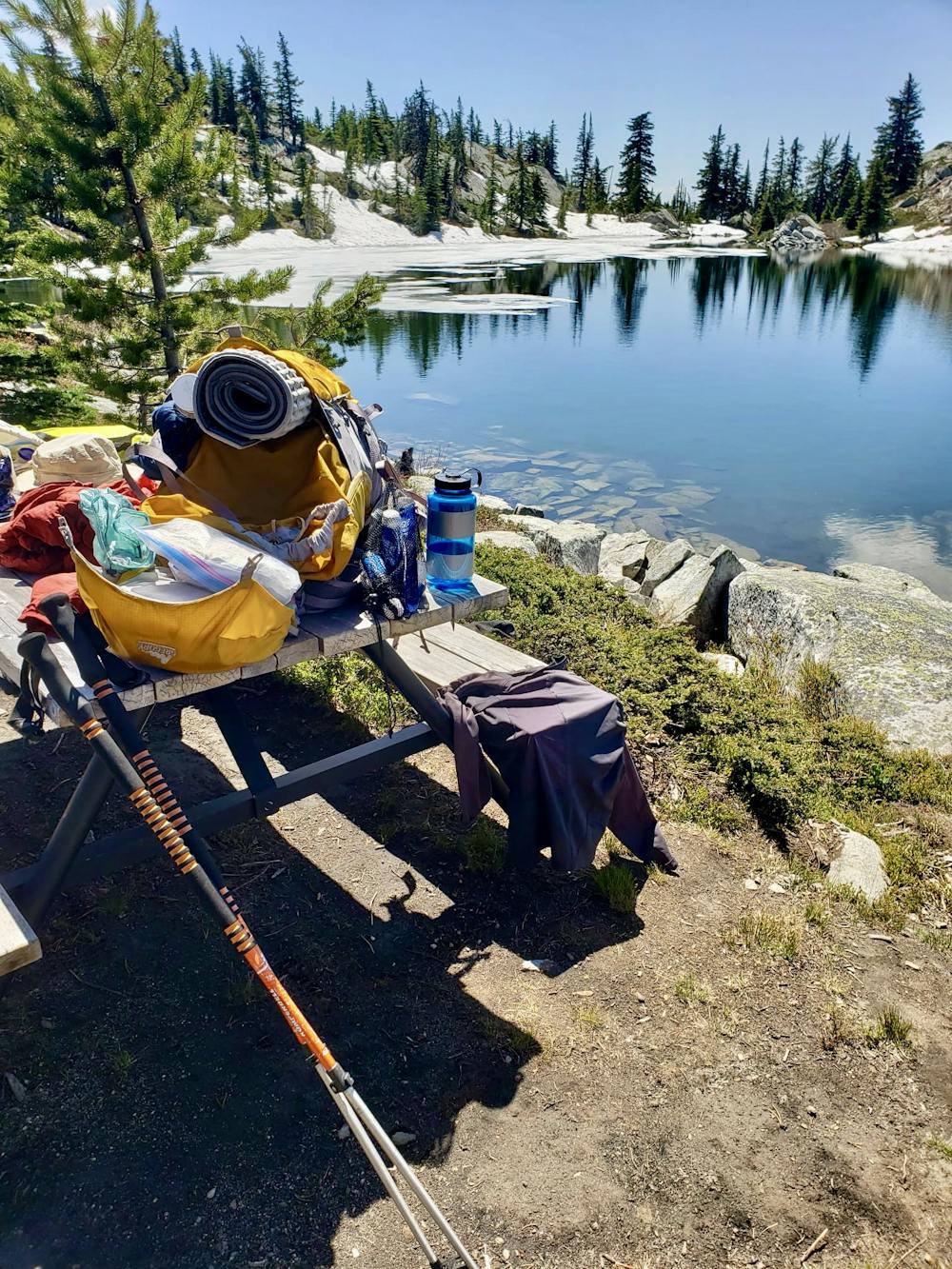
There are plenty of water sources on the trail (another contrast from the northern section!) but most of them are lakes or small streams, meaning that a water filter is essential. You should never have to do more than half a day without reaching some sort of water source and the best one of all is Crawford Lake - a beautiful spot just below the summit of Little White which has crystal clear water and a picnic bench to sit on.
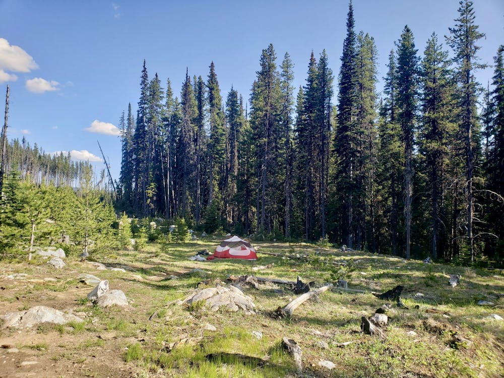
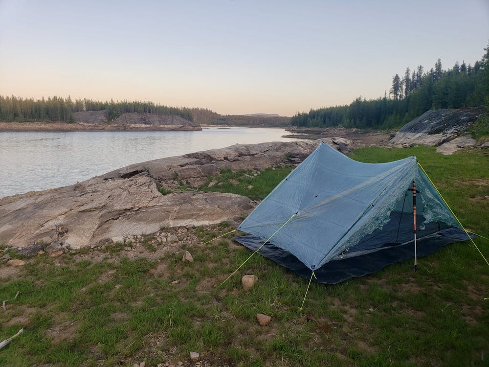
Finding campsites is also remarkably easy and there are plenty of ways to split up the route to fit your schedule. Most parties take 3 days to do the route and the rugged terrain makes it tough to do it in 2 days for all but the fittest and fastest of hikers. There are flat spots around every lake, and plenty of good forest campsites too (albeit very few with water supplies) so you're spoiled for choice when it comes to finding good camping spots.
In order to make the last day of reasonable length, it's advised to spend the second night next to Turtle Lake with the first night somewhere between Corporation and Crawford Lakes. Corporation Lake isn't really far enough to get to on day 1 if you're planning a 3 day trip, but Crawford Lake is a bit too far to reach on your first day, so stocking up with water at Corporation Lake and then hiking as far as you can in the forests and setting up amongst the trees south-west of Little White is a good first day strategy.
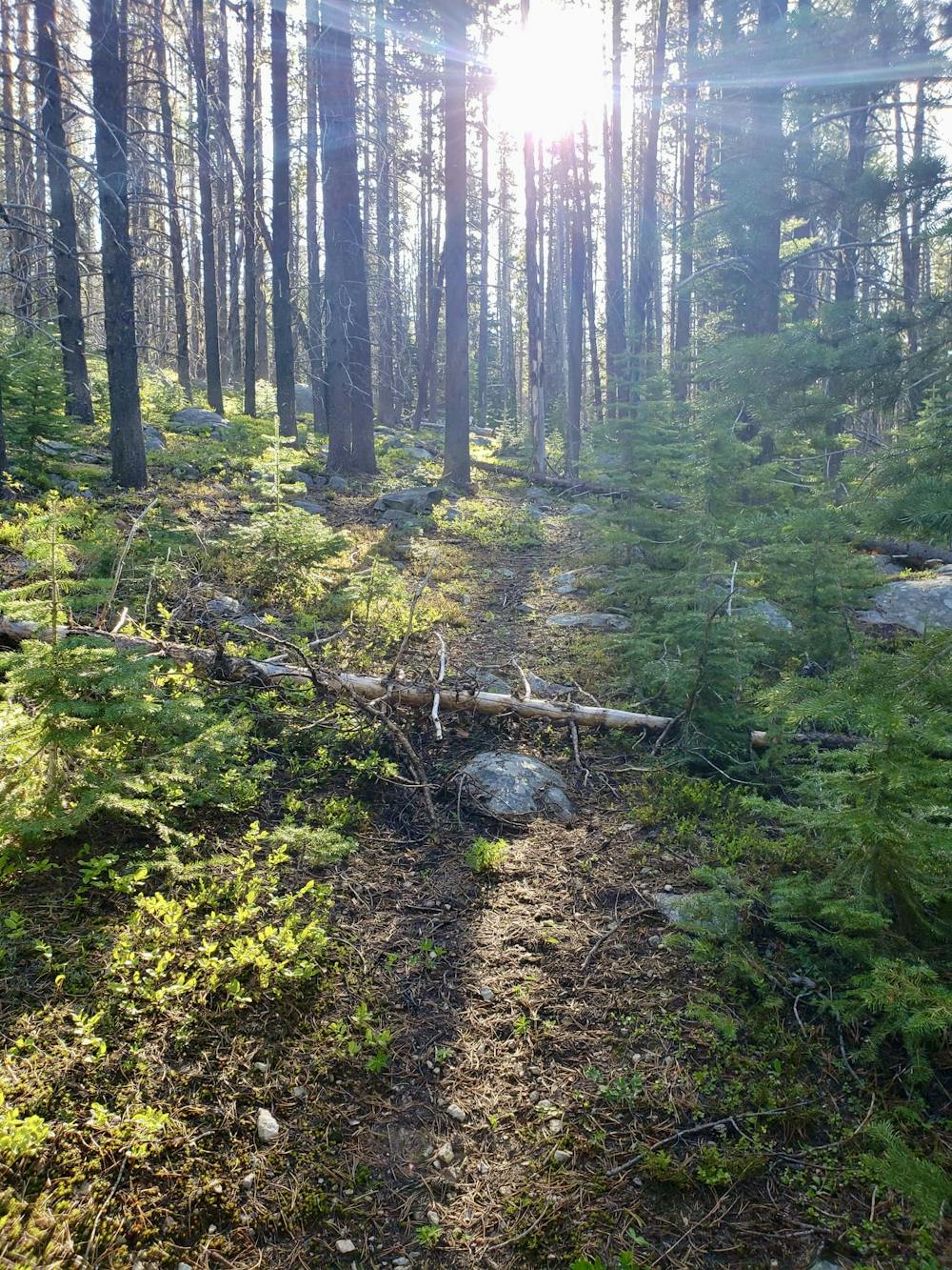
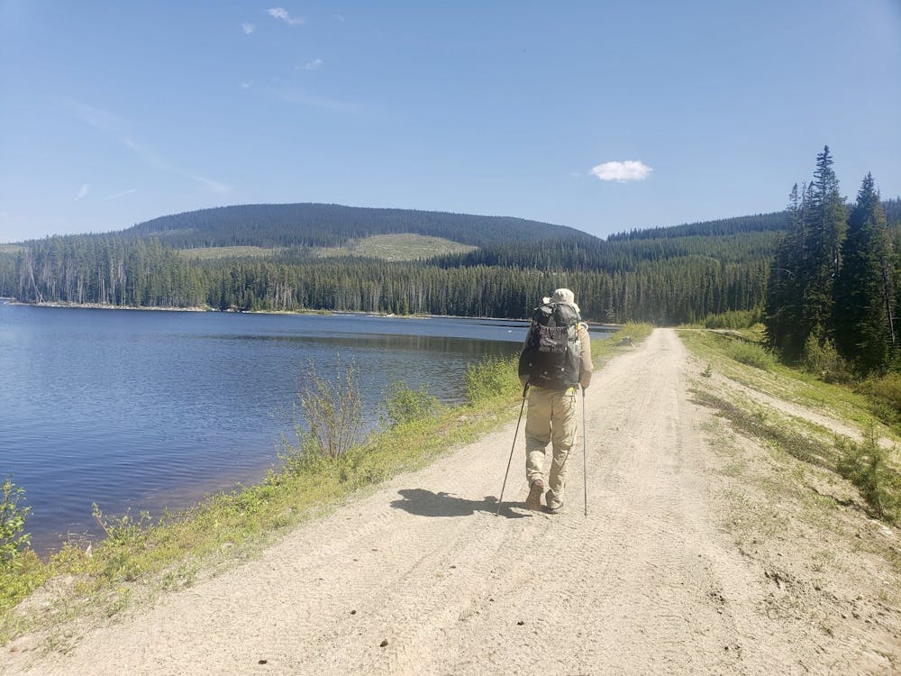
The trail starts at Chute Lake Lodge, which is accessible by car from Kelowna or Penticton. On the first part of the trail - up to the Little White summit slopes - you can expect some stunning lakes and endless miles of dense forest. The trail is generally pretty good but there are some sections which are really vague/non-existent, so follow our line and your intuition to make progress as efficient as possible.
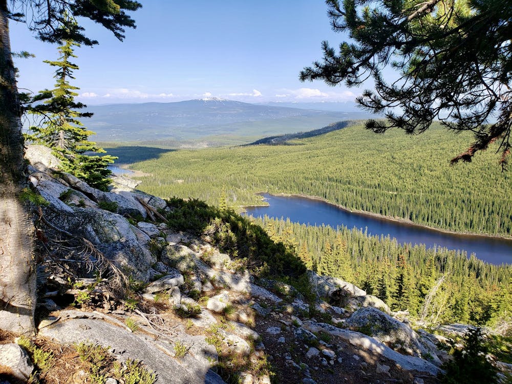
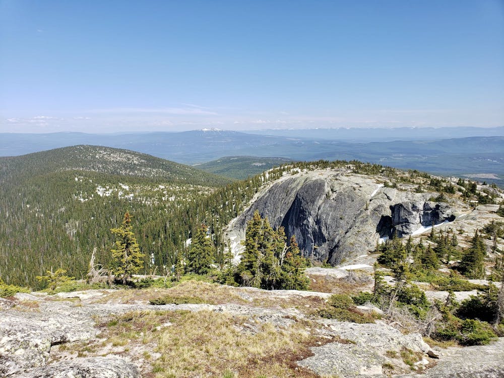
Once on the open slopes below Little White the trail really does disappear so just follow the line of least resistance to Crawford Lake and then the huge, rocky trail to the summit of Little White. The view from the top is utterly spectacular, with Big White ski area visible in the distance and Lake Okanagan laid out beneath you.
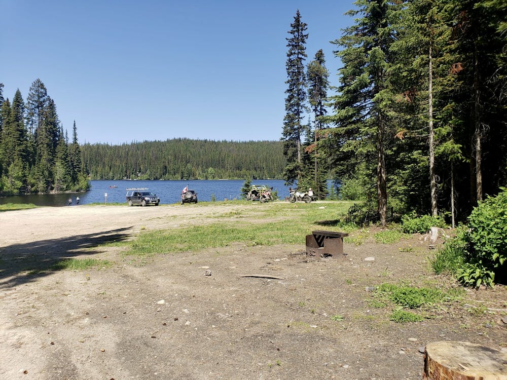
The trail from Little White to Canyon Lakes is also stunning and the huge vistas just keep on coming. Once down at Canyon Lakes there are some sections of forest roads interspersed with pleasant bits of trail leading to the wonderful Turtle Lake.
From Turtle Lake a long section of forest road leads to Hydraulic Lake - a good point from which to bail if you're running short on time. It's about 5 hours from Hydraulic Lake to Highway 33 so if you don't have enough time, try to organise a pick up or hitch a ride back to Kelowna from here - the area is usually busy with dirt bikers and ATV drivers so you should be able to get home somehow!
Leaving Hydraulic Lake behind there is a lovely trail following a winter snowshoe route to Browne Lake, and then a series of forest trails and roads which wind down to Mission Creek and then (assuming you've done your due dilligence and can cross the creek....) Highway 33.
If you're feeling really keen then get stuck straight into the northern section of the High Rim Trail
Difficulty
Moderate
Hiking along trails with some uneven terrain and small hills. Small rocks and roots may be present.
Medium Exposure

The trail contains some obstacles such as outcroppings and rock which could cause injury.
Remoteness

Little chance of being seen or helped in case of an accident.
Best time to visit
Features
- Wildlife
- Picturesque
- Summit Hike
- Water features
- Forestry or heavy vegetation