7 routes · Mountain Biking · Hiking
A tough climb leads to a wonderful viewpoint
Hiking Difficult

Perched just above the charming little village of Peachland, this is a great - and taxing - hike to one of the Okanagan's best viewpoints. The trip to the summit of Pincushion Mountain is tougher than it might look on the FATMAP statistics because it's steep and rocky, but it's not too long and should be attainable for most hikers.
Start out in the designated Pincushion Mountain parking lot just off Ponderosa Drive, and get stuck straight into some steep, wooden steps. The steps don't offer much of a warmup but the forest does at least provide some shade, and the steep section is relatively brief.
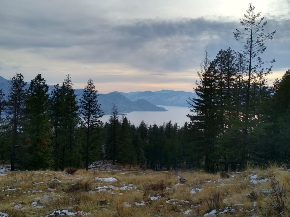
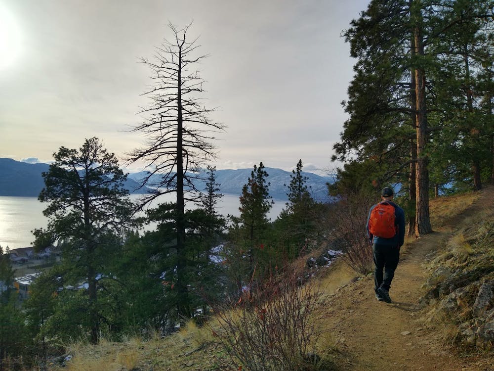
The views begin to really reveal themselves when you reach a 4 way path junction which you'll re-visit on the descent. Hang a left and begin the wonderful stroll up Pincushion Mountain's north ridge. There are some brief sections of very easy scrambling on the ridge but most of it is very enjoyable hiking with ever changing - and ever improving - views.
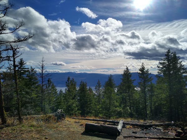
The summit of Pincushion Mountain itself is utterly spectacular and offers an epic vista across Okanagan Lake. The wild Okanagan Mountain Provincial Park looks wonderfully tempting right across the lake, and the higher peaks around Big White are also visible in the distance. To the south you'll see the lake bend around down towards Pentiction and - beyond that - the distant summits of Washington state.
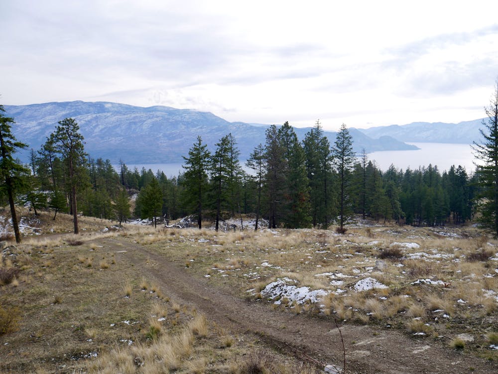
When you're done taking it all in, descend back to the 4 way junction and go straight over it to reach a path which winds down past the farms of Trepanier and back to the parking lot.
Difficult
Hiking trails where obstacles such as rocks or roots are prevalent. Some obstacles can require care to step over or around. At times, the trail can be worn and eroded. The grade of the trail is generally quite steep, and can often lead to strenuous hiking.

The trail contains some obstacles such as outcroppings and rock which could cause injury.
Away from help but easily accessed.
7 routes · Mountain Biking · Hiking