St. Leon falls
A nice little walk through the forest along the powerful St. Leon river.
Hiking Moderate
- Distance
- 2.4 km
- Ascent
- 72 m
- Descent
- 72 m
- Duration
- 0-1 hrs
- Low Point
- 464 m
- High Point
- 536 m
- Gradient
- 3˚

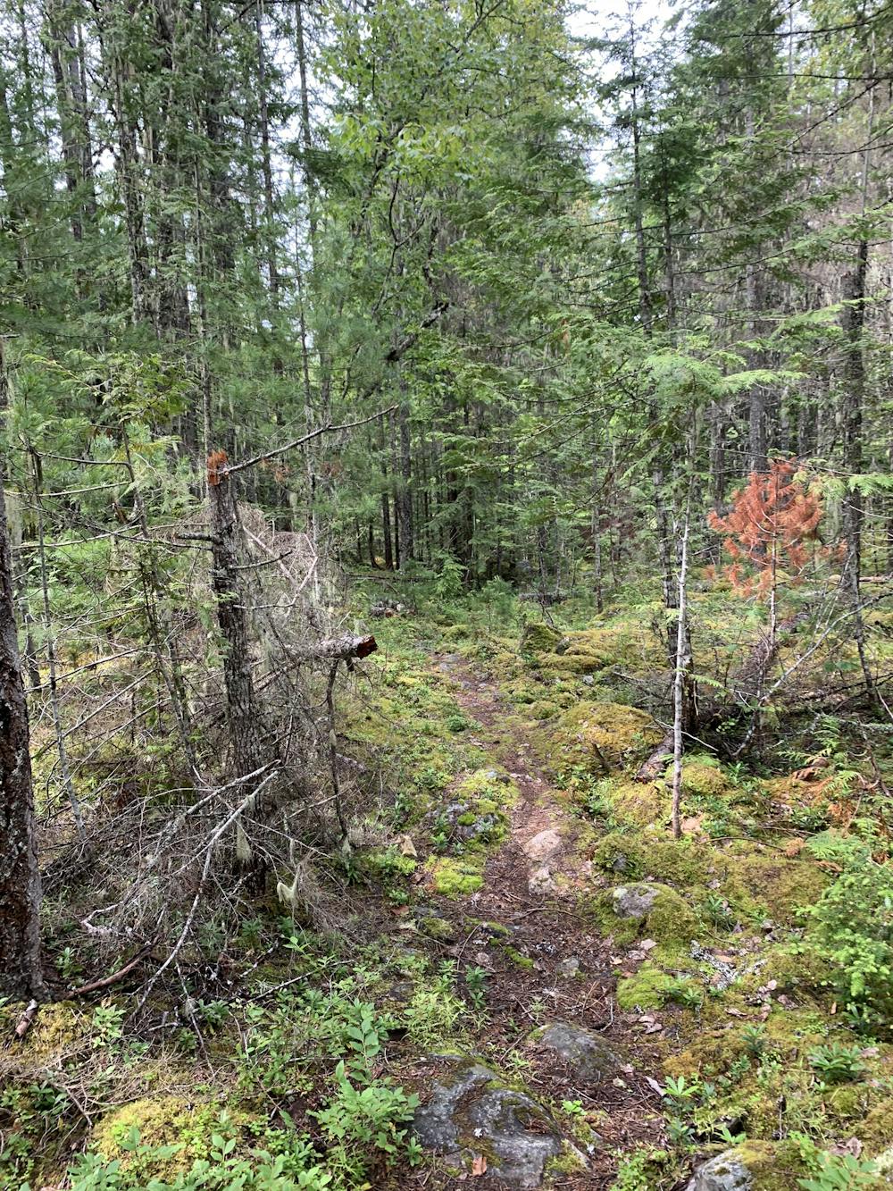
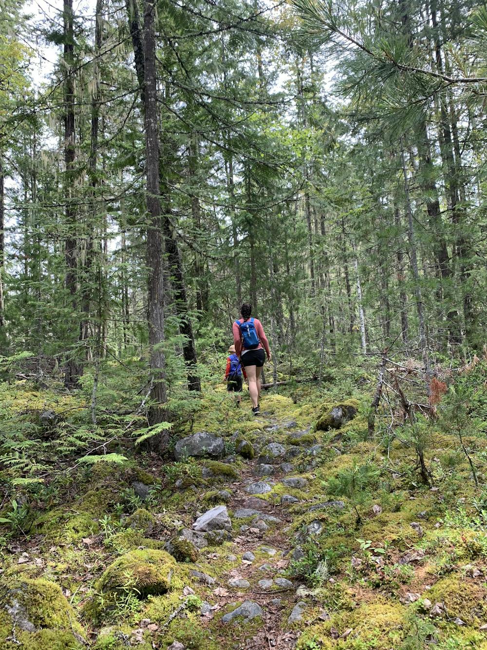
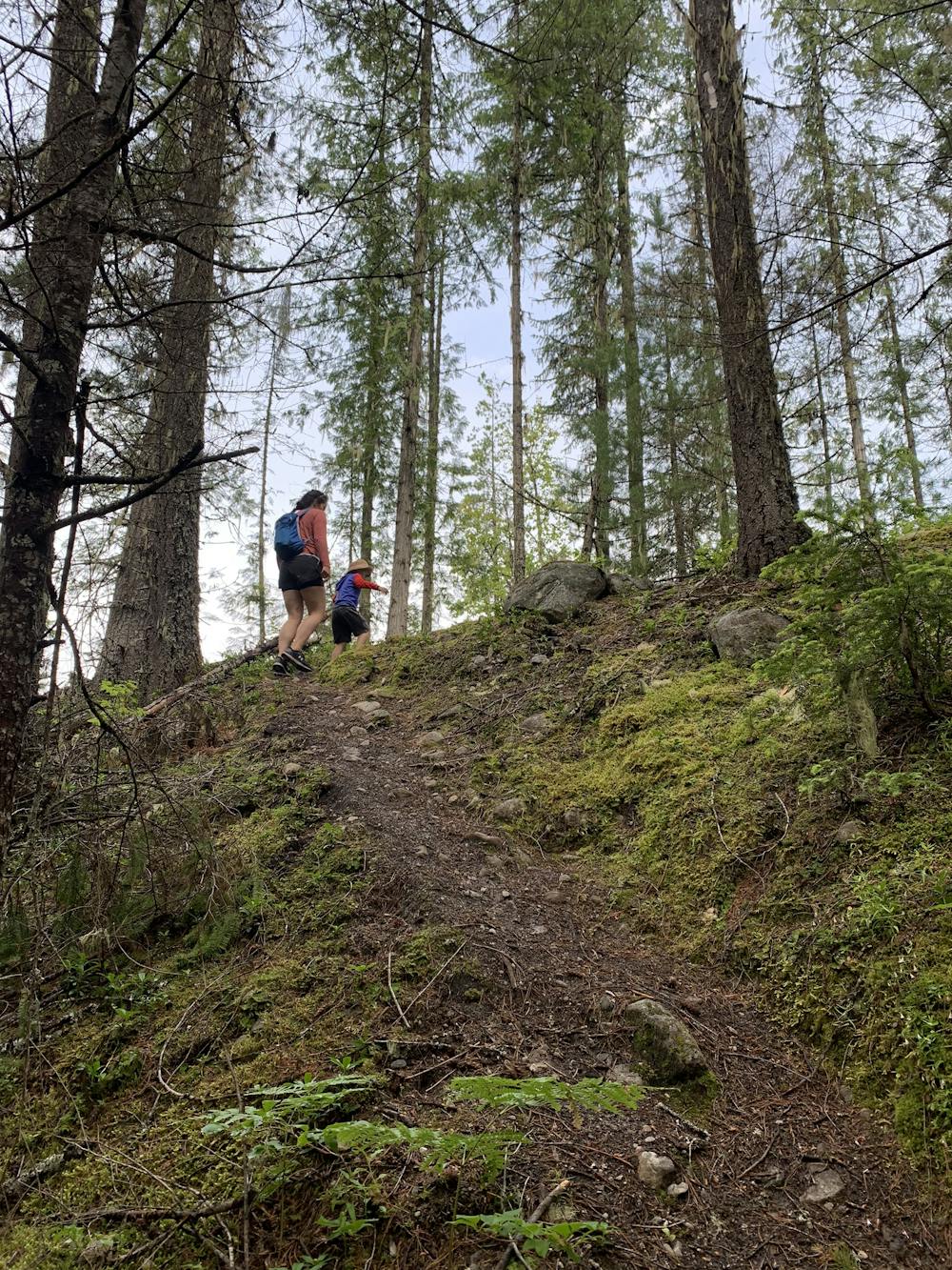
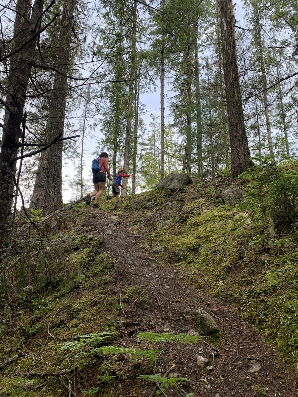
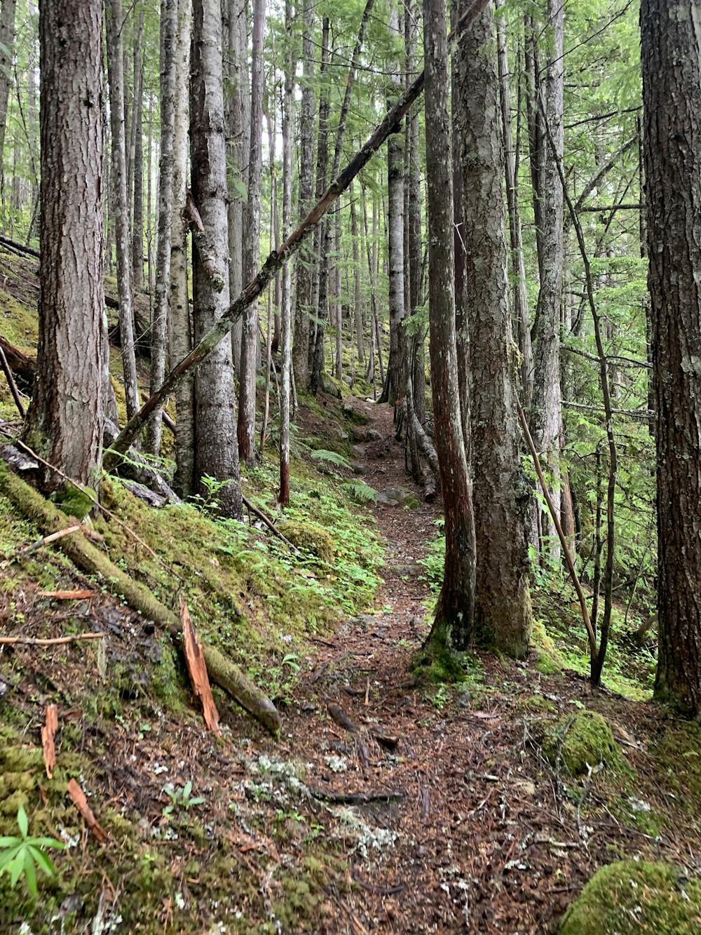
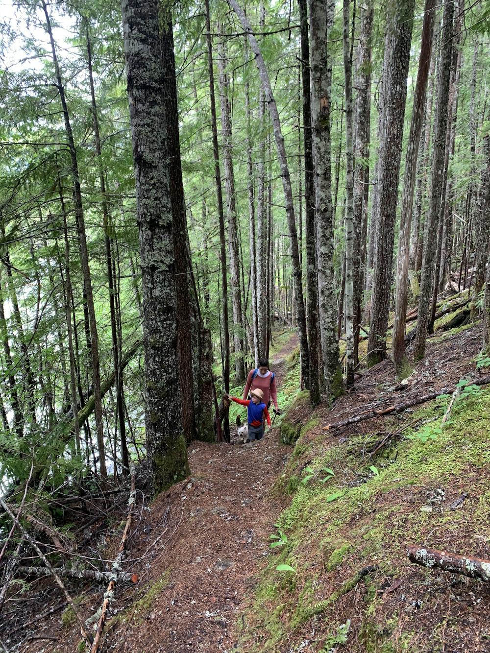
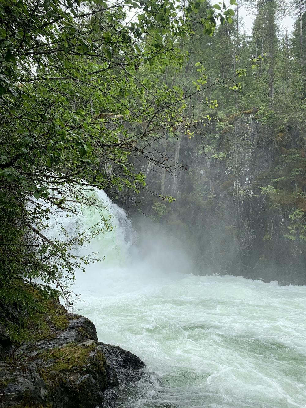
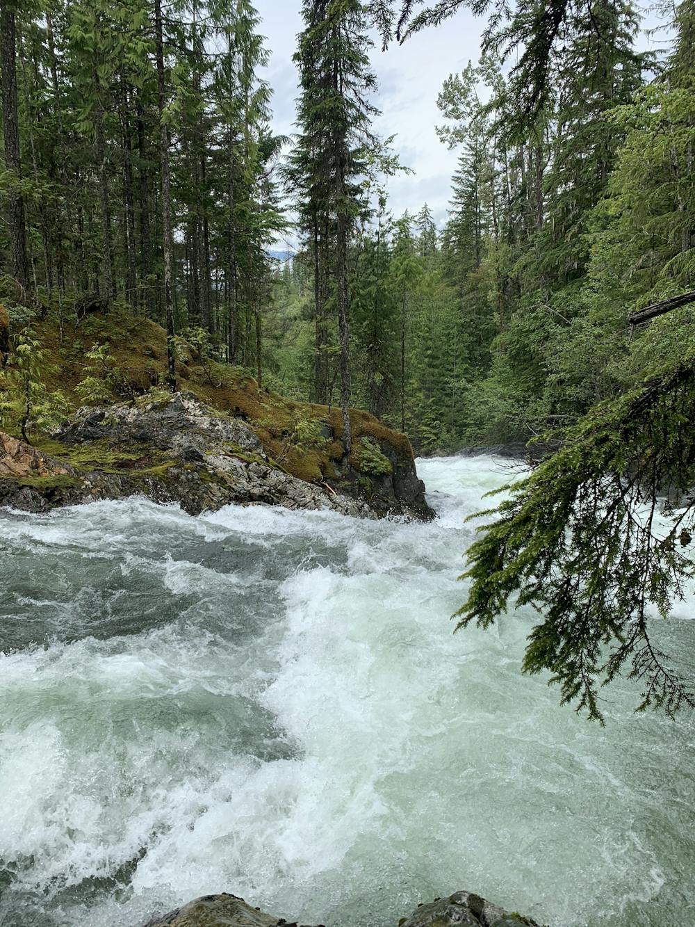
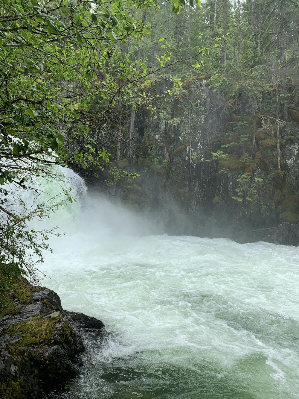
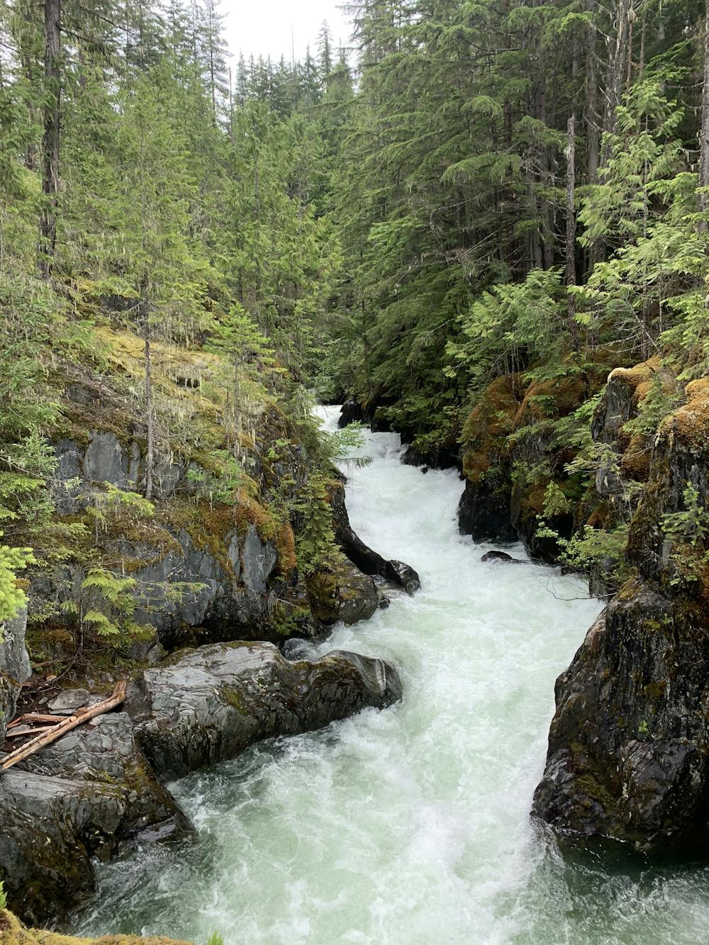
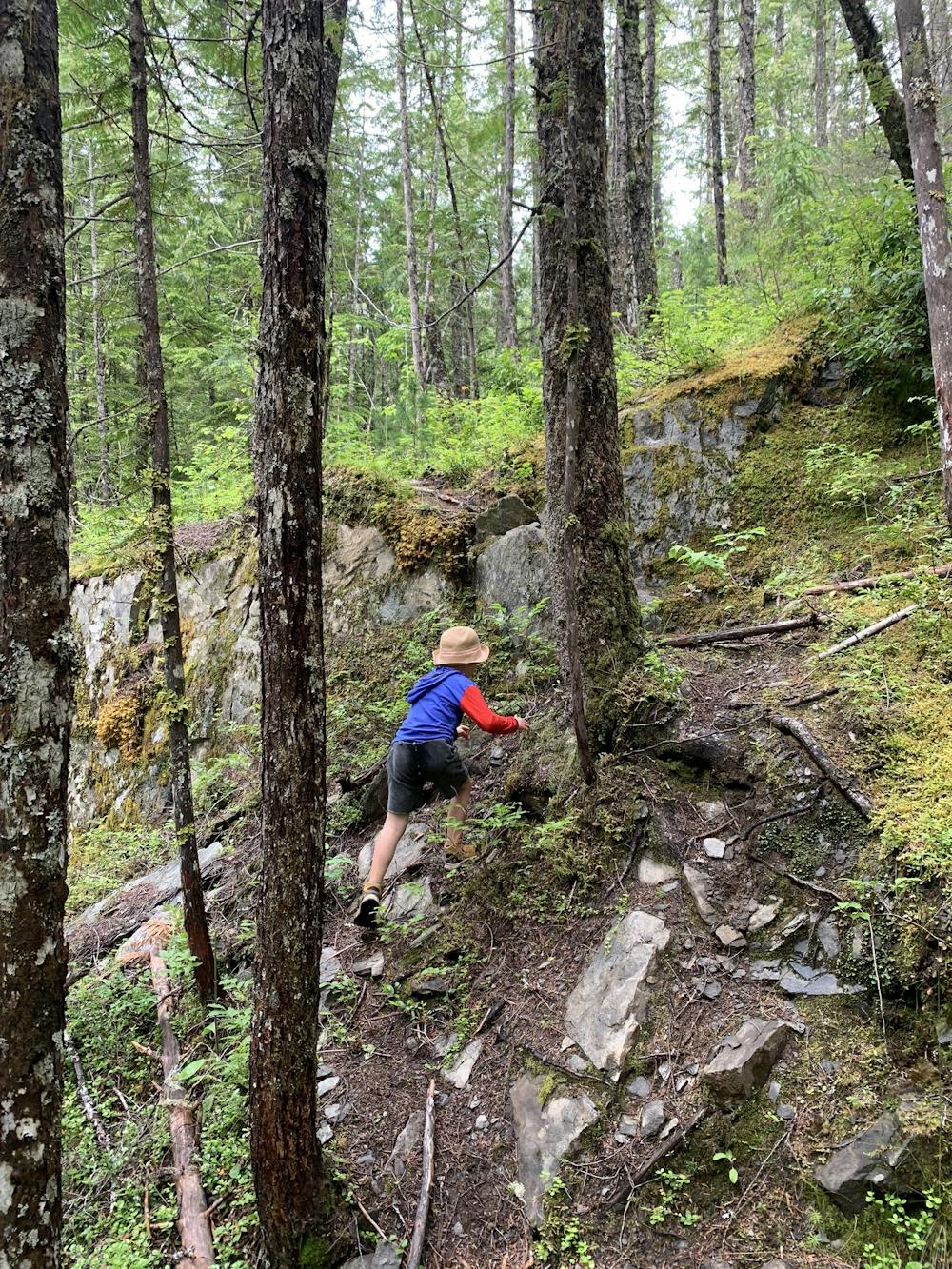
Once you get on the trail you are all set. The trail goes through the beautiful B.C. forests and along the St. Leon river. You can hear the power of the river and moments later you can hear and see the powerful canyon with the St. Leon waterfalls. There are numerous spots to view the river and if you are lucky you can see kayakers running the 25ft waterfall. There are some steep parts but the path is very clear and obvious.
- •
- •
- •
- •
- •
- •
- •
- •
- •
- •
- •
Difficulty
Moderate
Hiking along trails with some uneven terrain and small hills. Small rocks and roots may be present.
High Exposure

Some trail sections have exposed ledges or steep ascents/descents where falling could cause serious injury.
Remoteness

Away from help but easily accessed.
Best time to visit
Features
- Wildlife
- Picturesque
- Dog friendly
- Water features
- Family friendly
- Forestry or heavy vegetation