Tenquille Mountain
Tricky route finding, and pleasant scrambling on Tenquille's namesake peak
Hiking Severe
- Distance
- 23 km
- Ascent
- 2.2 km
- Descent
- 2.2 km
- Duration
- 1 day +
- Low Point
- 241 m
- High Point
- 2.4 km
- Gradient
- 27˚

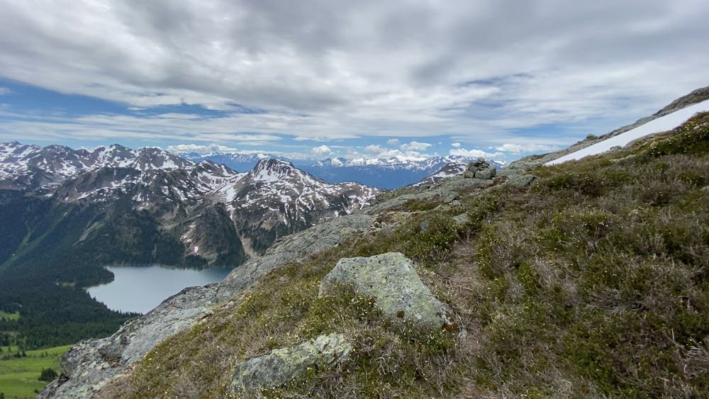
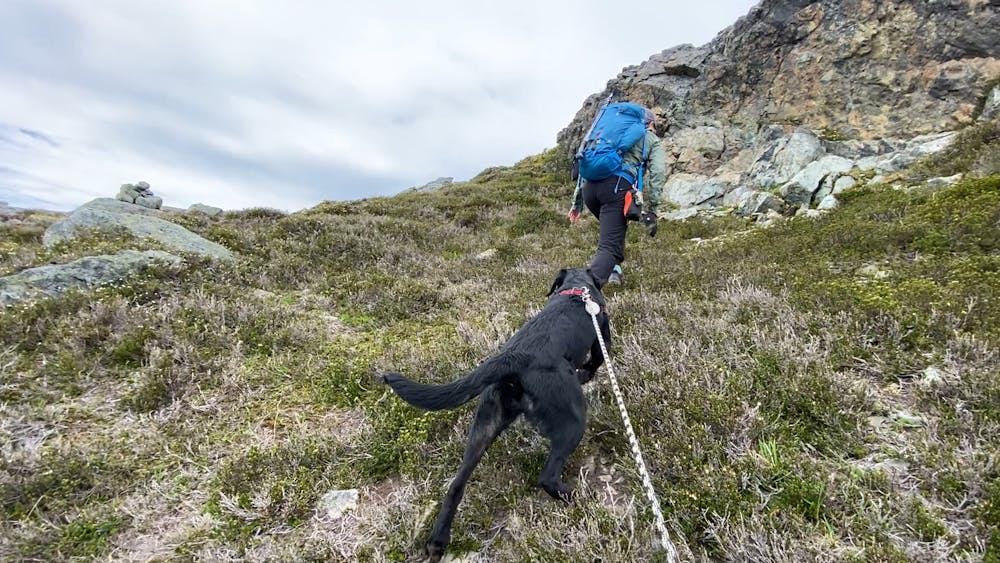
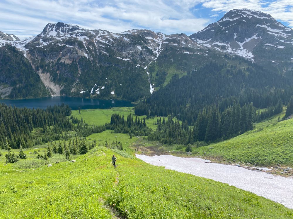
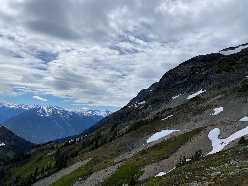
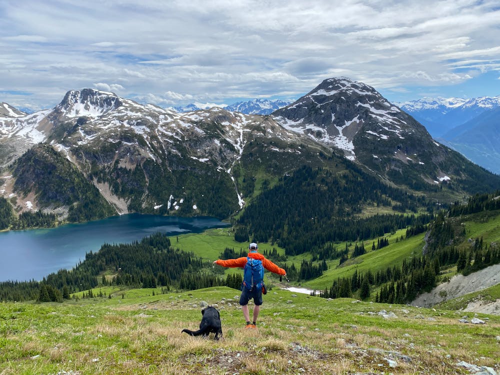
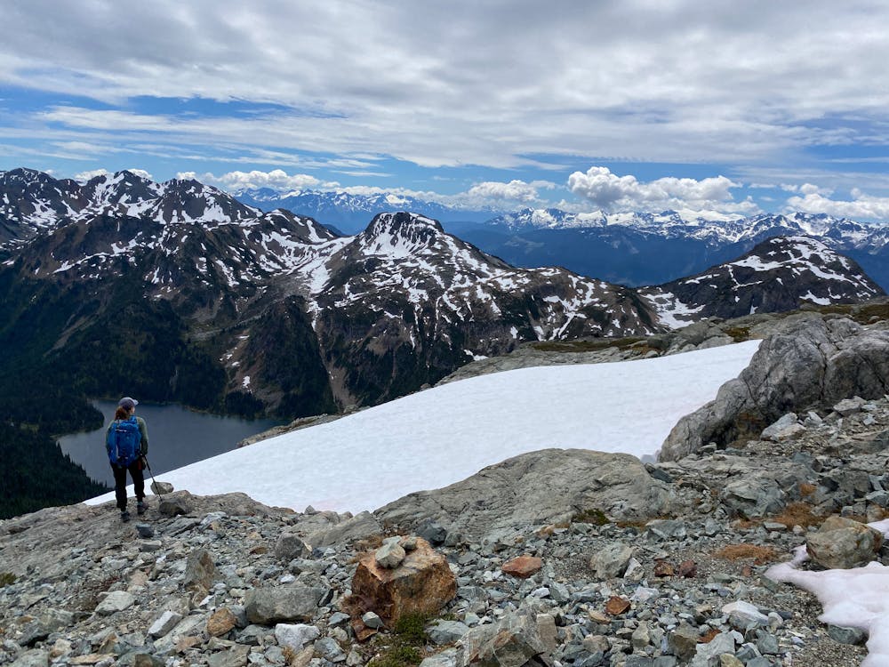
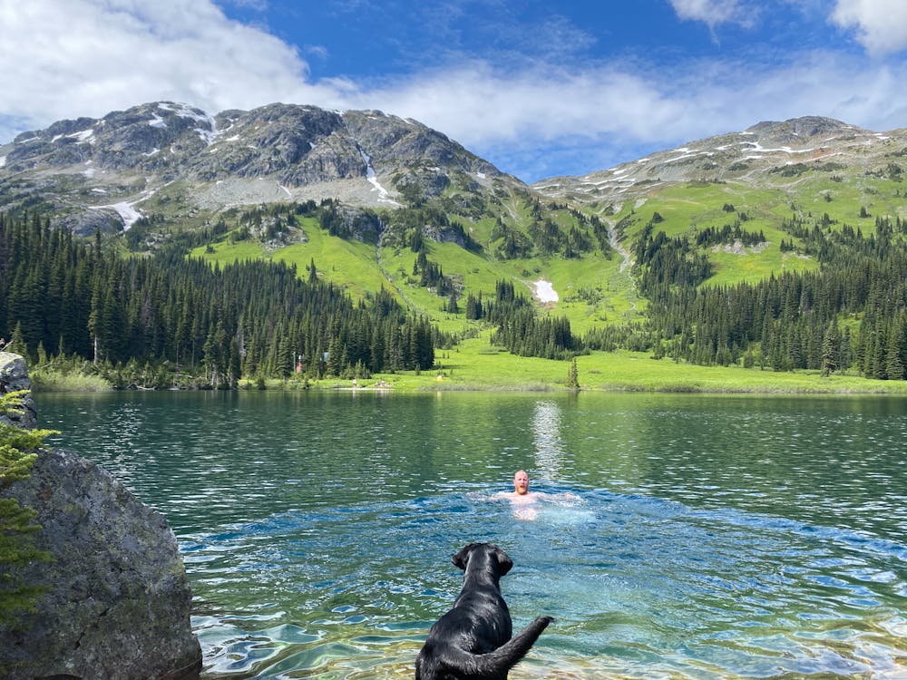
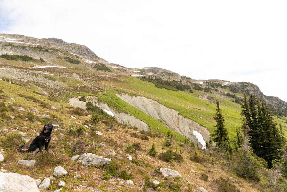
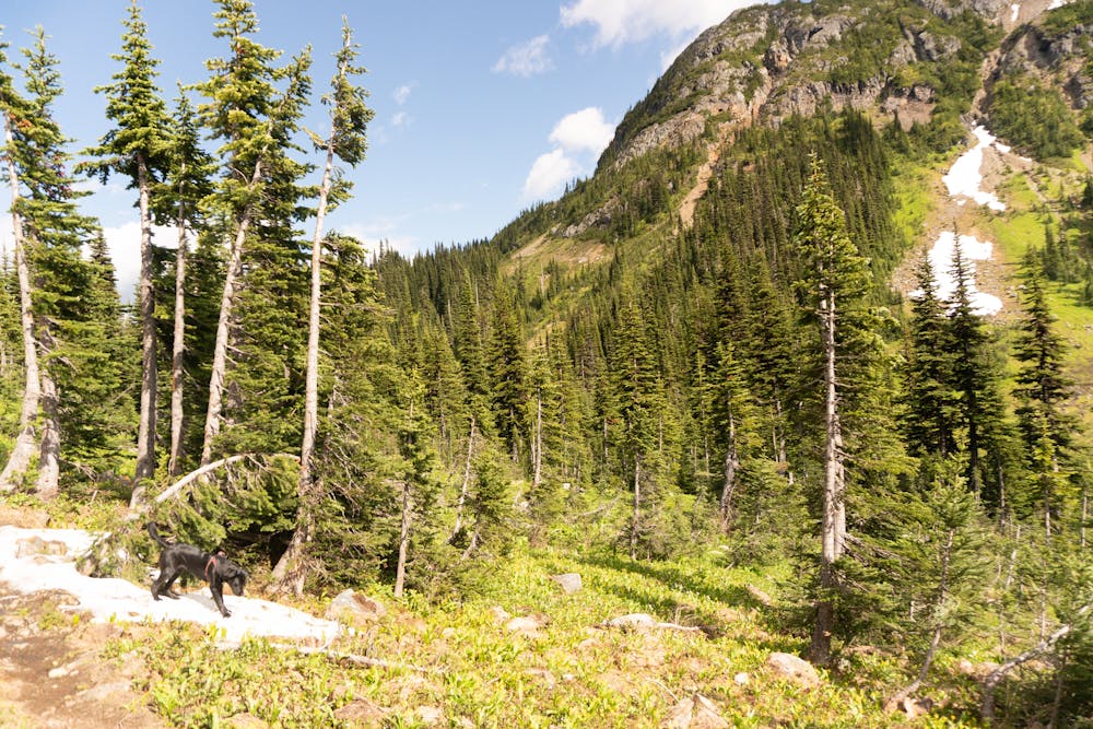
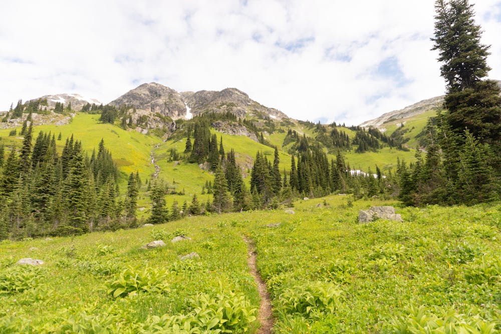
Tenquille Lake is a popular hiking and technical mountain biking destination. The hut, and spectacular lake make for gorgeous views. For the scrambler, the area offers several excellent peaks. Tenquille as the name sake is a descent scramble with some hard 3rd class sections that require a few hours of slogging up very steep alpine scrub, silt and scree with little to no trail.
- •
- •
- •
- •
- •
- •
- •
- •
- •
- •
- •
- •
Description
Trailheads are at either Branch 12, which skips some of the elevation gain. But it requires at least AWD and descent clearance. Subaru Forester or Crosstrex would be the minimum
Difficulty
Severe
Hiking challenging trails where simple scrambling, with the occasional use of the hands, is a distinct possibility. The trails are often filled with all manner of obstacles both small and large, and the hills are very steep. Obstacles and challenges are often unexpected and can be unpredictable.
High Exposure

Some trail sections have exposed ledges or steep ascents/descents where falling could cause serious injury.
Remoteness
Little chance of being seen or helped in case of an accident.
Best time to visit
Features
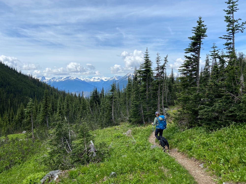
- Alpine
- Wildlife
- Picturesque
- Summit Hike
- Wild flowers
- Water features
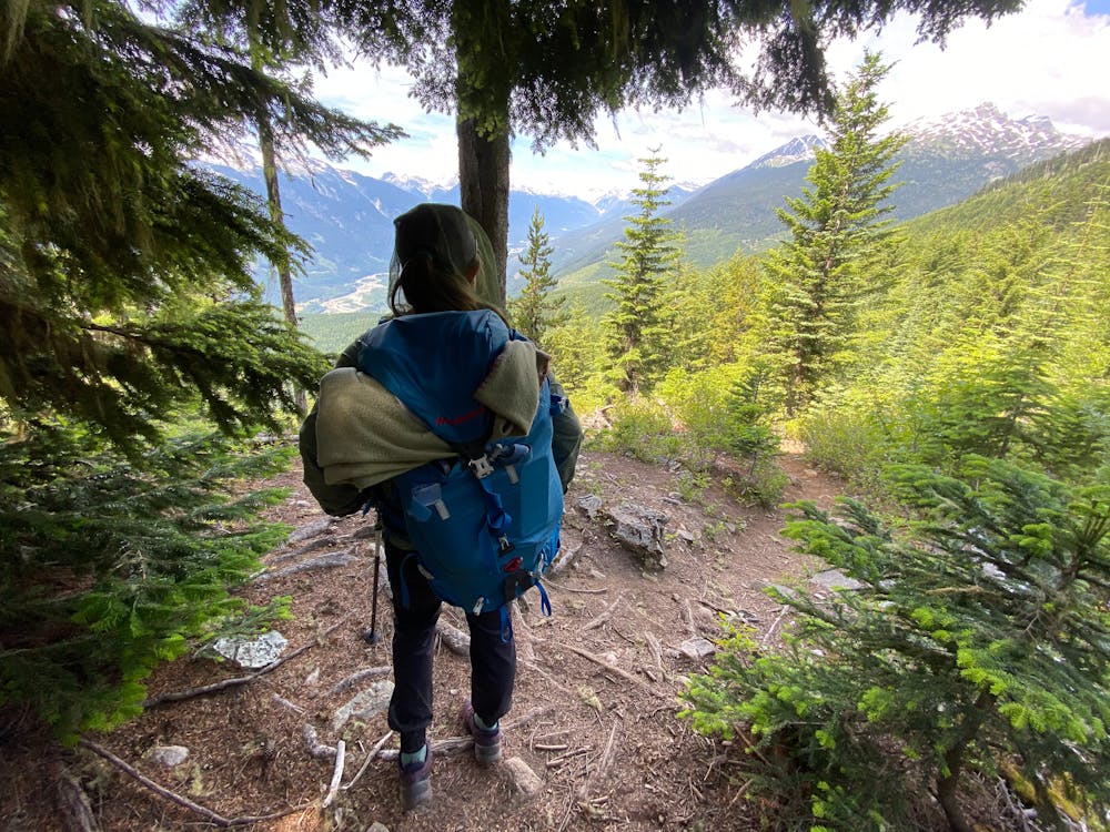
- Forestry or heavy vegetation