5.6 km away
Watersprite Lake Hike
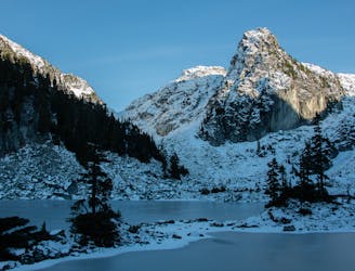
Excellent views, easy trail navigation
Moderate Hiking
- Distance
- 8.3 km
- Ascent
- 700 m
- Descent
- 44 m
Winter access to water sprite lake hut
Hiking Difficult
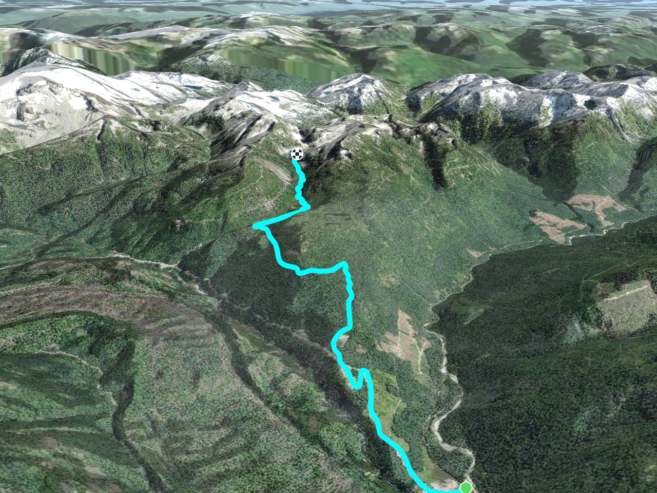
This is a popular hiking route which is generally considered to be difficult. It's remote, it features medium exposure and is typically done in January, March, May, July, August, September, November and December. From a low point of 469 m to the maximum altitude of 1.5 km, the route covers 10 km, 1012 vertical metres of ascent and 28 vertical metres of descent.
Simple yet entertaining approach with beautiful landscapes and really well maintained hut/cabin available through BCMC for $20 a head.
Difficult
Hiking trails where obstacles such as rocks or roots are prevalent. Some obstacles can require care to step over or around. At times, the trail can be worn and eroded. The grade of the trail is generally quite steep, and can often lead to strenuous hiking.

The trail contains some obstacles such as outcroppings and rock which could cause injury.
Away from help but easily accessed.
5.6 km away
Excellent views, easy trail navigation
Moderate Hiking

6 routes · Hiking