9.4 km away
West Coast Trail Day 1
The start of an epic adventure on the world famous West Coast Trail
Moderate Hiking
- Distance
- 14 km
- Ascent
- 394 m
- Descent
- 413 m
The day that has everything, beaches, ladders, cable cars & waterfalls; you see it all on this part of the trail.
Hiking Difficult

Day 2 on the trail is a relatively short day, but has a really good variation of terrain as you make your way to the spectacular Tsusiat Falls.
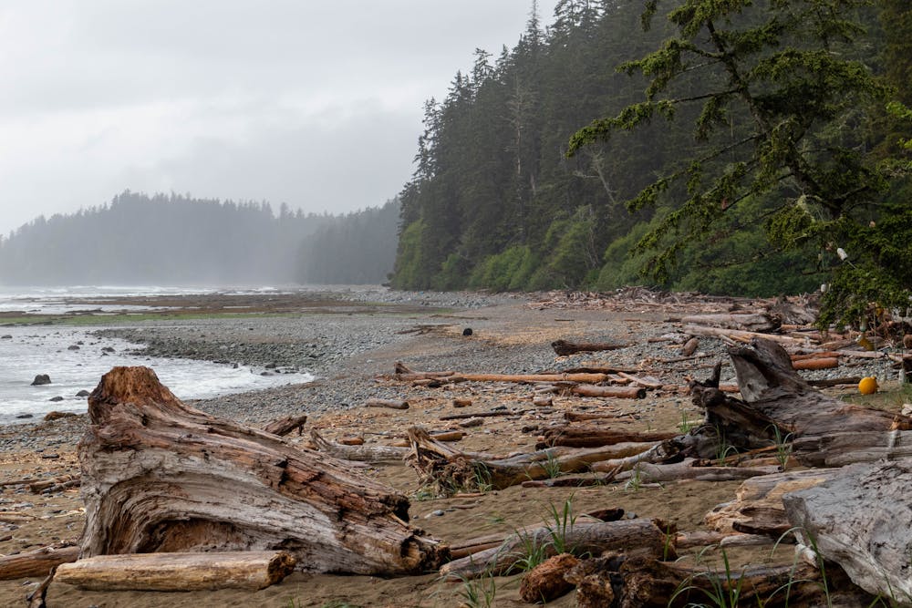
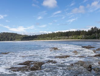
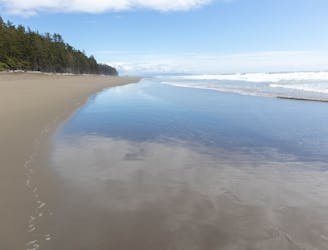
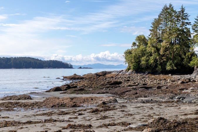
The first few kilometres of the trail are very enjoyable as you hike along the beach, this is a good place to try to spot some wildlife before you head to the inland section.
The inland sections are well maintained, but not as scenic as hiking along the beach. There are some great viewpoints along the way though and also a derelict donkey engine that offers an insight into the history of this trail.
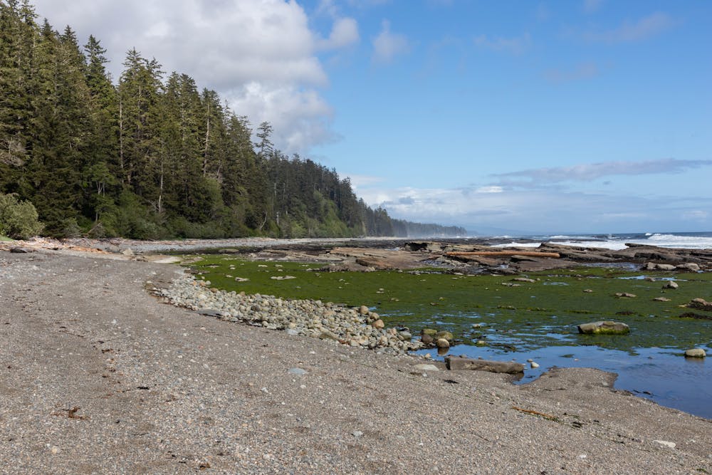
You will soon find yourself back on the beach as you head towards the Klanawa River camp, this is another really scenic coastal section that eventually leads you to the first cable car crossing of the trip.
The cable cars on the West Coast Trail (WCT) are a really fun experience, it's a good upper body workout to pull yourself across. They can however, be quite difficult to operate as a solo traveller, as there is no way to hold the car in place while you get inside.
There is another short inland section following the cable car. The forest here is a little more dense which makes for a narrower trail, you also have some ladders to climb up as you gain in elevation.
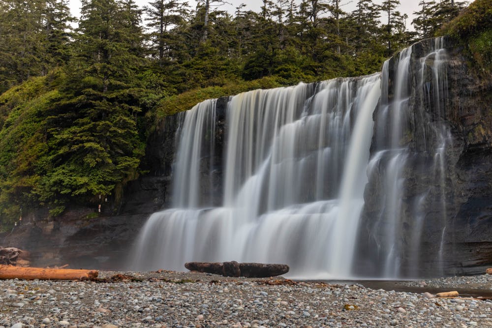
The trail down to the campground involves negotiating lots of ladders, but once you make it down to the beach, you get to see the spectacular Tsusiat Falls.
This is one of the best campgrounds on the WCT, for that reason it can also be quite busy here, so arrive early to get a good spot.
You can camp on both sides of Tsusiat Falls, but you will have to ford the creek to get over to the west side of the beach.
Difficult
Hiking trails where obstacles such as rocks or roots are prevalent. Some obstacles can require care to step over or around. At times, the trail can be worn and eroded. The grade of the trail is generally quite steep, and can often lead to strenuous hiking.

The trail contains some obstacles such as outcroppings and rock which could cause injury.
Away from help but easily accessed.
9.4 km away
The start of an epic adventure on the world famous West Coast Trail
Moderate Hiking
9.9 km away
A long day with beautiful beaches and the opportunity to get some awesome food at the Crab shack.
Moderate Hiking
7 routes · Hiking