BCBR 2023 Stage 6 Campbell River
Vancouver Island
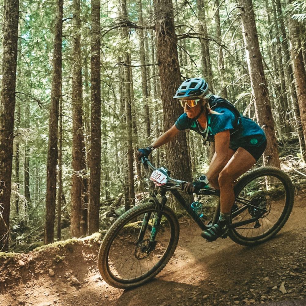
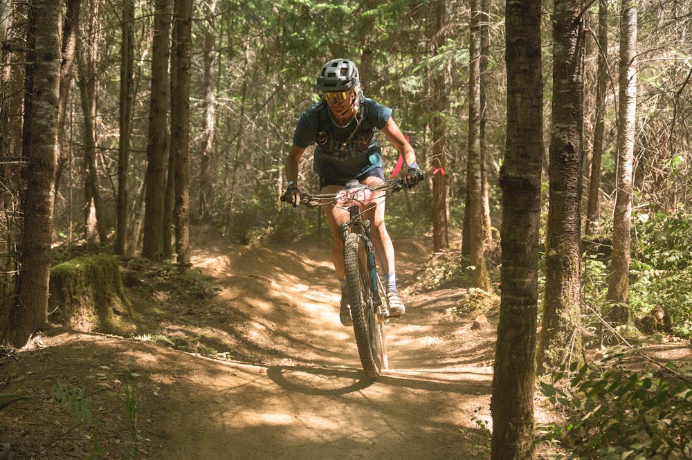
Lakes galore are the hallmark of this stunning trail system.
Mountain Biking Moderate
- Distance
- 46 km
- Ascent
- 1.1 km
- Descent
- 1 km
- Duration
- 4-5 hrs
- Low Point
- 95 m
- High Point
- 278 m
- Gradient
- 5˚

This is a popular mountain biking route which is generally considered to be moderate. It's not remote, it features low exposure and is typically done between April and October. From a low point of 95 m to the maximum altitude of 278 m, the route covers 46 km, 1050 vertical metres of ascent and 1048 vertical metres of descent.
- •
- •
Description
Lakes galore are the hallmark of this stunning trail system.
Difficulty
Moderate
Mostly stable trail tread with some variability, with unavoidable obstacles 8in/20cm tall or less. Other obstacles such as rock gullies and steep sections may exist. Ideal for lower intermediate riders.
Low Exposure

The path is on completely flat land and potential injury is limited to falling over.
Remoteness
Close to help in case of emergency.
Best time to visit
Features
- Flow
- Picturesque
- Singletrack
- In the forest
- Road sections
- Roots
- Wooden Feature