Bear Creek to Mount Hayman and McDougall Rim
A scenic trip over a beautifully positioned peak
Mountain Biking Difficult
- Distance
- 21 km
- Ascent
- 678 m
- Descent
- 934 m
- Duration
- 1-2 hrs
- Low Point
- 647 m
- High Point
- 1.4 km
- Gradient
- 9˚

If you're looking for a more interesting way up and over Mount Hayman than the standard route from West Kelowna, this could be the trip for you. It demands a bit of planning because it's linear (and therefore requires you to access the trailhead) but if you can secure a ride in a vehicle to the start of the trail, it's a wonderful journey. One option is to bike up to the start point marked here on the Bear Creek Fire Service Road (FSR) but it's a tough and tedious slog! Getting dropped off is definitely preferable.

- •
- •
- •
Description
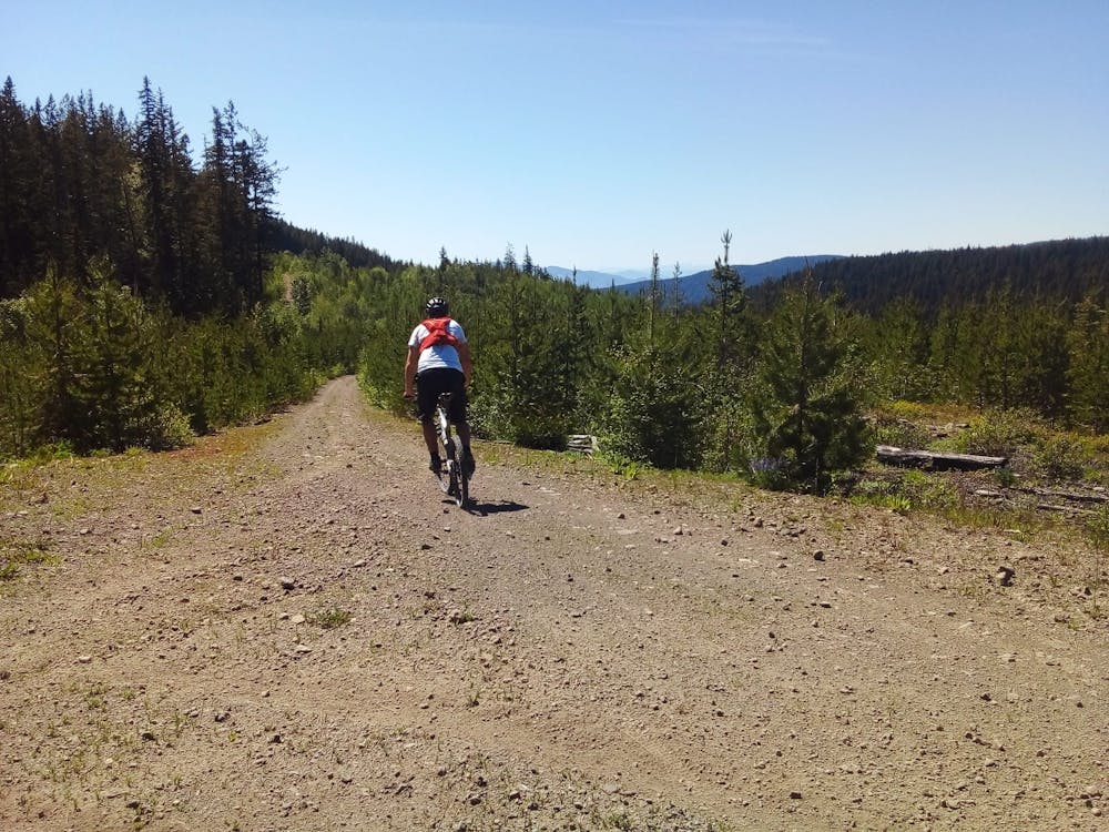
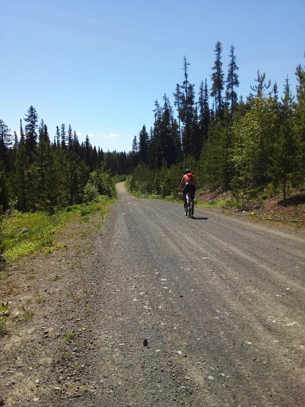
Once you get to the start point begin by riding up the FSR which leads south up towards Mount Hayman. You do most of the height gain on this FSR so although it's not overly interesting, it is efficient - and the scenery only gets better as you climb.
Gradually the peaks of the Okanagan all loom into view, and on a clear day you'll be able to see the snowy summits of the Monashees in the distance, and even the northern part of Washington's Cascades. The FSR eventually gives way to a series of smaller trails which enter the forest close to the summit of Mount Hayman itself.
The trail leads onto the long, undulating and rounded ridge to the north of Mount Hayman. Ride along this all the way to the small metal building which marks the summit of the peak. From here on out, it's fun all the way!
Winding through trees and linking a series of clearings - all of which provide huge views across Rose Valley Lake and the Okanagan Valley - the descent trail is always interesting without ever being overly difficult. Much of it is wonderfully flowy and the technical sections are usually pretty brief. Keep on charging all the way down to the parking lot!
Once down in West Kelowna there are plenty of options for replenishing the calories you'll have burned!
Difficulty
Difficult
Mostly stable trail tread with some variability featuring larger and more unavoidable obstacles that may include, but not be limited to: bigger stones, roots, steps, and narrow curves. Compared to lower intermediate, technical difficulty is more advanced and grades of slopes are steeper. Ideal for upper intermediate riders.
Medium Exposure

The trail contains some obstacles such as outcroppings and rock which could cause injury.
Remoteness

Little chance of being seen or helped in case of an accident.
Best time to visit
Features
- Technical
- Picturesque
- Singletrack
- In the forest
- Roots
- Rock Rolls
- Rock Slabs
- Rock Gardens