7 km away
Billy Epic Loop

An isolated old school descent shared with trials motos.
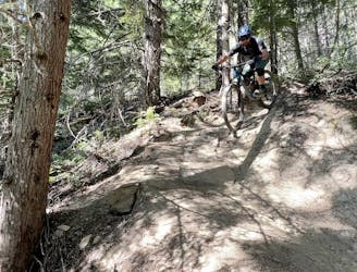
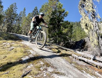
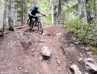
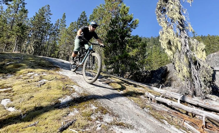
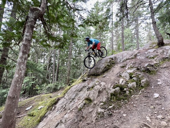
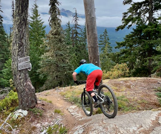
Severe Mountain Biking
- Distance
- 4.7 km
- Ascent
- 345 m
- Descent
- 345 m
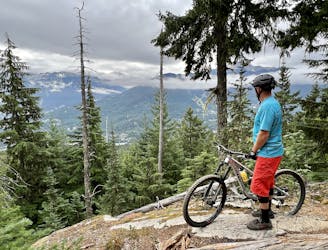
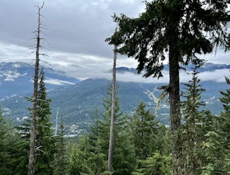
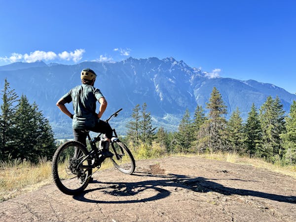
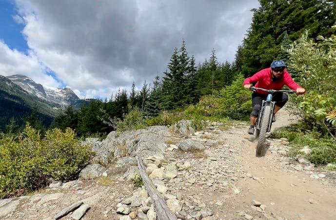
A high mountain trail ride to a remote alpine lake you can swim in.
Mountain Biking Moderate

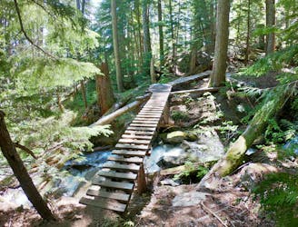
The Ninja Lake Loop offers a stunning high mountain ride through alpine terrain just north and west of Gin Peak. A hidden alpine lake makes for a great summer swimming hole, and much of the circuit is above the tree line in alpine terrain. The ride is moderate overall and a great way to escape other crowded areas.
This XC ride is best accessed from the Rainbow/Madeley Lake Trail, riding in from Alta Lake Road.
Moderate
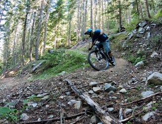
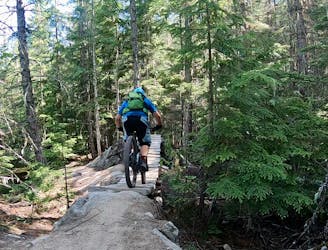
Mostly stable trail tread with some variability, with unavoidable obstacles 8in/20cm tall or less. Other obstacles such as rock gullies and steep sections may exist. Ideal for lower intermediate riders.

The trail contains some obstacles such as outcroppings and rock which could cause injury.

Little chance of being seen or helped in case of an accident.
7 km away
An isolated old school descent shared with trials motos.
Severe Mountain Biking
7 km away
Combine old school freeride features with a loose, ripping descent on this high-value loop.
Severe Mountain Biking
7.4 km away
An ultra-technical test piece on the Westside.
Extreme Mountain Biking
7.8 km away
A quintessential black diamond descent on the Whistler Westside.
Severe Mountain Biking
7.8 km away
A sustained descent on the far southwestern end of the Westside trails.
Severe Mountain Biking
7.8 km away
One of the most iconic trails on the Westside, anchored by a massive rock slab series.
Extreme Mountain Biking
7.8 km away
One of the locals' favorite Westside double black diamond tech trails.
Extreme Mountain Biking
7.9 km away

A challenging ride in Whistler's Cheakamus zone.
Severe Mountain Biking
7.9 km away
A fast, flowy pedal near the Cheakamus River.
Moderate Mountain Biking
7.9 km away
A great quick loop when the weather is wet.
Severe Mountain Biking
14 routes · Mountain Biking
7 routes · Mountain Biking
9 routes · Mountain Biking
10 routes · Mountain Biking
6 routes · Mountain Biking
14 routes · Mountain Biking