275 m away
Auntie Flo Loop
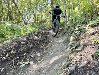
A popular loop through Smithers' easily-accessible trail system.
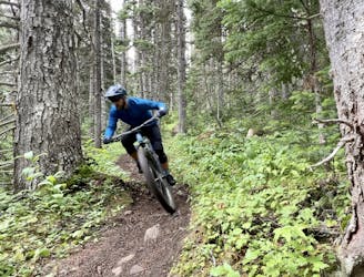
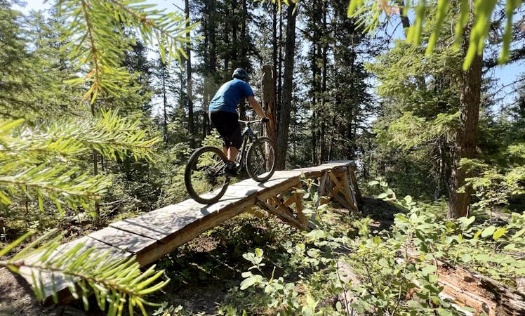
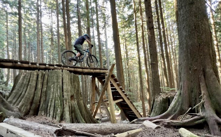
Difficult Mountain Biking
- Distance
- 6.2 km
- Ascent
- 263 m
- Descent
- 263 m
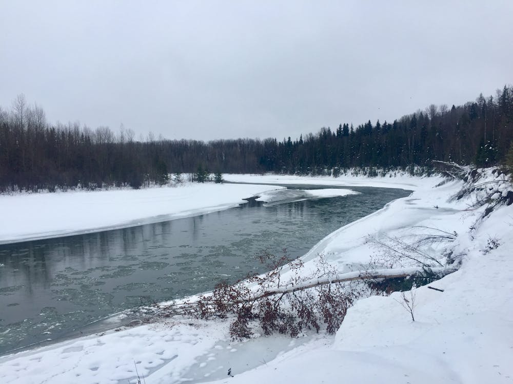
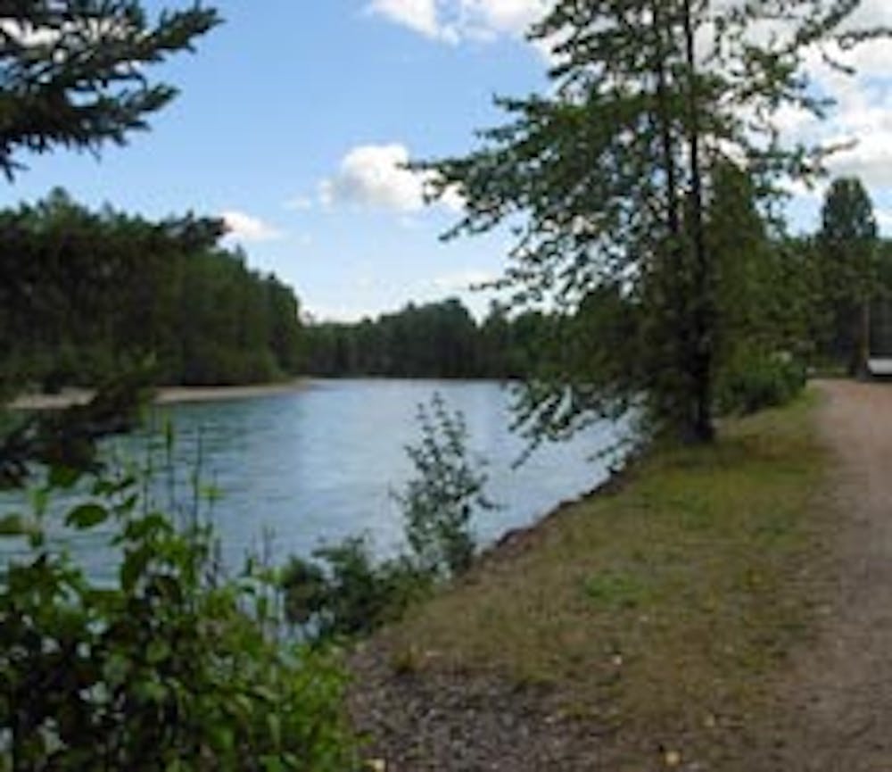
A scenic trail that follows the shores of the Bulkley River, and the Chicken and Kathlyn Creeks.
Mountain Biking Easy

This is an easy loop suitable for all the family and all abilities. It encompasses the breath-taking town of Smithers and is an excellent way to explore the many community parks and designated green space in the region.
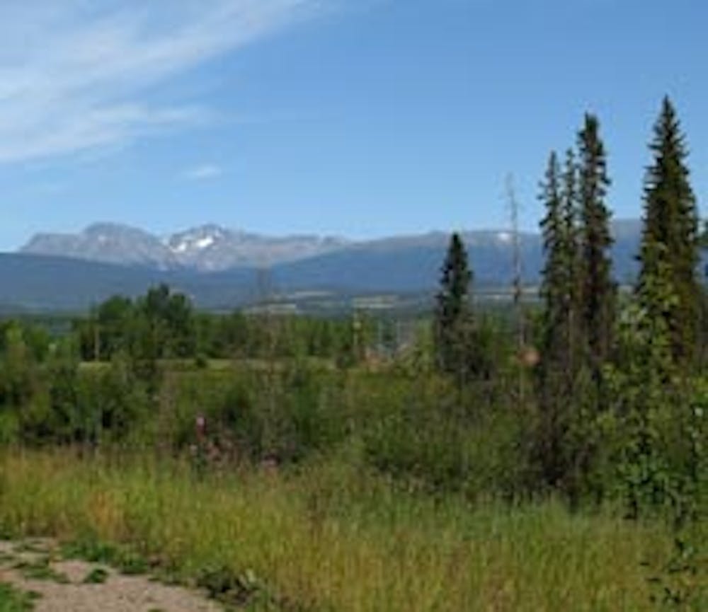
Smithers is a mecca for sporting enthusiasts with biking being high on the list during the summer.
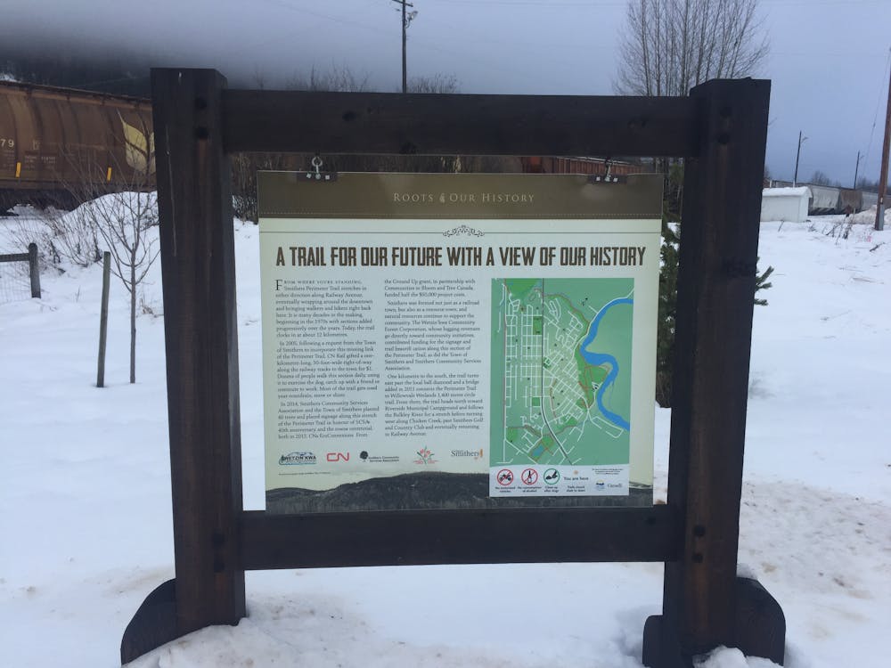
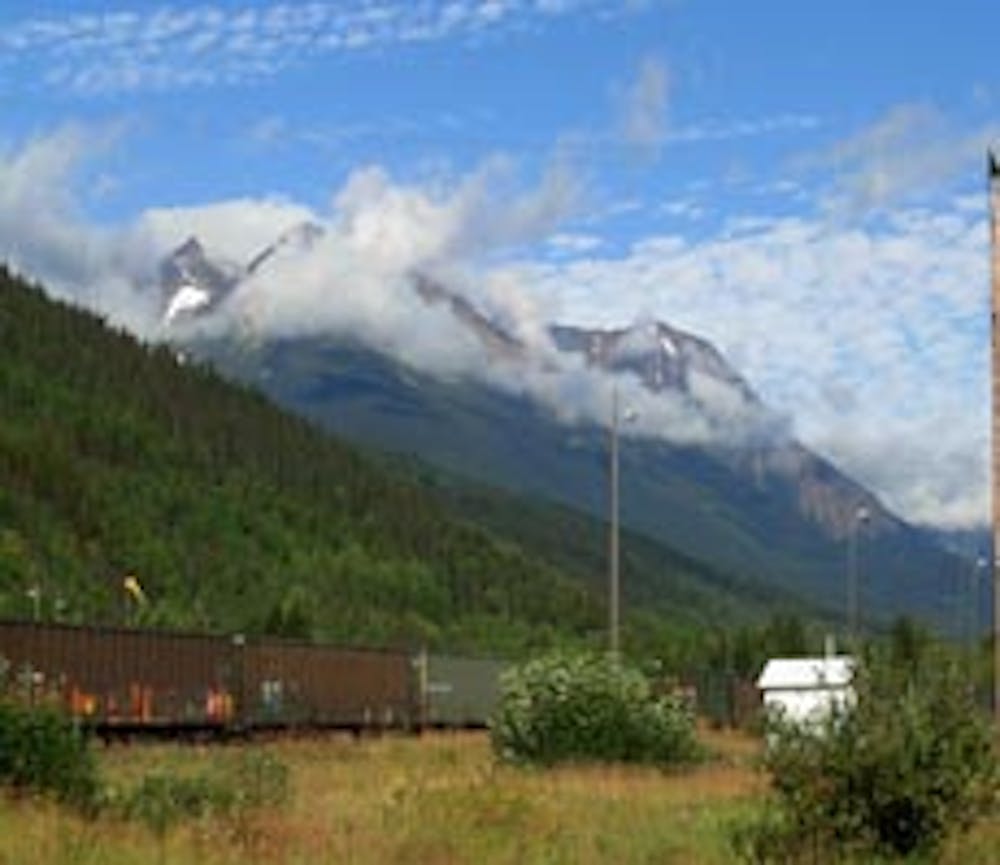
A scenic trail that weaves around the outer perimeter of the town, follows the shores of the Bulkley River , Chicken Creek and Kathlyn Creek, in and out of wooded areas on earthy and gravel tracks. Look out for the miles long cargo trains along the railway!
Many of the best scenic highlights are found along the Bulkley River and throughout Riverside Park. There are frequent areas along the route that offer scenic highlights.
Some bathroom facilities and picnic tables can be found at Riverside Park campground.
This route can be ridden all year round but best on a fat bike when there is deep snow.
After riding the route rejuvenate at a sidewalk cafe in town.
This route starts and ends at the car park for Smithers' Bike Park offering a skills area, so make sure you give this a try as well.
Easy
Mostly smooth and non-technical singletrack with unavoidable obstacles 2in/5cm tall or less. Avoidable obstacles may be present. Ideal for beginner riders.

The path is on completely flat land and potential injury is limited to falling over.
Close to help in case of emergency.
275 m away
A popular loop through Smithers' easily-accessible trail system.
Difficult Mountain Biking
7 km away
An epic brawler of a shuttle run!
Extreme Mountain Biking
7.6 km away

A rowdy shuttle run that jumps straight over a Piper airplane!
Severe Mountain Biking

3 routes · Mountain Biking
8 routes · Mountain Biking
10 routes · Mountain Biking