38 m away
Bonningtons Ski Traverse Day 2 - Grassy Hut to Steed Hut
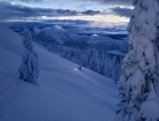
A beautiful journey through rolling terrain
Difficult Ski Touring
- Distance
- 9.4 km
- Ascent
- 835 m
- Descent
- 639 m
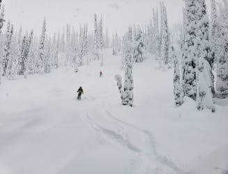
Grassy Mountain Hut to Steed Hut
Ski Touring Difficult

From the Grassy Mountain hut, ascend open trees and meadows in a northeasterly direction to Grassy Mountain 2100m. From the summit, the common traverse route backtracks west about 400m and follows a treed ridge extending in a northerly direction between the headwaters of Granite creek and McPhee creek. After about 1.5km of mainly downhill travel along this north ridge you will arrive at a 1900m pass with a logging road crossing. From here, continue in a northerly direction ascending along the same ridge through tight trees at first and eventually more open trees and meadows to the northeast summit of “Twin Peak” at 2120m (grid 650-642, NAD83, not named on map). From this summit, ski down along the northwest ridge to about 2000m. Look for the easiest way down to the right into an east-facing basin back into Granite creek and ski down to a logging road at 1840m. Ascend this road to a 1900m pass between Granite creek and Glade Creek (grid 656-653, NAD 83). From the pass, contour around the headwaters of Glade creek and ascend a west-facing slope to a 2180m col (grid 671-659, NAD 83), 750m Northwest of Marble Lake. Descend a short but steep slope to the Steed hut (grid 674-660, NAD83), located at 2080m on a bench-like feature near a small lake 500m northwest of Marble Lake.
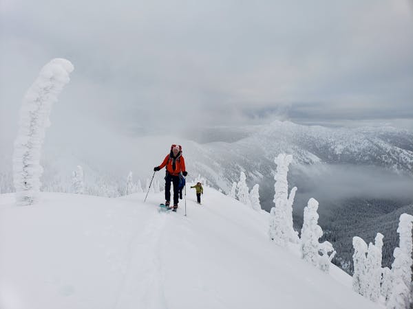
Difficult
Serious gradient of 30-38 degrees where a real risk of slipping exists.
38 m away
A beautiful journey through rolling terrain
Difficult Ski Touring
6.4 km away
A positioning day which ends at a superb hut
Moderate Ski Touring
7.1 km away
Great skiing and big views make this a classic day
Difficult Ski Touring
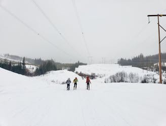
4 routes · Ski Touring