31 m away
Hamilton-Emerald Circuit
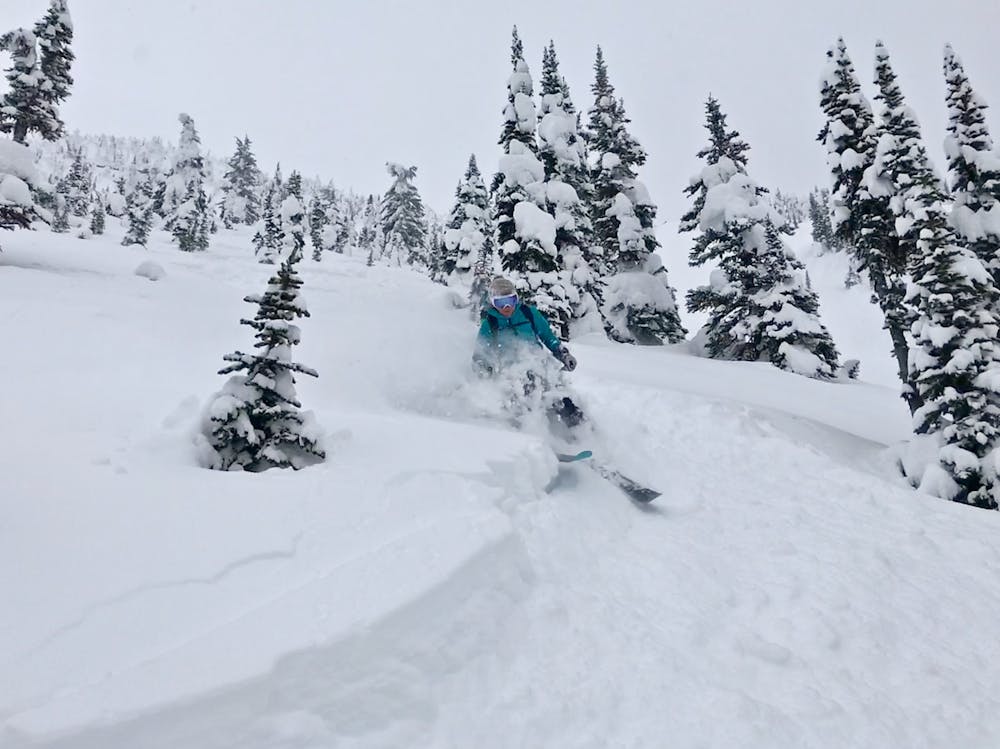
NE facing Ski Line with Tricky Descent
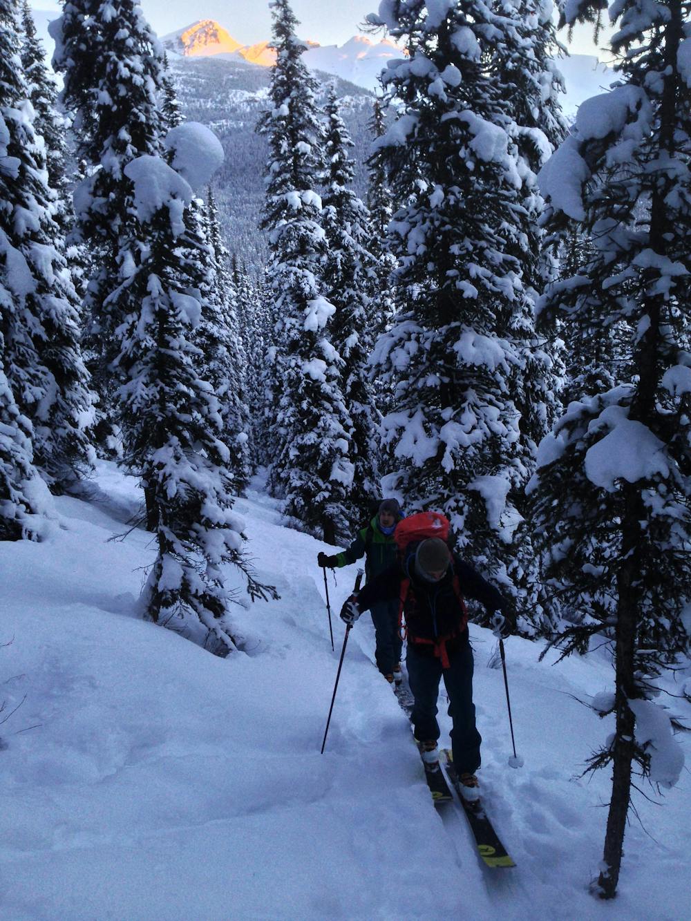
Moderate Ski Touring
- Distance
- 14 km
- Ascent
- 1.3 km
- Descent
- 1.3 km
Classic High Risk Descent
Ski Touring Moderate

Several years ago infrequent alpine slope atop Emerald Peak released, carving a large gulley out. The snow is often excellent, but the risk of remote triggering is especially high. It is often best to wait for this area to have had an avalanche already that season before skiing.
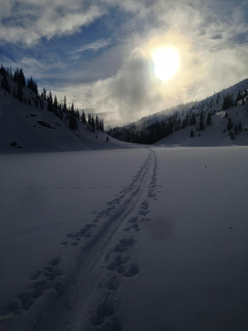
Most folks approach up the slide path, climber's left. The route stays to the left, before running through a copse of trees about 1650m and crossing the climber's right of the slide path. This side is a little steeper, but not in the barrel of the gun as much.
Keep ascending upwards towards the bowl. This flattens out, and can be a good place to do a pit test. Remote triggers are common in the rockies. Be careful and observant in this section.
If the test looks good, the col is a short distance above, and you can skin, or bootpack to the summit depending on conditions. Stick to the ridge if possible.
The best descent is the more open terrain down the centre.
Moderate
Slopes become slightly steeper at around 25-30 degrees.

Exposure is limited to that of the slope itself. Getting hurt is still likely if the slope is steep and/or the snow is hard.

Away from help but easily accessed.
31 m away
NE facing Ski Line with Tricky Descent
Moderate Ski Touring