5.2 km away
Dominion Mountain south side
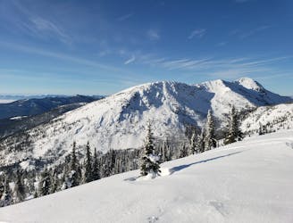
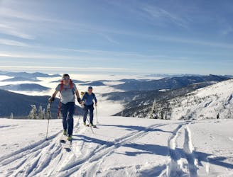
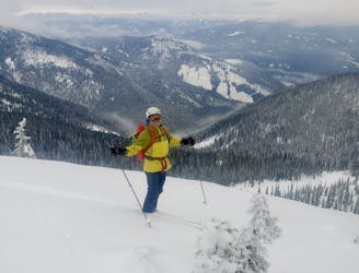
A long and scenic journey to a gorgeous peak and some fabulous ski terrain
Difficult Ski Touring
- Distance
- 12 km
- Ascent
- 807 m
- Descent
- 807 m
An enjoyable and non-technical skin up to a tiny hut
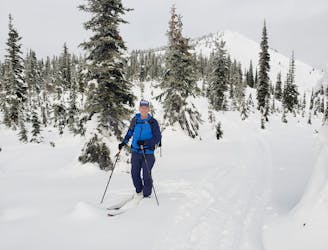
Ski Touring Easy

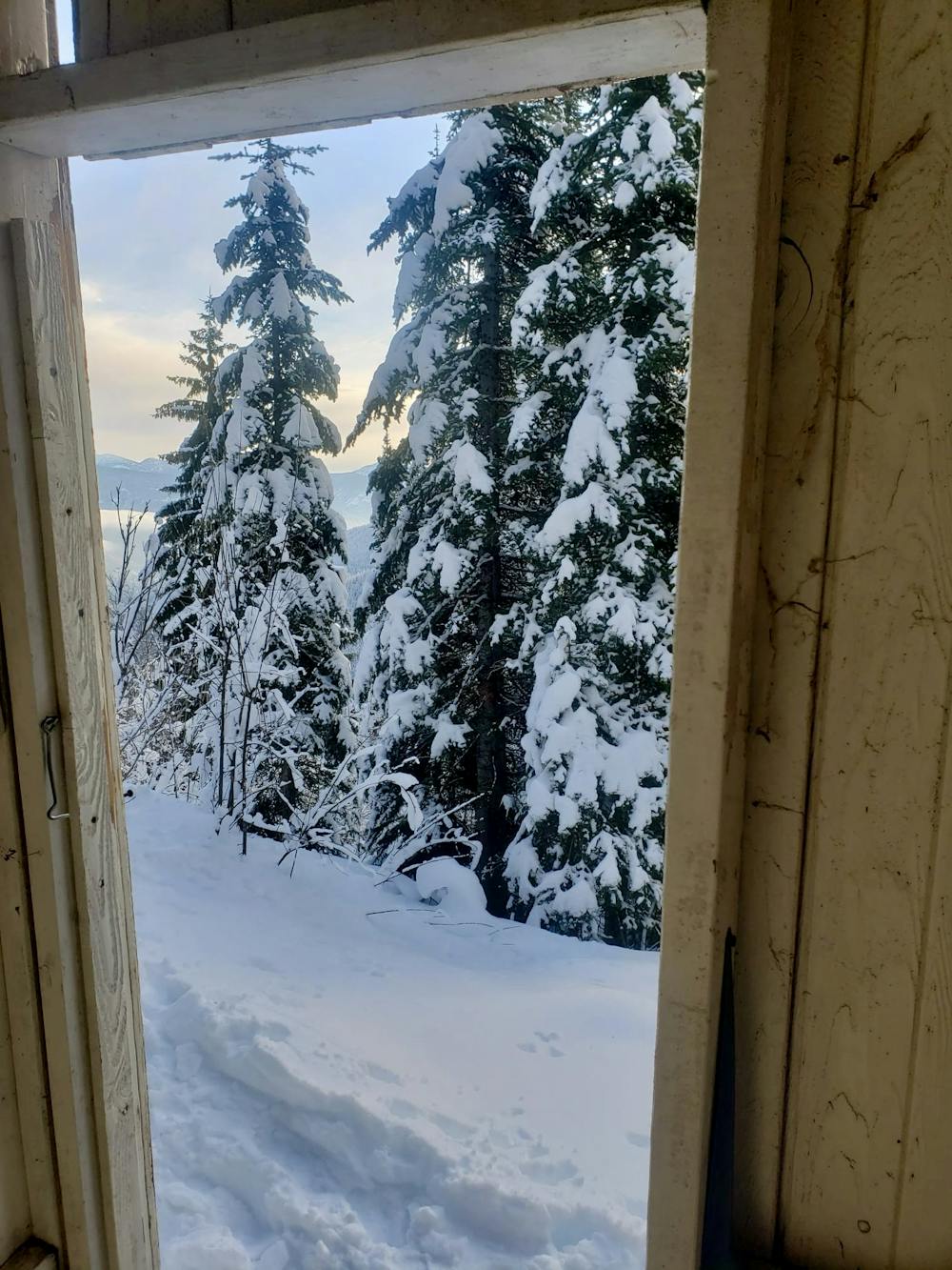
Tucked into the forests beneath Cabin Peak, on the edge of the Bonnington range, the Huckleberry Hut is a lovely place at which to spend a few days. There's some excellent ski terrain above and around the hut, so the skiing quality matches the ambience of the surrounding mountains. Most of the terrain is fairly mellow (although there are steeper faces out there for those seeking them) so this is a great destination for a first hut-based ski trip.
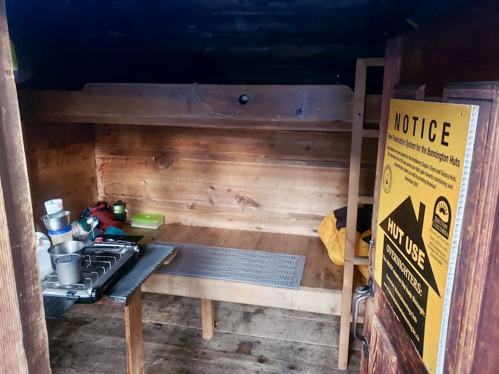
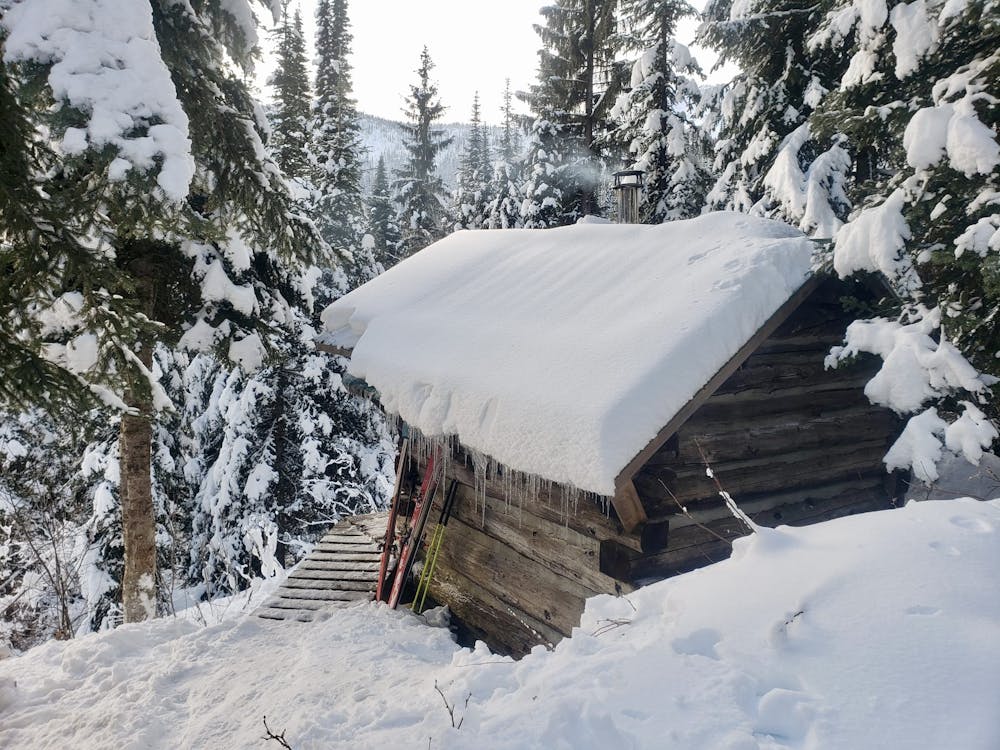
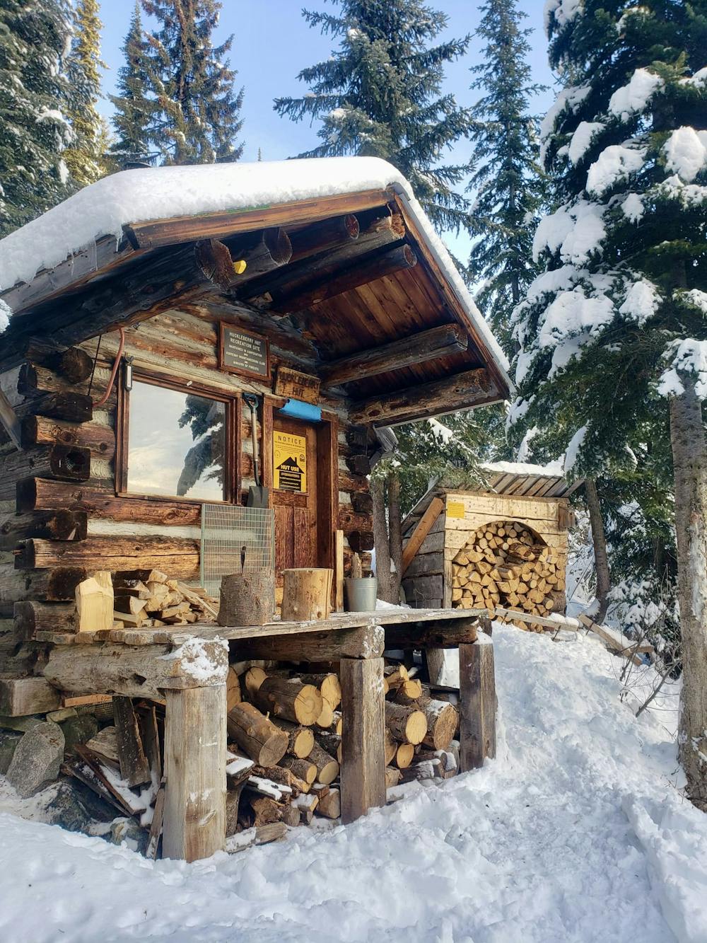
The hut itself is tiny, and has a set of bunk beds, a log burning stove (plus a supply of firewood, so you don't need to bring any up), an outhouse, a fold down table (complete with a 2 burner stove, which you need to bring 1lb propane bottles for) and....that's about it! The hut is advertised as sleeping 4 people, but you'll need to be exceptionally good friends with your companions if you try to fit 4 bodies onto the 2 beds! Having 2 people sleeping in the hut and the rest of the team camping nearby is a good call, and allows everyone to use the hut facilities without making things too cramped at night.
The hut can be booked through the Kootenay Mountaineering Club website, as can the huts on the wonderful Bonnington Range Ski Traverse, and costs, at the time of writing, $80 per night. The hut MUST be reserved before you use it - please don't go up and try to use the hut if you haven't made a booking.
The trip up to the hut begins at a large parking lot in Porto Rico, just off Highway 6. The Bonnington Range is popular with snowmobilers so park respectfully and make there is room for trailers to be manoeuvred and unloaded. A clear track heads west into the forests - follow this as it winds up, above Barrett Creek, into the Bonnington Range. The track is shared with snowmobilers so skin up on the side of the trail, not right in the middle.
After 6kms a smaller track branches off left, then - a few hundred meters later - crosses Barrett Creek and climbs up through peaceful forests to reach the hut.
Easy
Wide gentle slopes at around 20 degrees or less.

Exposure is limited to that of the slope itself. Getting hurt is still likely if the slope is steep and/or the snow is hard.

Little chance of being seen or helped in case of an accident.
5.2 km away
A long and scenic journey to a gorgeous peak and some fabulous ski terrain
Difficult Ski Touring
5.2 km away
Mellow and scenic tree skiing make this a Type 1 fun route
Moderate Ski Touring
5.2 km away
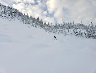
An exceptional, and adventurous-feeling descent into Barrett Creek
Difficult Ski Touring
5.2 km away
A wide open face provides some fast, furious skiing.
Difficult Ski Touring
5.2 km away
A superb ski face, covered in possible lines
Moderate Ski Touring