9.1 km away
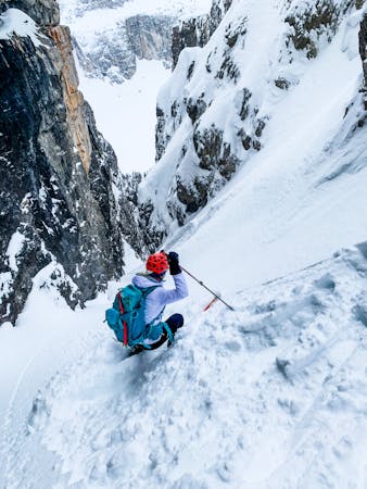
Trident Couloir
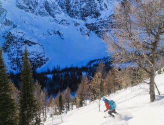
This aesthetic couloir can be seen from Panorama ridge and is a great ski if snow stability is good.
Difficult Ski Touring
- Distance
- 18 km
- Ascent
- 1.3 km
- Descent
- 1.3 km
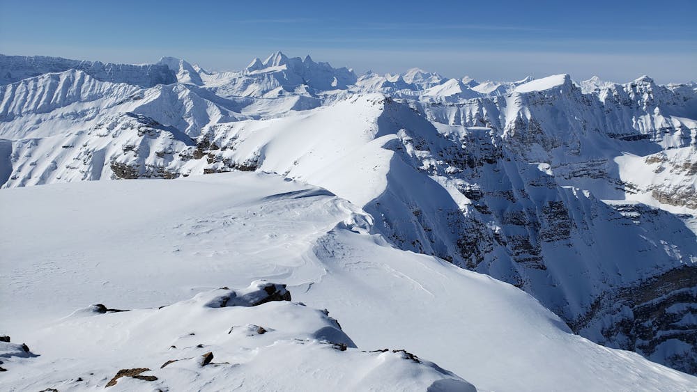
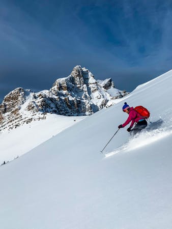
Summit of Mt. Whymper and a stellar descent
Ski Touring Difficult

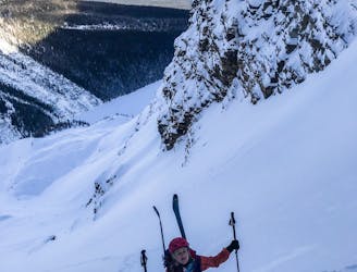
This is a popular ski touring route which is generally considered to be difficult. It's not remote, it features low exposure (e1) and is typically done between January and April. From a low point of 1.6 km to the maximum altitude of 2.8 km, the route covers 17 km, 1438 vertical metres of ascent and 1438 vertical metres of descent. You'll need skins to complete it safely.
This is a direct route up the narrow bowl on the north aspect of Whymper. Summit was not skinnable, so we boot packed up and took in the view, then back down to a stellar descent.
Difficult
Serious gradient of 30-38 degrees where a real risk of slipping exists.

Exposure is limited to that of the slope itself. Getting hurt is still likely if the slope is steep and/or the snow is hard.
Close to help in case of emergency.
9.1 km away
This aesthetic couloir can be seen from Panorama ridge and is a great ski if snow stability is good.
Difficult Ski Touring
9.1 km away
A classic Rockies ski line - this is a huge couloir!
Severe Ski Touring
9.2 km away
This is an extremely popular ski tour with simple terrain and lovely views.
Moderate Ski Touring
4 routes · Ski Touring
4 routes · Ski Touring