2.7 km away
The Cook Wiggle
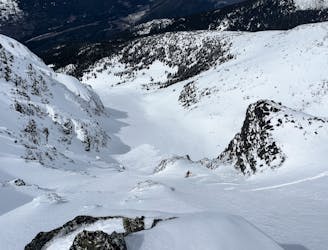
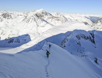
Steep ski line on the north face of Mt. Cook in Garibaldi Provincial Park
Severe Ski Touring
- Distance
- 501 m
- Ascent
- 0 m
- Descent
- 439 m
One of the bigger steep ski lines in the Wedgemount group!
Ski Touring Severe

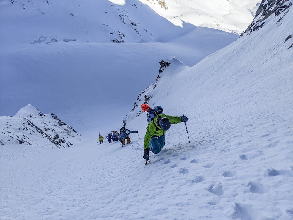
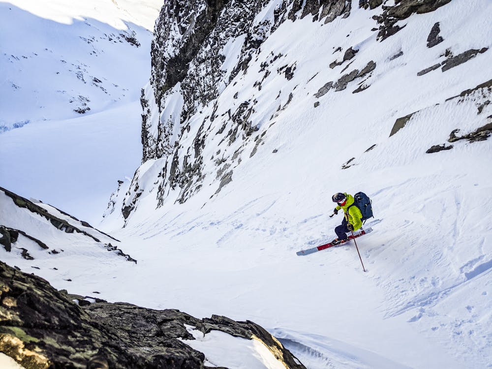
This is a popular ski touring route which is generally considered to be severe. It's remote, it features medium exposure (e2) and is typically done between January and April. From a low point of 2.3 km to the maximum altitude of 2.7 km, the route covers 338 m, 0 vertical metres of ascent and 386 vertical metres of descent. It's graded 4.1 and Labande grade 4. You'll need rope, skins, ice axe, crampons and glacier kit to complete it safely.
One of the most sustained steep ski lines on the Coast. From the roll-over at the top, it stays close to 45deg all the way to the bergshrund. A small choke needs to be filled in for the best conditions. Lots of space to get skis on at the top.
Severe
Steep skiing at 38-45 degrees. This requires very good technique and the risk of falling has serious consequences.

As well as the slope itself, there are some obstacles (such as rock outcrops) which could aggravate injury.
Away from help but easily accessed.
2.7 km away
Steep ski line on the north face of Mt. Cook in Garibaldi Provincial Park
Severe Ski Touring
4.2 km away
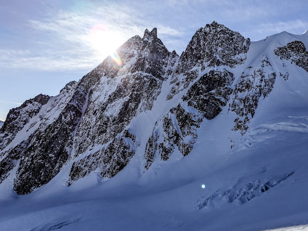
A Whistler classic steep ski line not to be underestimated!
Difficult Ski Touring