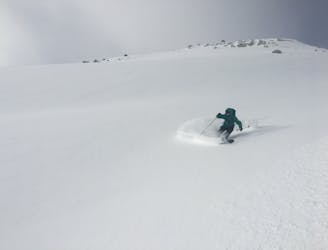
1.8 km away
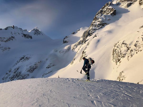
Wedge NW Couloir
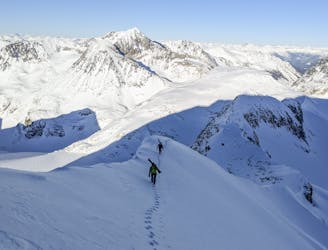
A Whistler classic steep ski line not to be underestimated!
Difficult Ski Touring
- Distance
- 1.3 km
- Ascent
- 3 m
- Descent
- 608 m
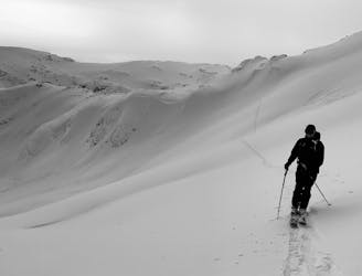
A very serious but still manageable couloir descent!
Ski Touring Difficult

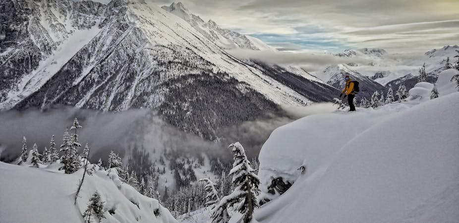
An easy couloir to access but still a serious descent. The route is commonly protected by cornices. The first pitch of the route often has windswept and thinly covered rocks. The left side of the couloir has big open panels of snow that collect windslab. Even if mitigating windslab from above, these might be protected and can still affect the ski descent. A choke at 2/3 height is the technical crux.
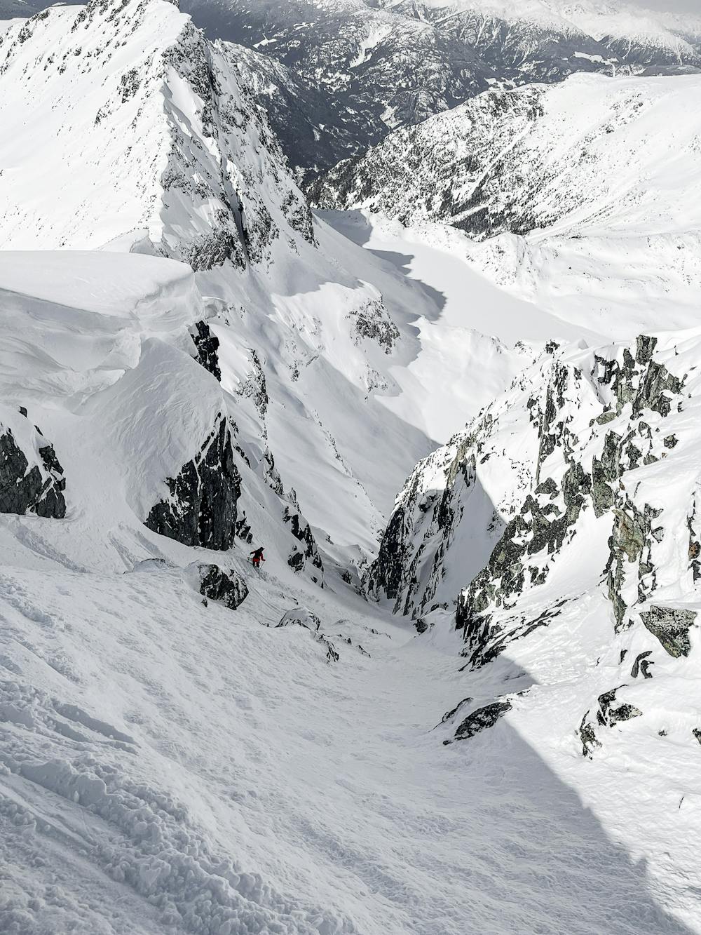
Difficult
Serious gradient of 30-38 degrees where a real risk of slipping exists.

Away from help but easily accessed.
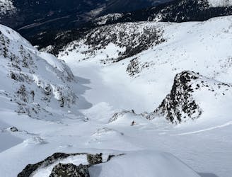
1.8 km away
A Whistler classic steep ski line not to be underestimated!
Difficult Ski Touring
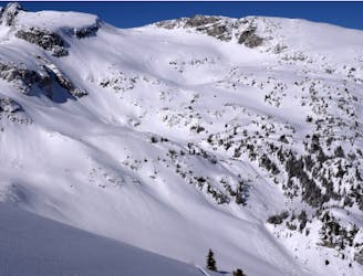
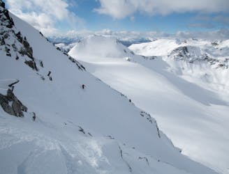
3.4 km away
Steep ski line on the north face of Mt. Cook in Garibaldi Provincial Park
Severe Ski Touring
7.9 km away
An excellent loop through the Blackcomb backcountry with no glacier travel required.
Moderate Ski Touring
7.9 km away
An excellent first glacier travel experience in the Blackcomb backcountry
Moderate Ski Touring
8.1 km away
An high value introduction to the Spearhead and Phalanx Glaciers
Moderate Ski Touring
8.1 km away
Entry Level Steep Skiing
Severe Ski Touring
9.9 km away
Blackcomb's Most Popular Yo-Yo Turns
Moderate Ski Touring
7 routes · Ski Touring
6 routes · Ski Touring
4 routes · Ski Touring