9.7 km away
Red Heather Day Touring
Beginner Friendly Ski Touring
Easy Ski Touring
- Distance
- 20 km
- Ascent
- 1.5 km
- Descent
- 1.5 km
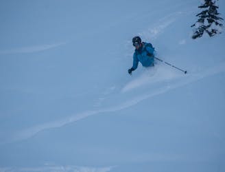
Skiing Nch'Kay by running from tidewater to snowline and back!
Ski Touring Difficult

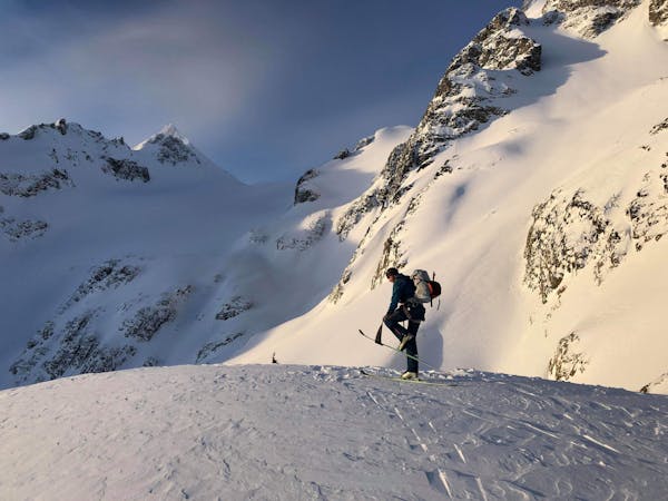
I've always wanted to run and ski Nch'kay (Mt. Garibaldi) from my house in Squamish.
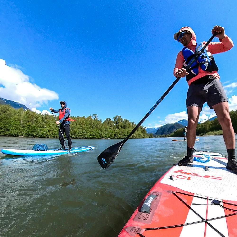
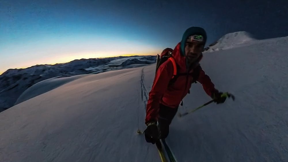
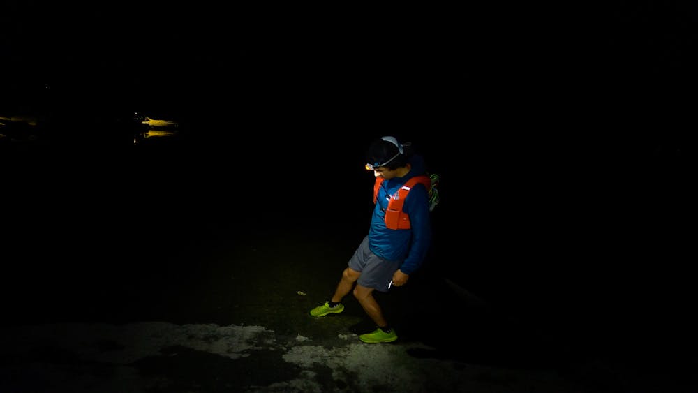
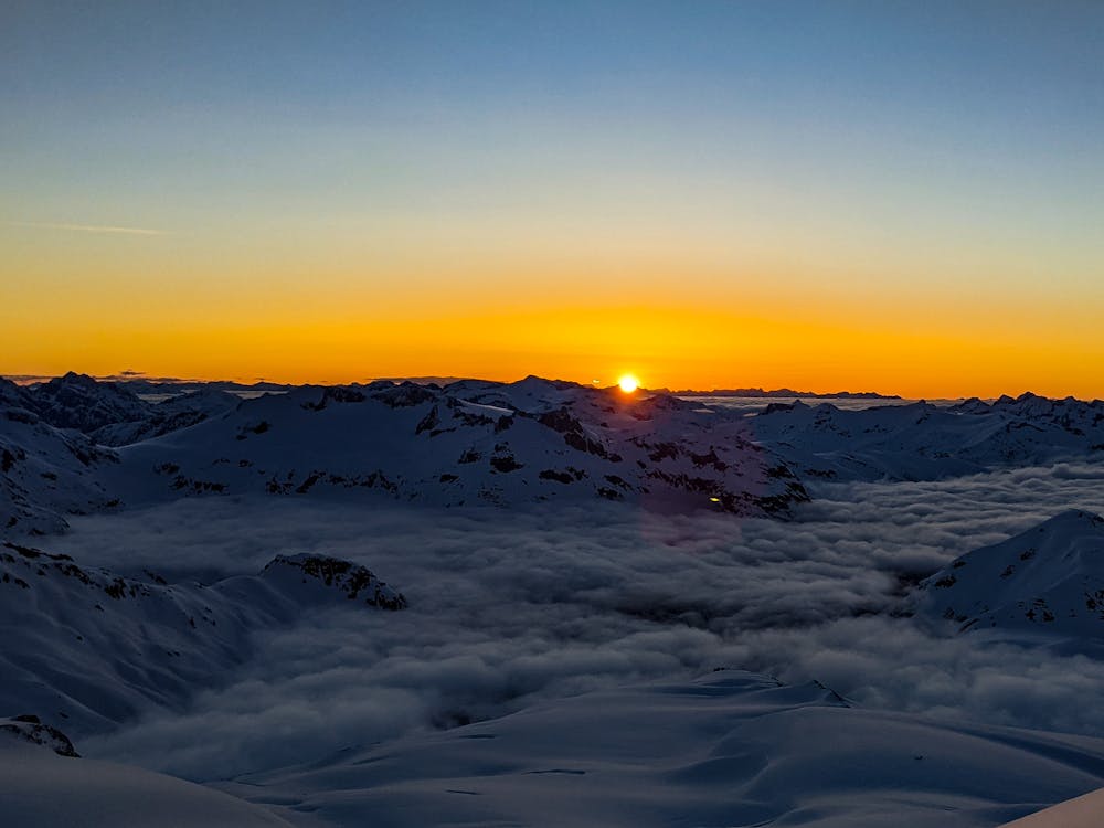
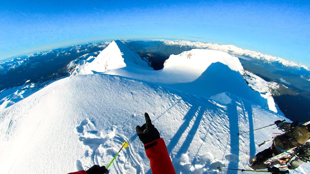
This is marked as a ski tour but I started on foot at the ocean in Squamish, running up the Garibaldi Park Road and MTB trails to get to the Diamondhead Parking Lot. From there I put on skis and toured around the Garibaldi Neve to reach the NE Face of Nch'Kay and then down Brohm Ridge. There I switched back to running down to town and into Brakendale to meet friends with paddle boards at the Squamish River which took us back to downtown Squamish and a short run to return to the ocean!
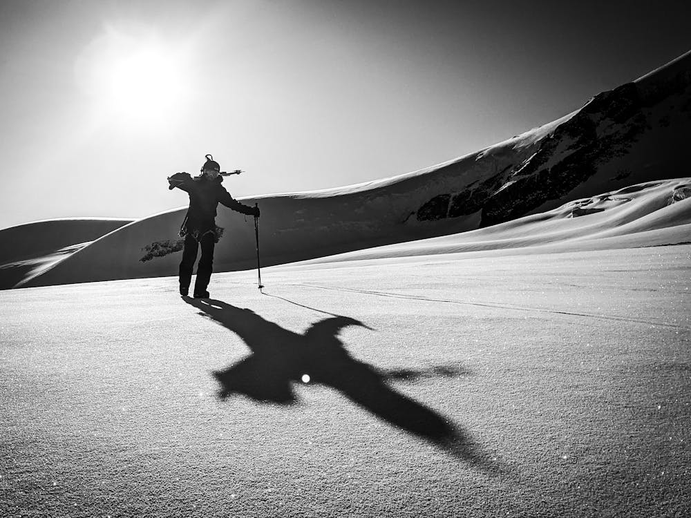
Difficult
Serious gradient of 30-38 degrees where a real risk of slipping exists.

As well as the slope itself, there are some obstacles (such as rock outcrops) which could aggravate injury.
Away from help but easily accessed.
9.7 km away
Beginner Friendly Ski Touring
Easy Ski Touring
9.7 km away
A classical glacial traverse in the Sea to Sky
Moderate Ski Touring
6 routes · Ski Touring