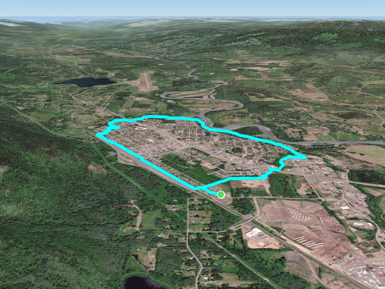
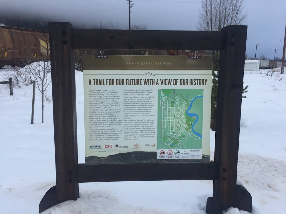
Smithers' Perimeter Trail
A scenic trail that follows the shores of the Bulkley River, Chicken & Kathlyn Creeks.
Ski Touring Easy
- Distance
- 9.8 km
- Ascent
- 185 m
- Descent
- 185 m
- Duration
- 2-3 hrs
- Low Point
- 465 m
- High Point
- 500 m
- Gradient
- 15˚
This is an easy loop suitable for all the family and all abilities.
- •
- •
Description
It encompasses the breath-taking town of Smithers and is an excellent way to explore the many community parks and designated green space in the region.
Smithers is a mecca for sporting and outdoor enthusiasts all year round.
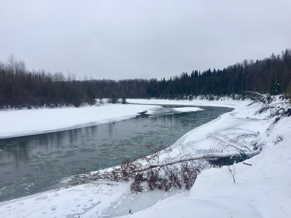
A scenic trail that weaves around the outer perimeter of the town, follows the shores of the Bulkley River , Chicken Creek and Kathlyn Creek, in and out of wooded areas, suitable to ski.
Look out for the miles long cargo trains along the railway!
Many of the best scenic highlights are found along the Bulkley River and throughout Riverside Park.
There are occasional rest areas along the route that offer scenic highlights.
Some bathroom facilities can be found at Riverside Park campground.
After completing the route rejuvenate at a one of the cozy cafes in town.
Difficulty
Easy
Wide gentle slopes at around 20 degrees or less.
Low Exposure (E1)

Exposure is limited to that of the slope itself. Getting hurt is still likely if the slope is steep and/or the snow is hard.
Remoteness
Close to help in case of emergency.