9.7 km away
Red Heather Day Touring
Beginner Friendly Ski Touring
Easy Ski Touring
- Distance
- 20 km
- Ascent
- 1.5 km
- Descent
- 1.5 km
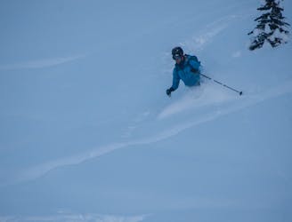
Admittedly a novelty, skiing a rad couloir above the ocean is pretty cool!
Ski Touring Difficult

Being so close to the Pacific Ocean, the alpine areas around Squamish, BC get massive amounts of precipitation. Unfortunately at sea level, that precipitation comes with warm temperatures so skiing in town is pretty unusual. December 2021 was unusual however and after days and days of shovelling my driveway, I finally decided it was worth checking out if the North Gully of the Squamish Chief might be skiable.
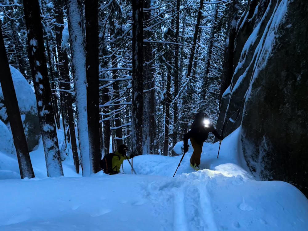
I'd looked up it many times wondering but never felt like there was enough snow to try. Paul, Chris, and I decided to go for it and it seemed to be a good omen that there was so much snow we were unable to park in the parking lot!
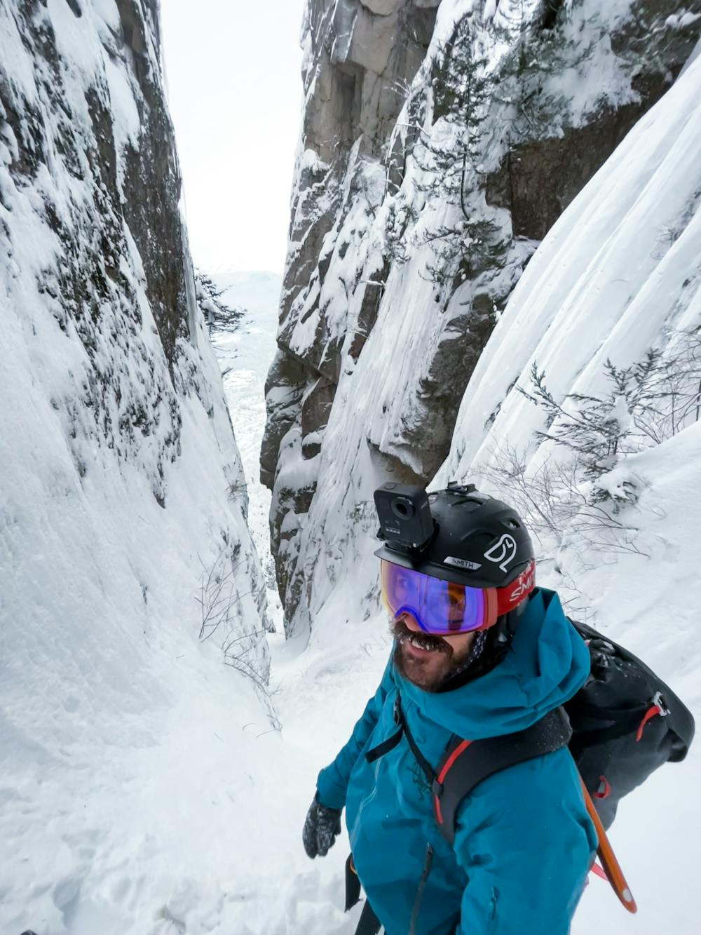
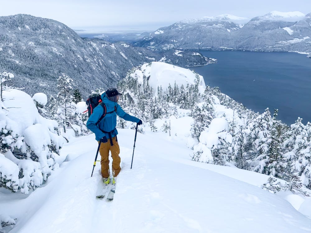
We skinned up the regular backside trail to the col between the First and Second Peaks. Being among big old trees was spectacular but emerging on the summit slabs (after some technical climbing up the notch) was incredible with the ocean and town below!
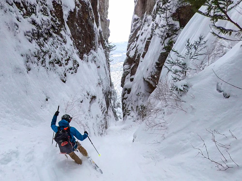
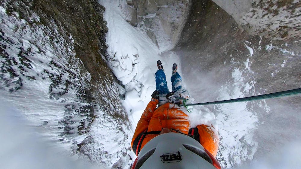
We transitioned and skied down towards the North Gully. At the entrance, we realized we'd need to rappel in and there would be no turning back. I built an anchor off a tree and away we went into a tight constriction that gradually opened up under the massive north walls of the chief. This was a surreal position and as the skiing improved, we found ourselves making deep pow turns. We arrived at the major chockstone and decided to rappel the outside. It took two full length rappels to get back in the gully and we continued along our way.
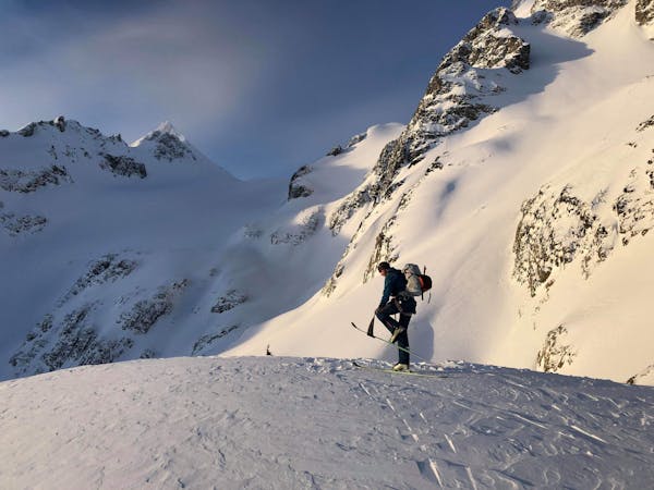
The skiing stayed high quality and we made two more very short rappels along the way, all the while looking up at the classic Angel's Crest to our left and the impressive north walls rockfall scar to our right. Emerging on the apron, we started hitting sharks and it was a bit of a fight to get down through the forest and back to the road where we skinned back to our cars!
I think this is likely a once in a lifetime descent so I'm incredibly pleased to have completed it. We had surprisingly good conditions and even knowing what the route had in store for us, had some complicated problem solving and technical ski mountaineering!
Difficult
Serious gradient of 30-38 degrees where a real risk of slipping exists.

As well as the slope itself, there are some obstacles (such as rock outcrops) which could aggravate injury.

Close to help in case of emergency.
9.7 km away
Beginner Friendly Ski Touring
Easy Ski Touring
9.7 km away
A classical glacial traverse in the Sea to Sky
Moderate Ski Touring
6 routes · Ski Touring