120 m away
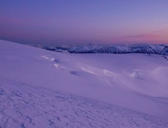
Red Heather Day Touring
Beginner Friendly Ski Touring
Easy Ski Touring
- Distance
- 20 km
- Ascent
- 1.5 km
- Descent
- 1.5 km
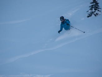
1000m long coulior on spire peaks
Ski Touring Severe

This is a popular ski touring route which is generally considered to be severe. It's very remote, it features high exposure (e3) and is typically done between March and May. From a low point of 930 m to the maximum altitude of 2.1 km, the route covers 49 km, 3683 vertical metres of ascent and 3686 vertical metres of descent. You'll need rope, skins, ice axe, crampons and glacier kit to complete it safely.

Incredibly long west facing coulior, whats not to love
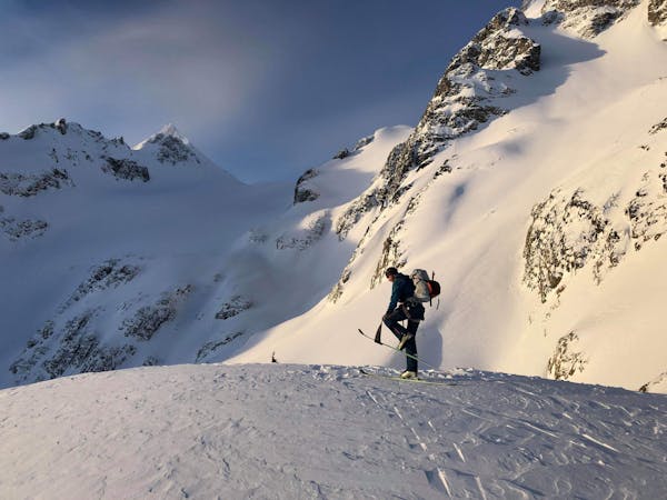
Severe
Steep skiing at 38-45 degrees. This requires very good technique and the risk of falling has serious consequences.

In case of a fall, death is highly likely.
Little chance of being seen or helped in case of an accident.
120 m away
Beginner Friendly Ski Touring
Easy Ski Touring
142 m away
A classical glacial traverse in the Sea to Sky
Moderate Ski Touring
6 routes · Ski Touring