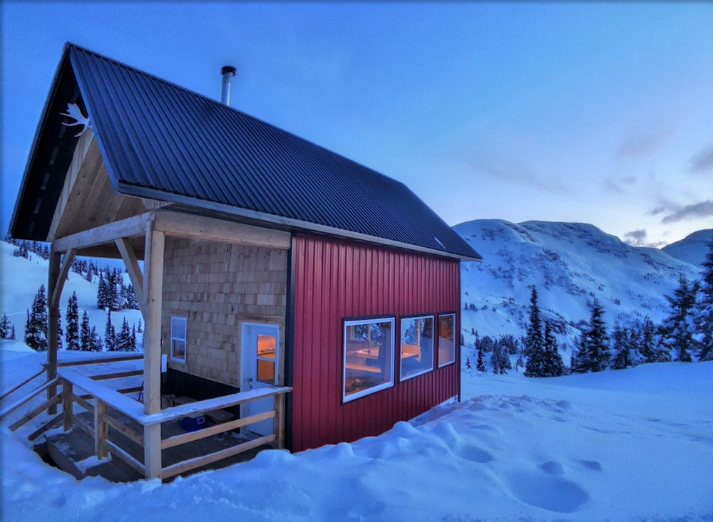
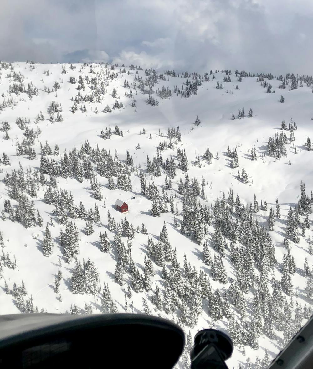
Terrace BC Cabin based Backcountry
Heli accessed backcountry ski touring on a shoestring
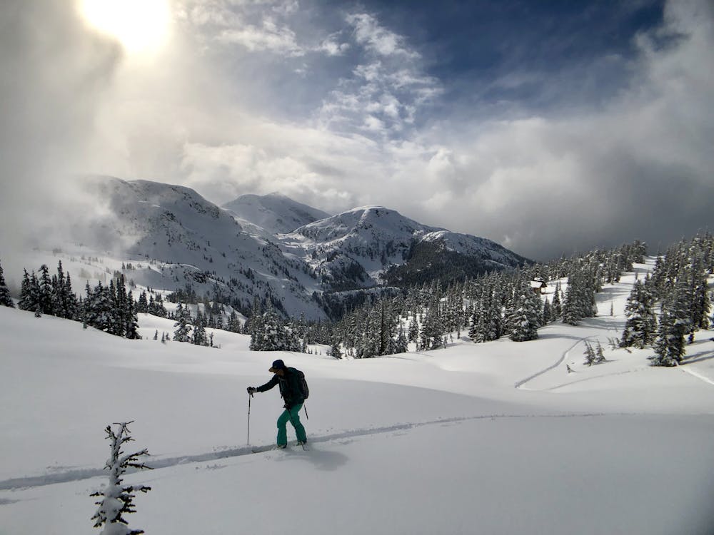
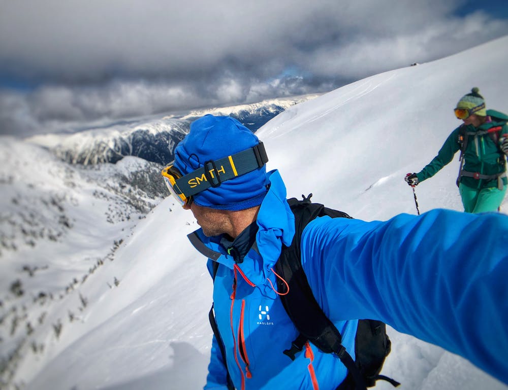
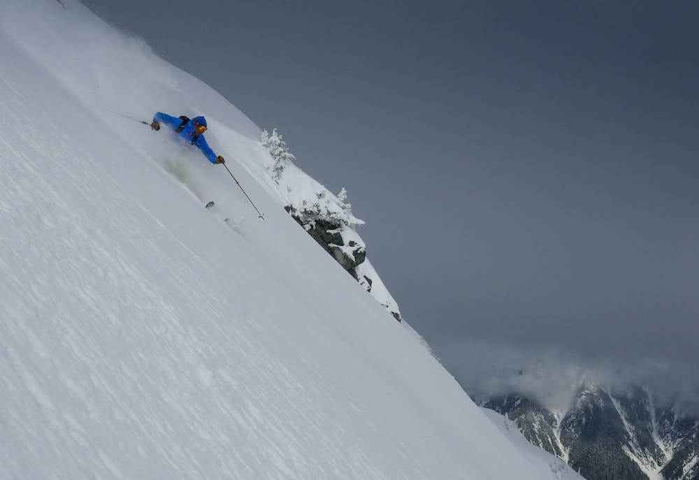
Ski Touring Difficult
- Distance
- 13 km
- Ascent
- 1.7 km
- Descent
- 1.7 km
- Duration
- 7-8 hrs
- Low Point
- 970 m
- High Point
- 1.5 km
- Gradient
- 43˚

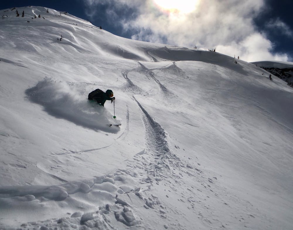
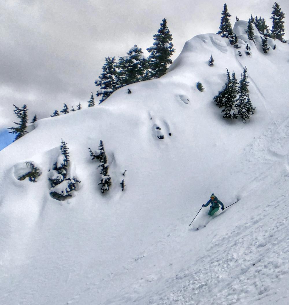
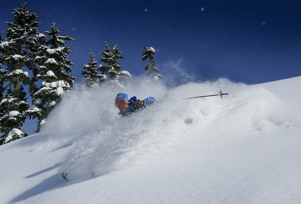
Terrace feels like Revelstoke 20 years ago, but because of its relative remoteness from large centres of population it’s unlikely to change much in the coming years. The huts will stay quiet, the powder filled bowls will stay largely untracked.
- •
- •
- •
- •
- •
- •
- •
- •
- •
Description
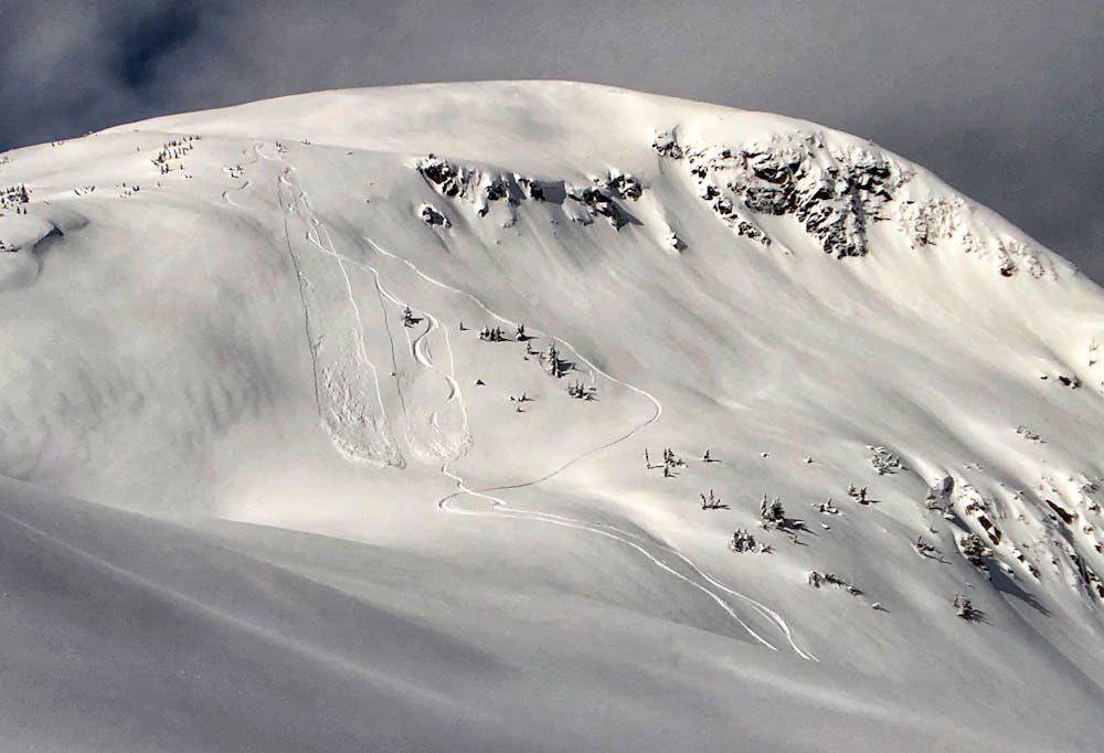
Sited perfectly at gladed tree line, the Anderson cabin provides super-fast access to cold powder on the north facing slopes of the regions higher peaks. The excellent Baldwin map of the area gives a good starting point to the region, but at its’ heart this is wilderness skiing. Explore with Fatmap the endless chute and drainage options available here. Scope a line, skin to its top, drop the line. Repeat.
Difficulty
Difficult
Serious gradient of 30-38 degrees where a real risk of slipping exists.
Medium Exposure (E2)

As well as the slope itself, there are some obstacles (such as rock outcrops) which could aggravate injury.
Remoteness

In the high mountains or remote conditions, all individuals must be completely autonomous in every situation.
Best time to visit
Equipment required
- Skins