the Berger tour
A multi day ski traverse through the Monashees.
Ski Touring Severe
- Distance
- 39 km
- Ascent
- 3.3 km
- Descent
- 3.8 km
- Duration
- 1 day +
- Low Point
- 867 m
- High Point
- 2.4 km
- Gradient
- 28˚

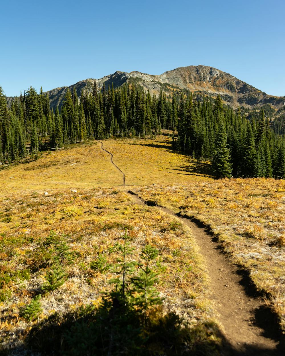
A 40 k ski traverse through a popular backpacking route. with 3 big descents and some awesome views. if your feeling up for it, adding a short detour you could bag Mount Severide but you would probably need some some more gear as its a fun scramble in the summer.
Description
the big descent at the end takes you to the river crossing on north fork road. its a good idea to check the road before committing to the route as its an extra 10+ km of service road to the pavement if its not cleared.
I'm planning to send this route late feb 2023 as a 3 day with camp at Monashee lake and twin lakes!
Difficulty
Severe
Steep skiing at 38-45 degrees. This requires very good technique and the risk of falling has serious consequences.
Medium Exposure (E2)

As well as the slope itself, there are some obstacles (such as rock outcrops) which could aggravate injury.
Remoteness

Little chance of being seen or helped in case of an accident.
Best time to visit
Features
- Bowl
- Cliffs
- Tree Skiing
- Ski Mountaineering
Equipment required
- Skins
- Ice axe
- Crampons