Dog-Suicide Loop
Mount Seymour
Scenic Seymour Circuit
Snow Shoeing Difficult
- Distance
- 5.6 km
- Ascent
- 355 m
- Descent
- 343 m
- Duration
- 2-3 hrs
- Low Point
- 998 m
- High Point
- 1.1 km
- Gradient
- 30˚

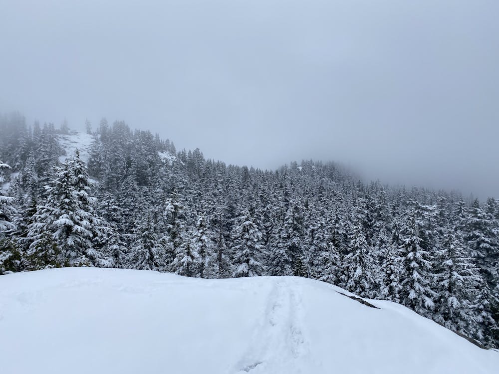
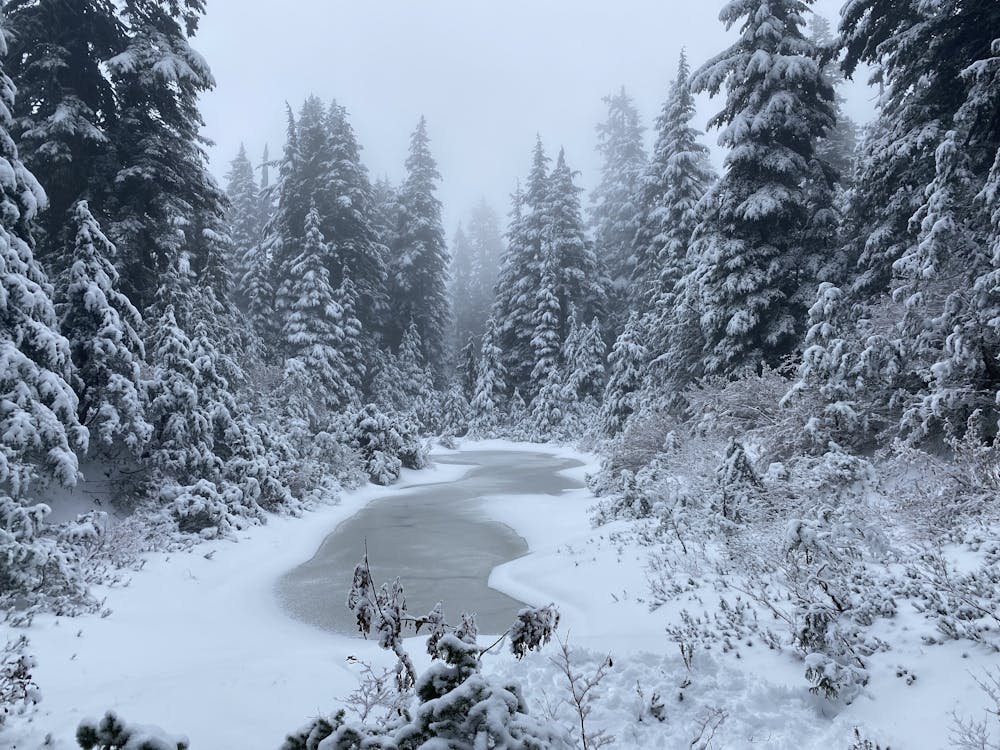
The Dog-Suicide Loop follows the popular Dog mountain trail and then continues along the ridge. Several sections of the trail are quite steep. They actually have ropes dangling from trees to help travellers scramble up the trickier sections. Avalanches are very rare, with only one or two spots where small storm slabs could release after big storms.
- •
- •
- •
- •
- •
- •
- •
- •
- •
- •
- •
Description
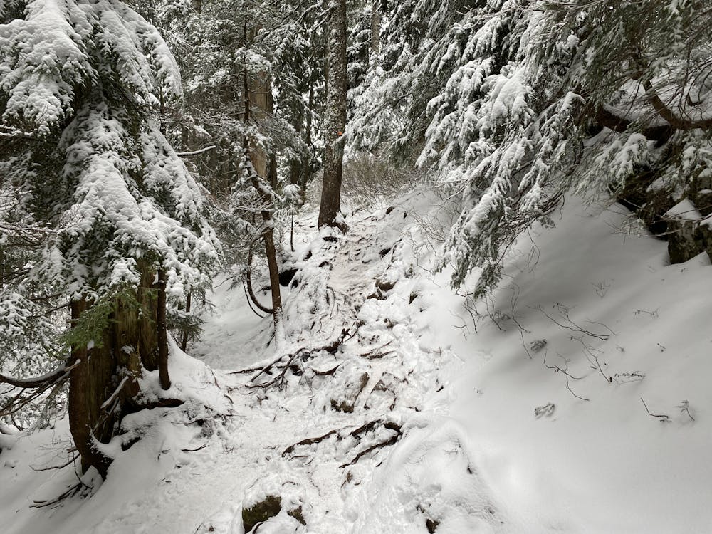
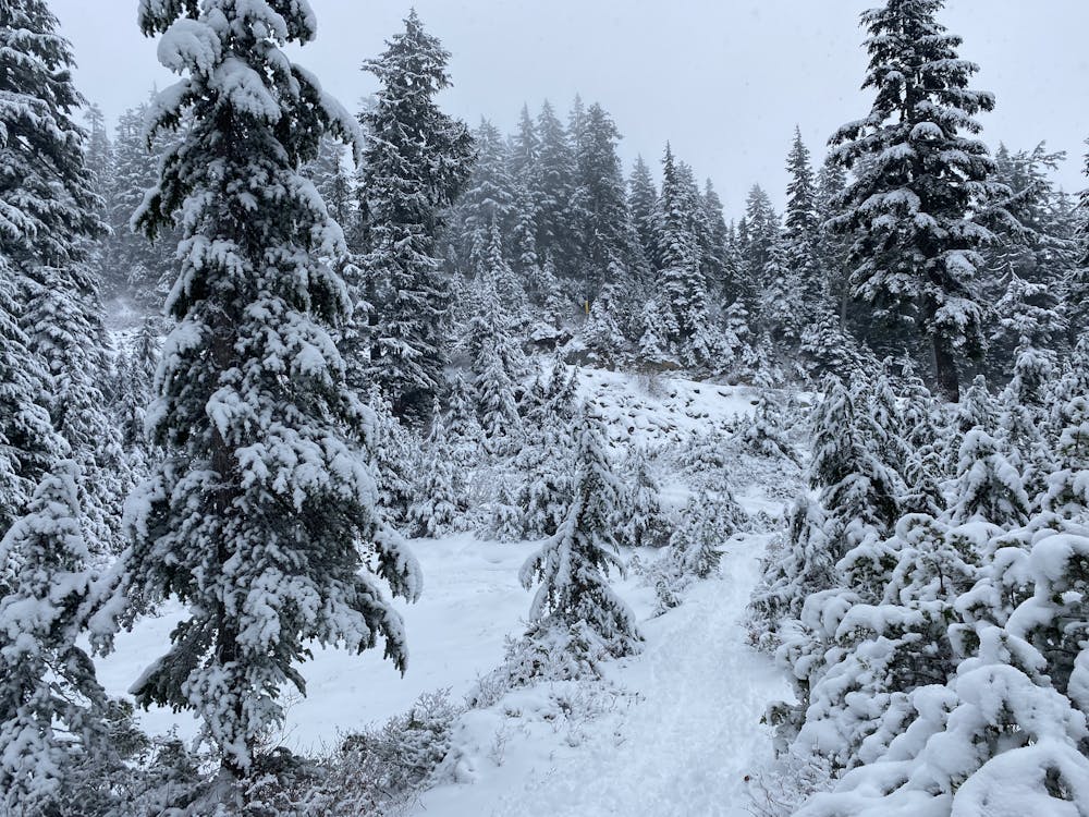
Early season the trail is rough, with mostly microspikes walking along. Until there is a base of about 1 meter, it's best to stick with microspikes. After the heavier snowfalls the trail flattens out, and is better for snowshoes. Later in the season in the spring there is normally lots of snow. It is best to travel early when it is solid with microspikes. In the afternoon it gets wetter, and glopy and less pleasant. Generally the snow remains until June.
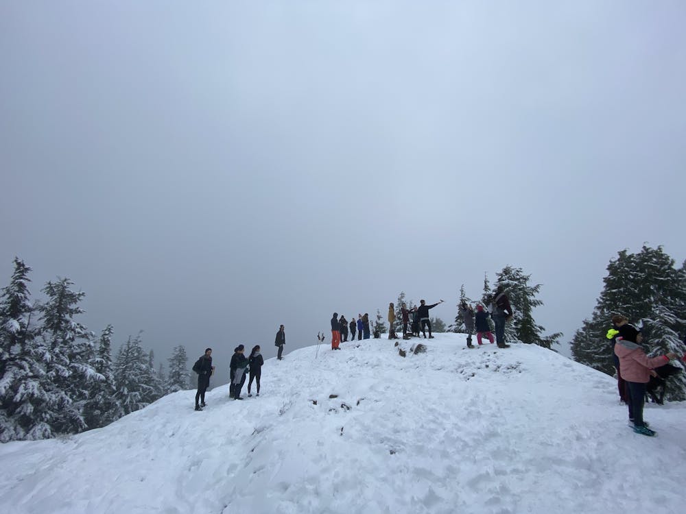
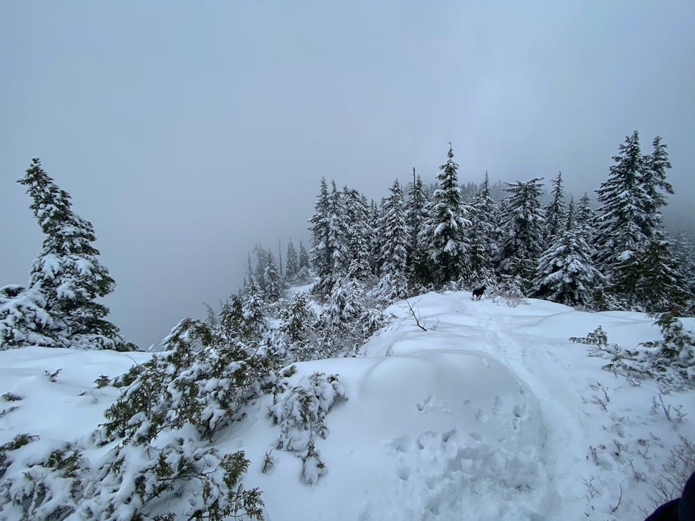
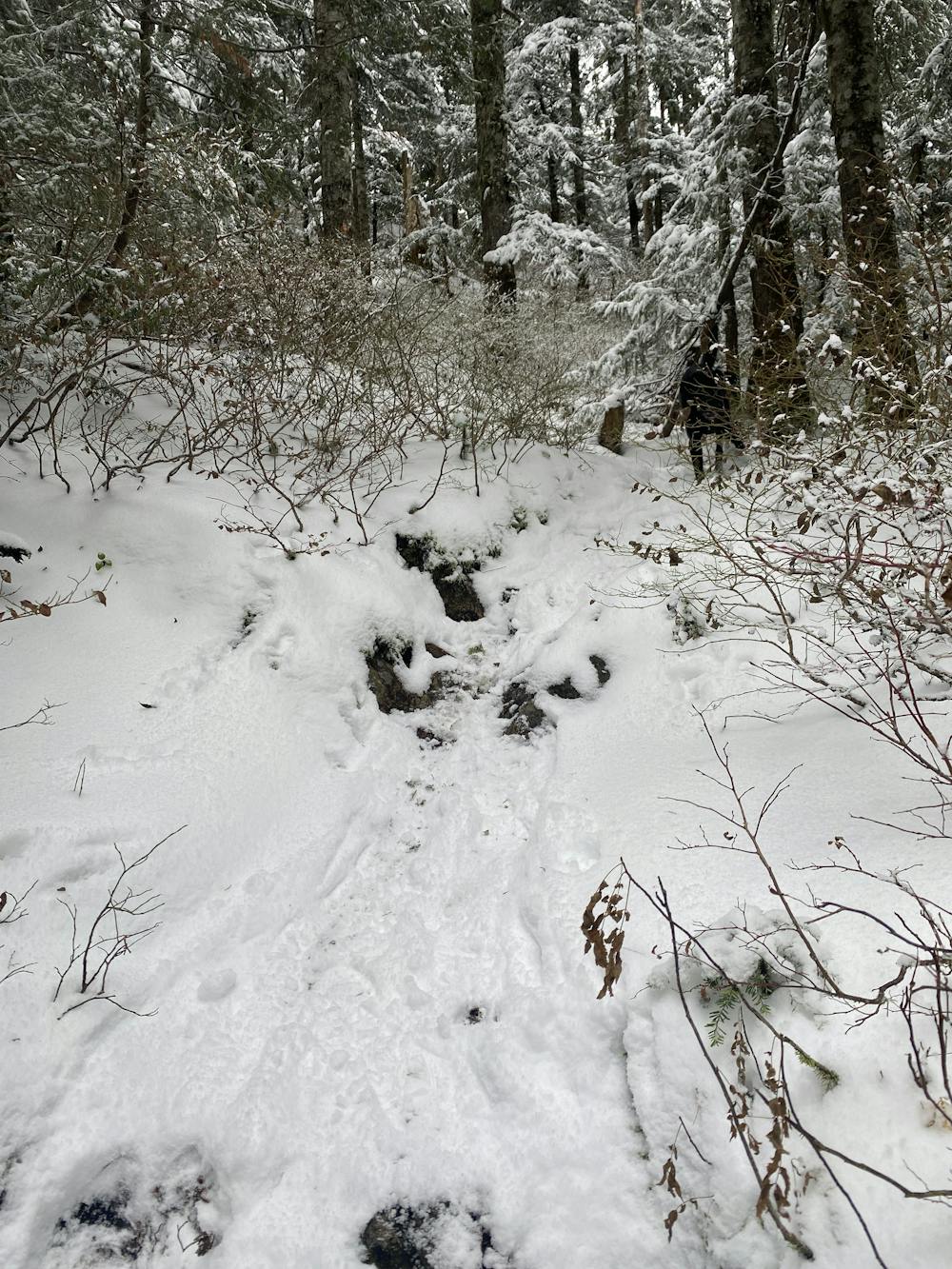
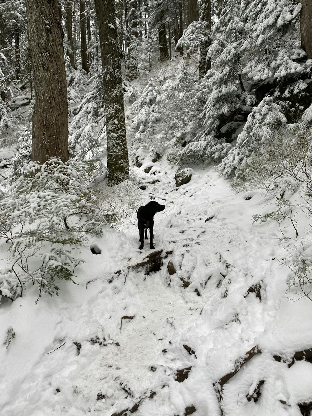
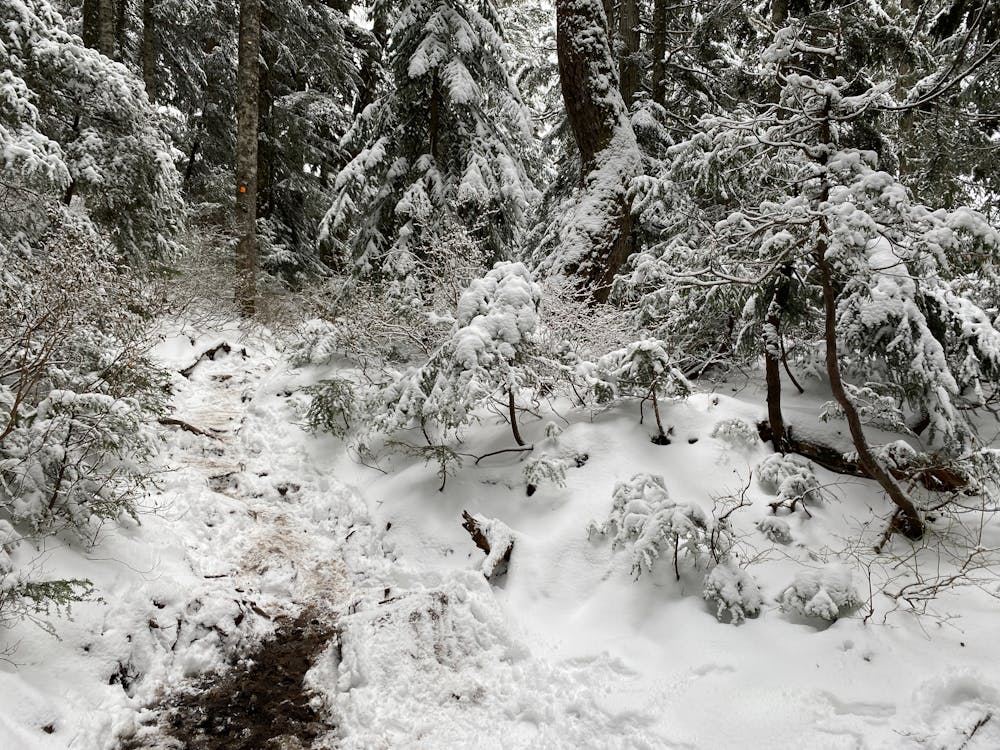
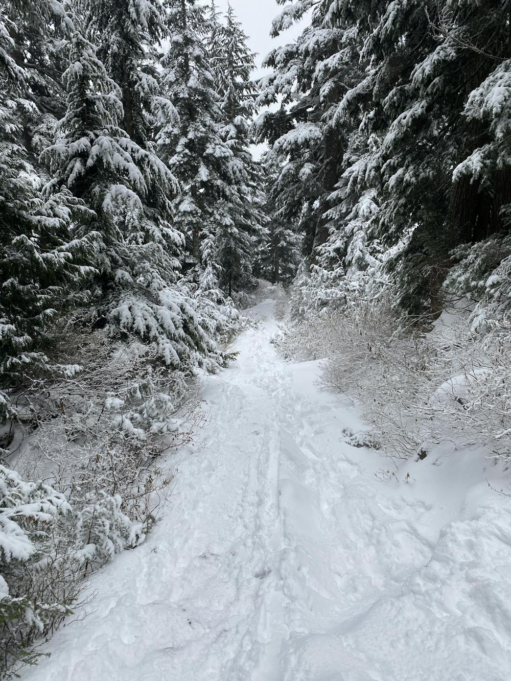
Follow the orange markers, and well travelled trail from the trailhead to the left of the mystery chair. It winds through the woods, up and down several small hills. There is a steep section just before the Dog Mountain Lookout. To connect with the Suicide Loop, go back down the steep section. In the little valley between hills, the suicide trail is off to the left as you head back towards the parking lot. It is faint, and often it can be tricky to pick up as people have stomped about in the snow. Look for the orange markers. If you've gone more than 50m from the junction, you gone too far. Retrace your steps and try again, lest you head too far left over the cliffy ridge.
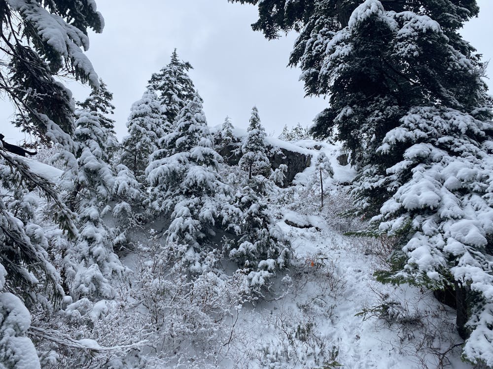
Once you find the orange markers the trail should be more obvious. It winds a long the ridge, up several steep slopes with ropes to make ascent easer. If it has been clear and very cold there is a good chance this section will be iced over, and a little tricky to ascend, especially if the ropes have been buried by snow.
In these conditions crampons and even an ice axe would be nice to have if you have taken a course on how to use this dangerous tools. This is a great place for budding mountaineerings to practice in a lower risk environment.
From here there is another descent, a steep climb to the high point, and good viewing spot. A steep descent returns along open terrain across the ridge, before turning back to the main Seymour Peak trail. This descent is wider, with plenty of traffic again, and returns to the parking lot.
Difficulty
Difficult
Medium Exposure (E2)

As well as the slope itself, there are some obstacles (such as rock outcrops) which could aggravate injury.
Remoteness

Close to help in case of emergency.