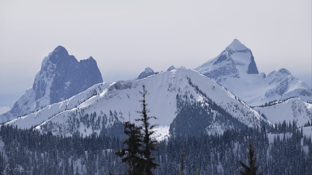
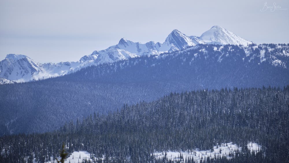
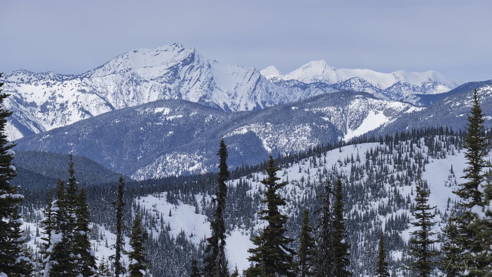
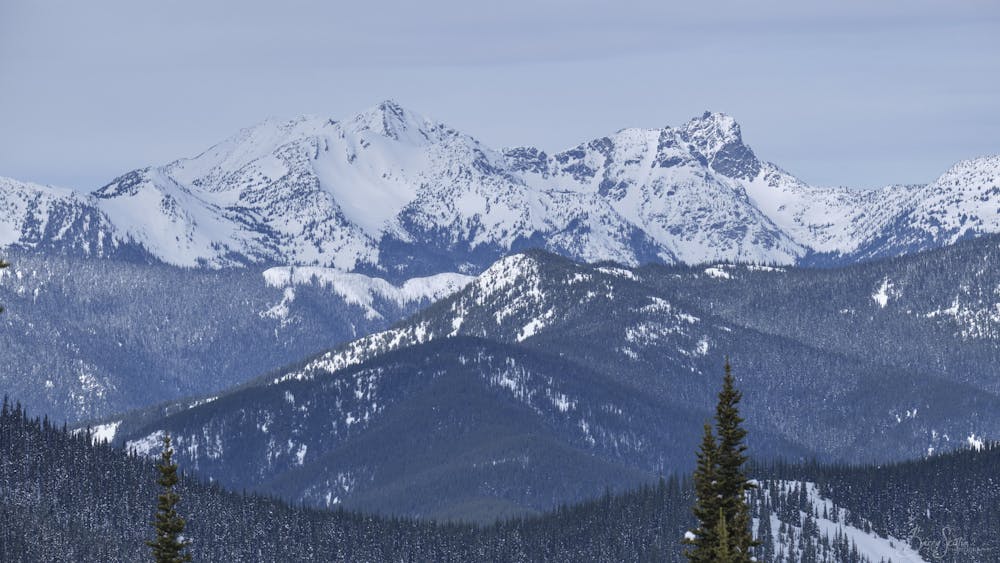
Memaloose ridge
DeadCool 20 Snowshoe
Snow Shoeing Difficult
- Distance
- 10 km
- Ascent
- 598 m
- Descent
- 598 m
- Duration
- 3-4 hrs
- Low Point
- 1.3 km
- High Point
- 1.8 km
- Gradient
- 25˚

This is a popular snow shoeing route which is generally considered to be difficult. It's not remote, it features medium exposure (e2) and is typically done between December and February. From a low point of 1.3 km to the maximum altitude of 1.8 km, the route covers 10 km, 598 vertical metres of ascent and 598 vertical metres of descent.
- •
- •
- •
- •
Description
Snowshoe from the highways work yard at the Allison Pass to the ridge of Mamaloose Peak, Manning Provincial Park.
Difficulty
Difficult
Medium Exposure (E2)

As well as the slope itself, there are some obstacles (such as rock outcrops) which could aggravate injury.
Remoteness

Close to help in case of emergency.