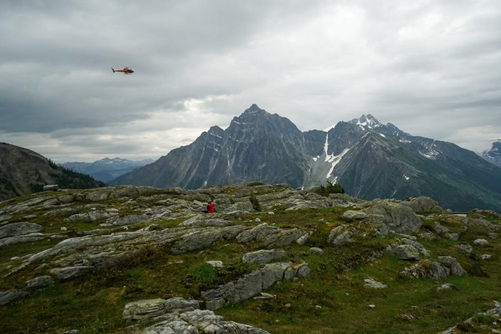
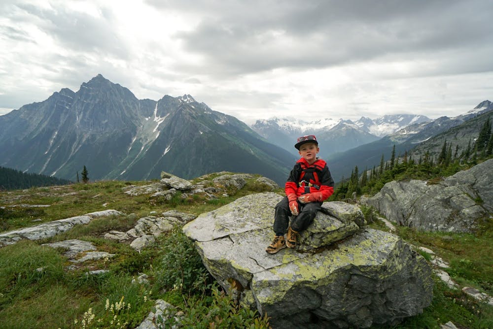
Hermit Meadows
Glacier National Park (Canada)
Steep but short with epic views.
Trail Running Difficult
- Distance
- 5.8 km
- Ascent
- 823 m
- Descent
- 825 m
- Duration
- 1-2 hrs
- Low Point
- 1.3 km
- High Point
- 2.1 km
- Gradient
- 19˚

This is a very steep climb for the distance covered. You will start climbing right away and gain lots of elevation for each KM. The trail starts off gradual but then starts getting steep. The beginning of the trail could deter people from continuing on, but if you can make it past the two very steep loose rock sections where a view is offered, you have done the hardest part. It does back off a bit in relation to how steep it is and isn't as aggressive near the top.

- •
- •
- •
- •
- •
- •
Description
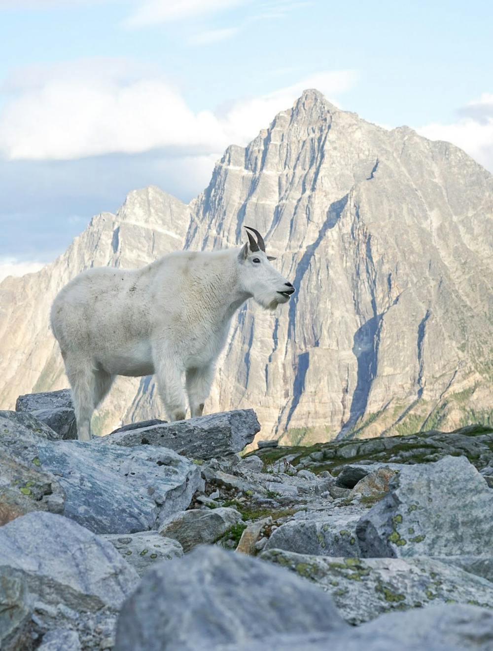
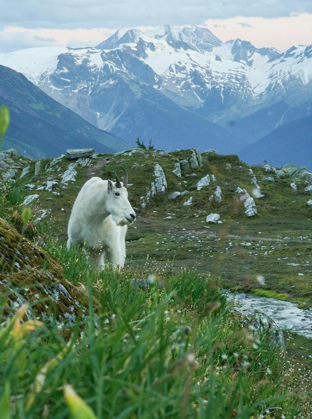
This hike does offer some unique rock stairs and a path to follow through the meadow. It has waterfalls and creeks running and tons of wildflowers, which is why you want to get up there.
There is a lower meadow that offers great views and a place to have a snack. You can continue on for a bit more and see the upper meadow where the campsites are, which gets you right into the rock and mountain exposure.
Do this route on a good weather day. No need working that hard for a nothing view.
Difficulty
Difficult
Medium Exposure

The trail contains some obstacles such as outcroppings and rock which could cause injury.
Remoteness
Away from help but easily accessed.