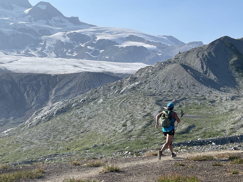
Ramport Ponds / Mamquam Lakes - Garibaldi Provincial Park
A 42km return route through Garibaldi Provincial Park.
Trail Running Moderate
- Distance
- 19 km
- Ascent
- 1.1 km
- Descent
- 582 m
- Duration
- 3-4 hrs
- Low Point
- 975 m
- High Point
- 1.6 km
- Gradient
- 8˚

This is a popular trail running route which is generally considered to be moderate. It's remote, it features low exposure and is typically done between July and October. From a low point of 975 m to the maximum altitude of 1.6 km, the route covers 19 km, 1112 vertical metres of ascent and 582 vertical metres of descent.
Description
A well maintained trail makes a lot of this route very runnable. The trail begins at the Red Heather Parking lot and is 19km to the camping at Ramport Ponds (reservation required.) Continue on for another 2km down to Mamquam Lakes if desired (no camping available there.)
Difficulty
Moderate
Low Exposure

The path is on completely flat land and potential injury is limited to falling over.
Remoteness

Away from help but easily accessed.