Rubble Creek to Whistler Village
Whistler
Whistler Blackcomb
Scenic route through Garibaldi Provincial Park every trail runner should have on their list. 🏔️
Trail Running Difficult
- Distance
- 64 km
- Ascent
- 3.6 km
- Descent
- 3.5 km
- Duration
- 1 day +
- Low Point
- 572 m
- High Point
- 2.2 km
- Gradient
- 13˚

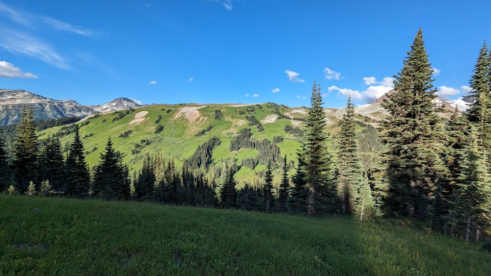
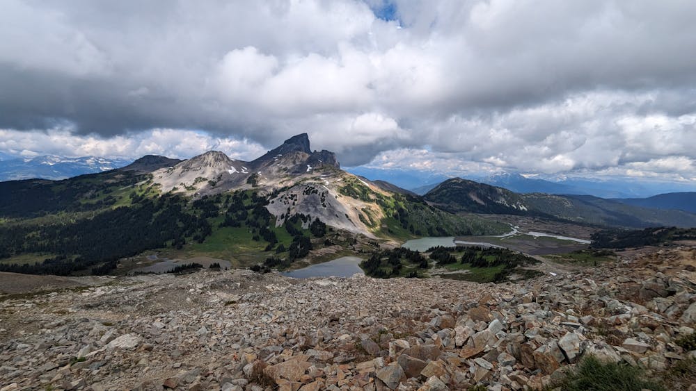
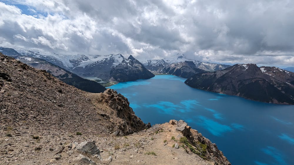
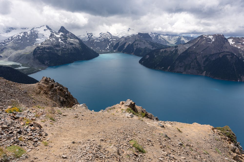
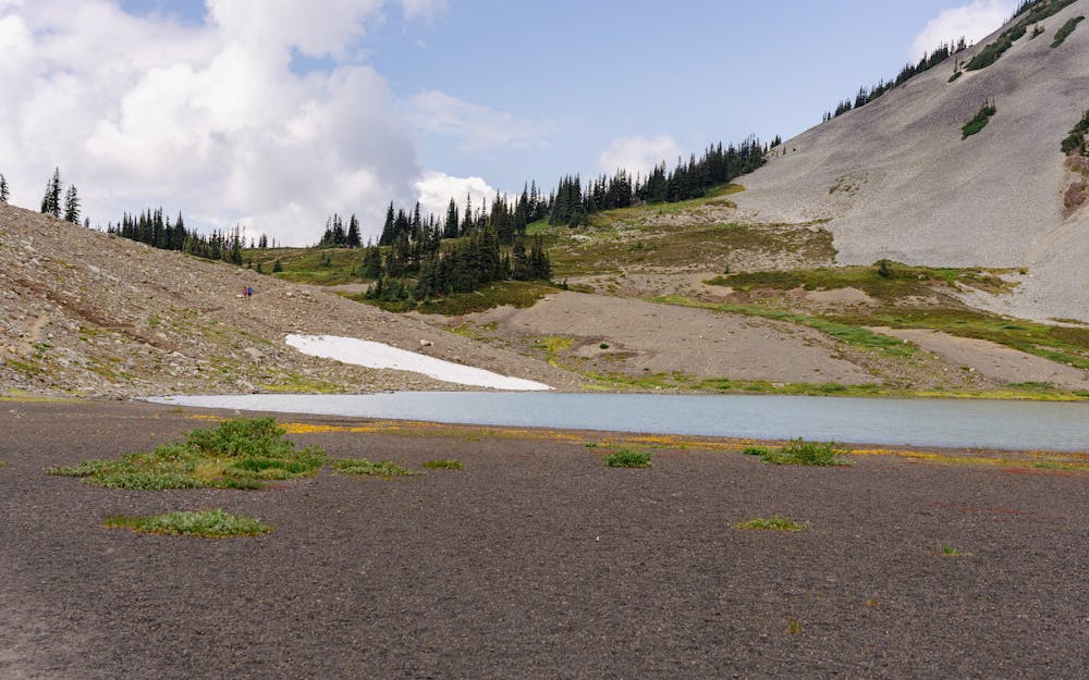
The route starts at the Rubble Creek parking lot about 25 mins north of Squamish. The climb up to Panorama Ridge through Garibaldi Lake and a nice double track with switch backs most of the way up.
- •
- •
- •
- •
- •
- •
- •
- •
Description
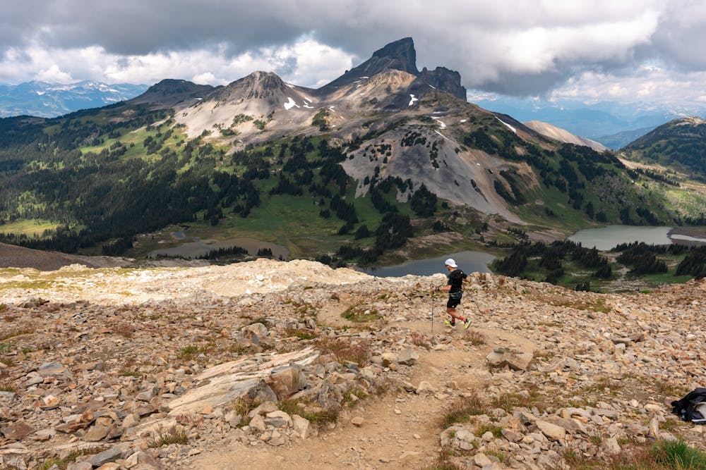
From Panorama you down into the Cheakamus Valley where you can have lunch in the parking lot before headed up some old bike trails up on the Whistler side of the valley. These trails are quite possibly the gnarliest trails you'll have ever see with near vertical rock slabs into endless steep dusty chutes or log skinnies with 90 degree landings. Water sources are minimal on this section so make sure to refill at the creek near the parking lot before heading up to Whistler Peak. After reaching Whistler Peak you head down the backside onto the High Note trail.
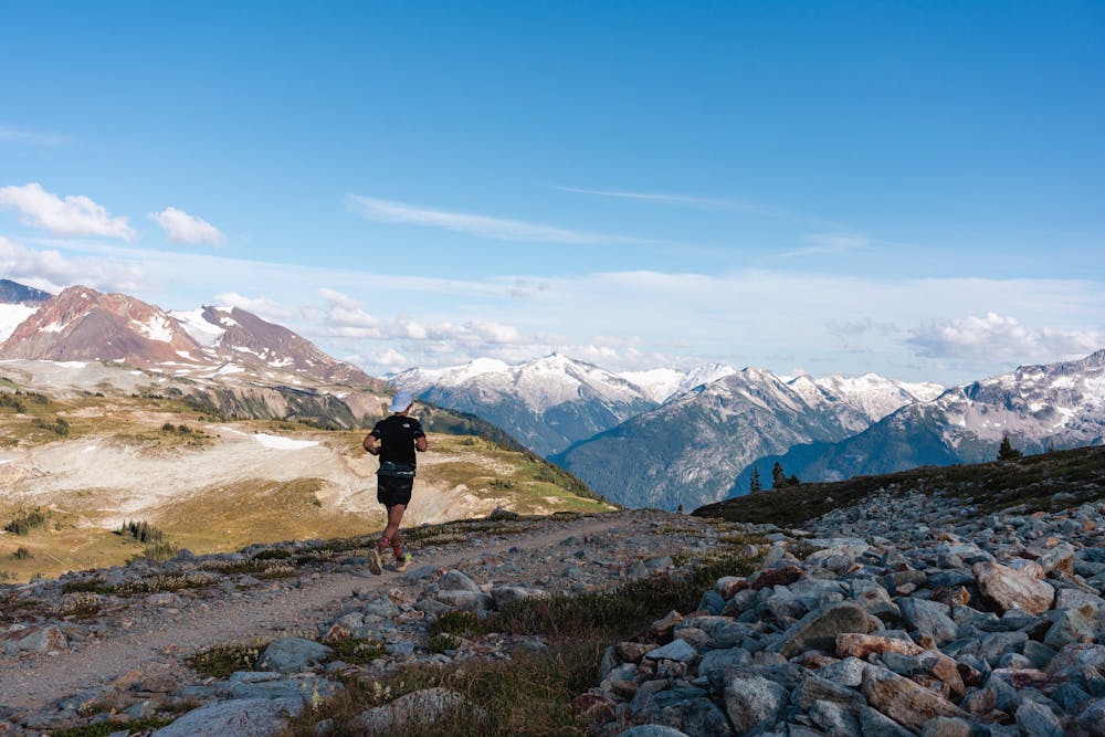
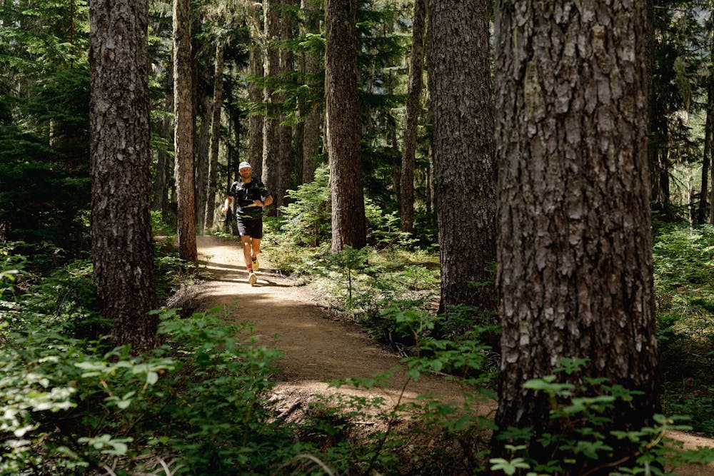
The High Note trail is the highlight of the run with a beautiful view of Mount Garibaldi and the surrounding glaciers. The trail is a consisted side hill with mellow ups and down and overall great flow. The final stretch, from Flute the Whistler backcountry/Singing Pass has great views. The trail snakes around the mountain and you begin the final descent into Whistler Village.
Burgers and beer await you at the 'finish line'!
Difficulty
Difficult
Medium Exposure

The trail contains some obstacles such as outcroppings and rock which could cause injury.
Remoteness
Away from help but easily accessed.