Surprise-Sunshine
Sunshine Village
Just another day in the mountains
Also in Alberta, Canada
Trail Running Difficult
- Distance
- 58 km
- Ascent
- 2.7 km
- Descent
- 1.8 km
- Duration
- 1 day +
- Low Point
- 1.2 km
- High Point
- 2.4 km
- Gradient
- 12˚
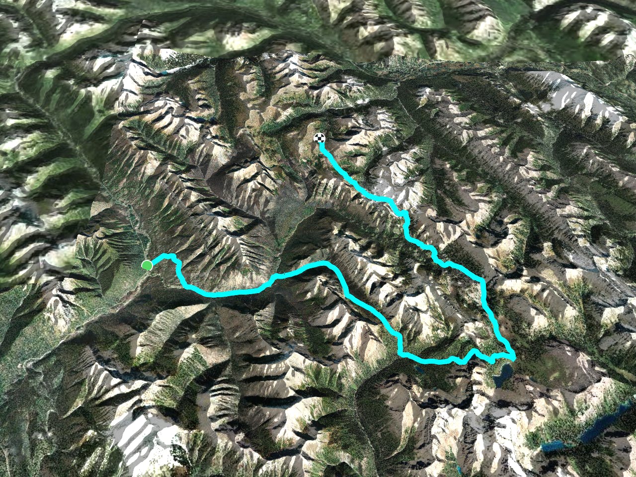
This is a popular trail running route which is generally considered to be difficult. It's very remote, it features low exposure and is typically done between July and September. From a low point of 1.2 km to the maximum altitude of 2.4 km, the route covers 58 km, 2736 vertical metres of ascent and 1804 vertical metres of descent.
Description
60 km of wild trail and mountain running in the Canadian Rockies through Kootenay National Park, Mt. Assiniboine Provincial Park and Banff National Park.
Difficulty
Difficult
Low Exposure

The path is on completely flat land and potential injury is limited to falling over.
Remoteness

Little chance of being seen or helped in case of an accident.