The Big Chill
Cultus Lake to Chilliwack Lake and back.
Trail Running Severe
- Distance
- 177 km
- Ascent
- 8.4 km
- Descent
- 8.4 km
- Duration
- 1 day +
- Low Point
- 45 m
- High Point
- 2.2 km
- Gradient
- 16˚

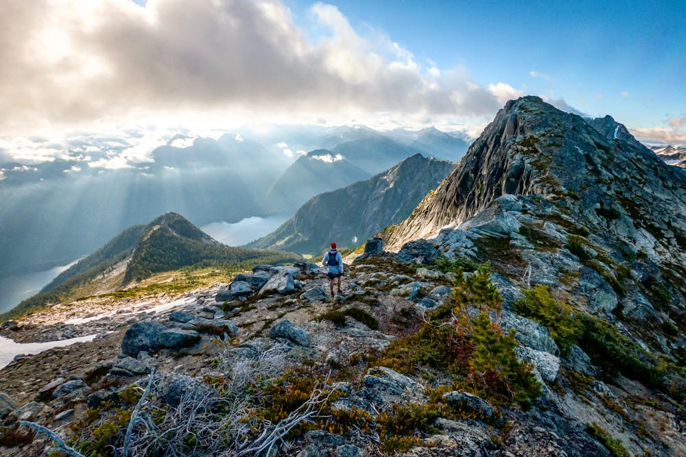
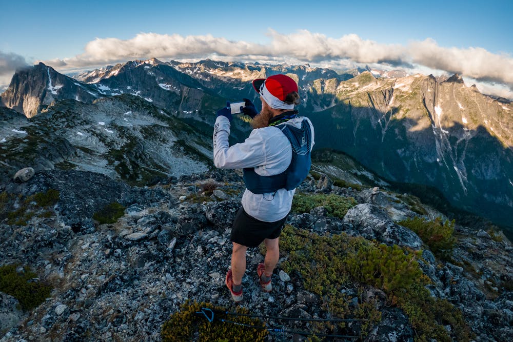
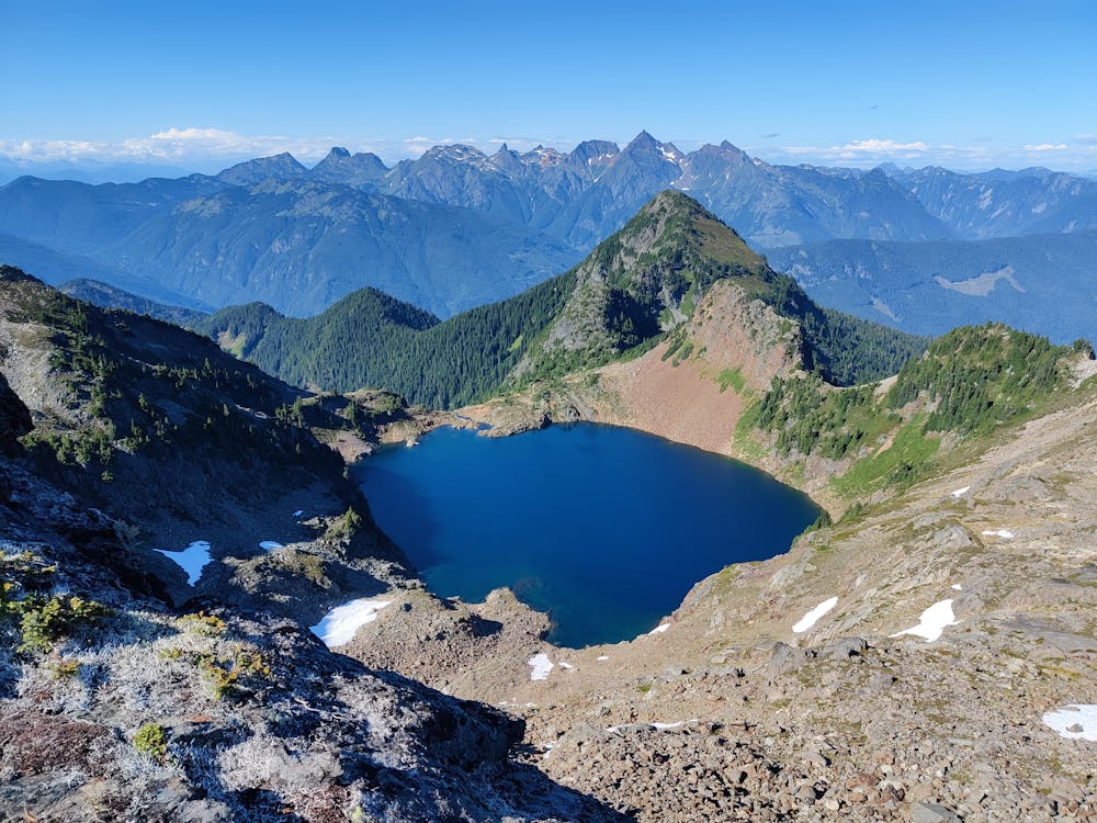
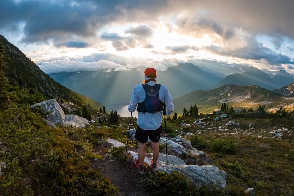
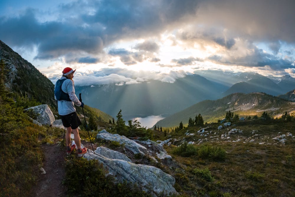
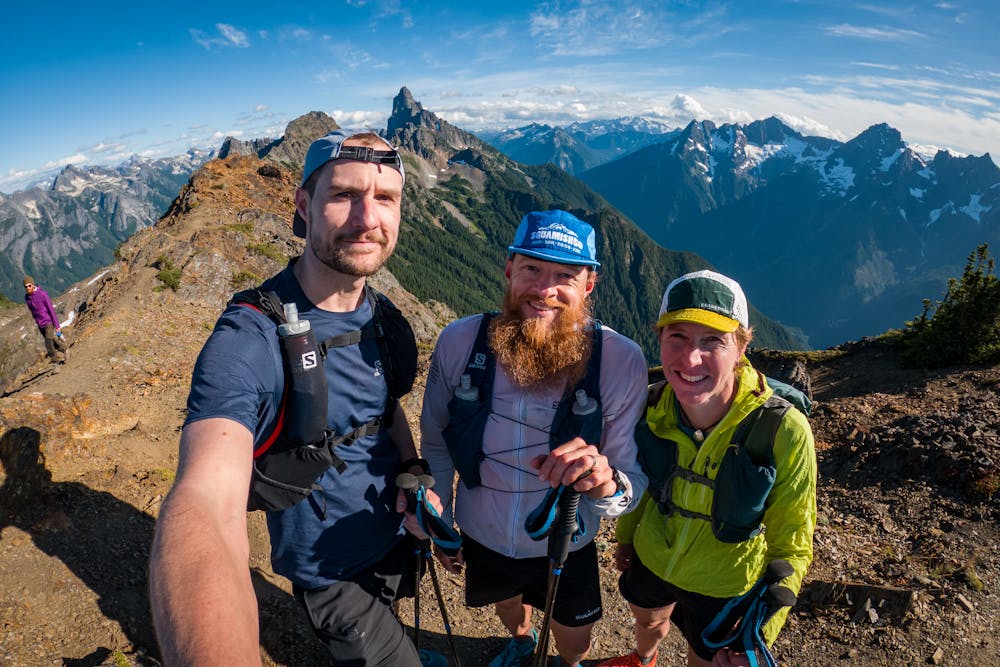
This is a popular trail running route which is generally considered to be severe. It's remote, it features medium exposure and is typically done between August and September. From a low point of 45 m to the maximum altitude of 2.2 km, the route covers 177 km, 8399 vertical metres of ascent and 8396 vertical metres of descent.
- •
- •
- •
- •
- •
- •
- •
Description
110 miles with over 30,000ft via four major mountain passes in Chilliwack
Difficulty
Severe
Medium Exposure

The trail contains some obstacles such as outcroppings and rock which could cause injury.
Remoteness
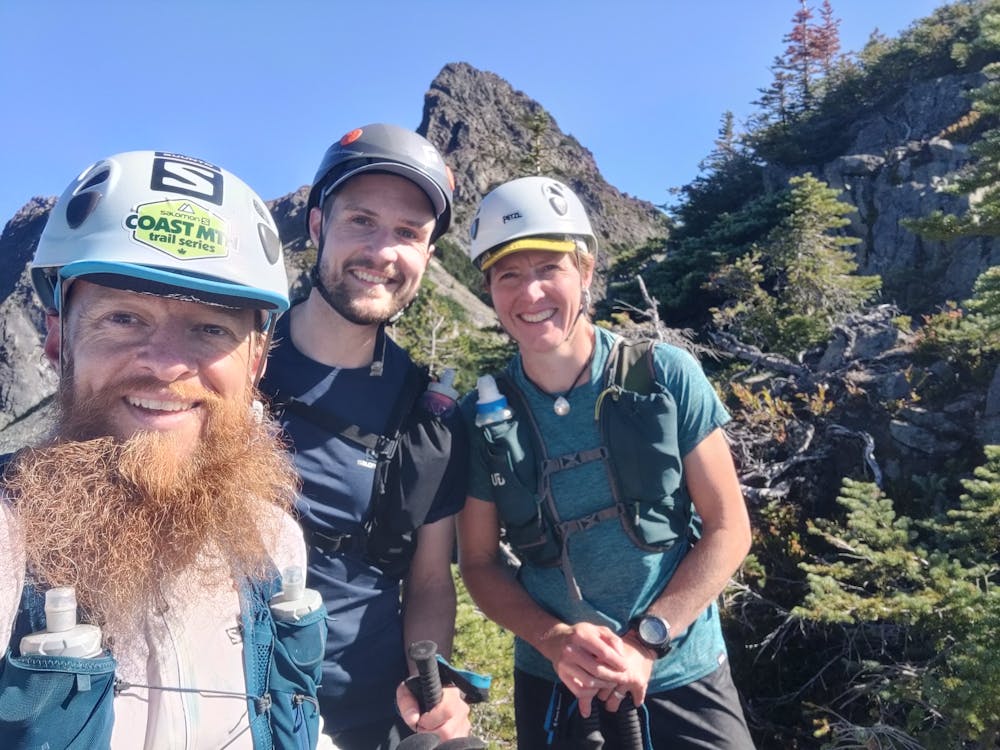
Away from help but easily accessed.