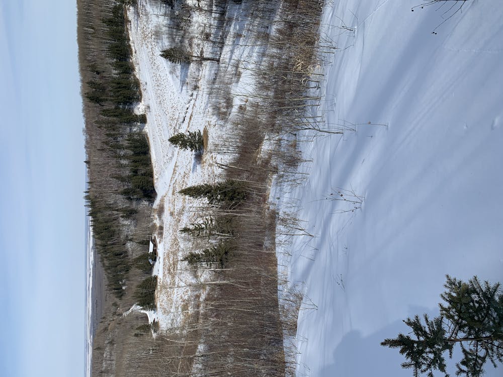
Slopes - A morning backcountry skiing
Mt Agassiz Manitoba - Back Country Skiing
Ski Touring Moderate
- Distance
- 3.1 km
- Ascent
- 229 m
- Descent
- 241 m
- Duration
- 1-2 hrs
- Low Point
- 499 m
- High Point
- 636 m
- Gradient
- 19˚

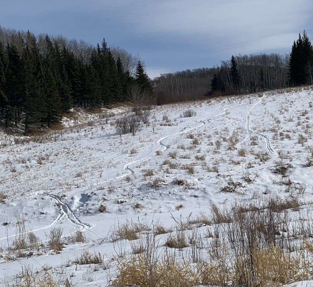
This is a popular ski touring route which is generally considered to be moderate. It's very remote, it features medium exposure (e2) and is typically done between December and March. From a low point of 499 m to the maximum altitude of 636 m, the route covers 3.1 km, 229 vertical metres of ascent and 241 vertical metres of descent. You'll need skins to complete it safely.
- •
- •
- •
- •
- •
- •
Description
Mt Agassiz Manitoba - Back Country Skiing
Difficulty
Moderate
Slopes become slightly steeper at around 25-30 degrees.
Medium Exposure (E2)

As well as the slope itself, there are some obstacles (such as rock outcrops) which could aggravate injury.
Remoteness

Little chance of being seen or helped in case of an accident.
Best time to visit
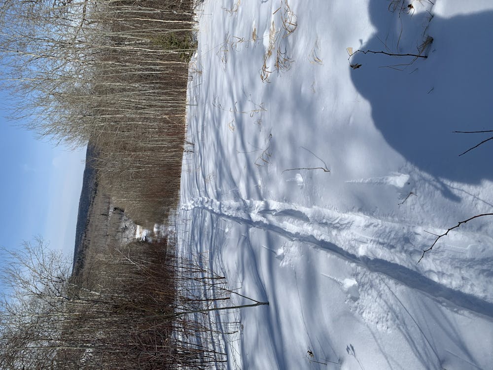
Features
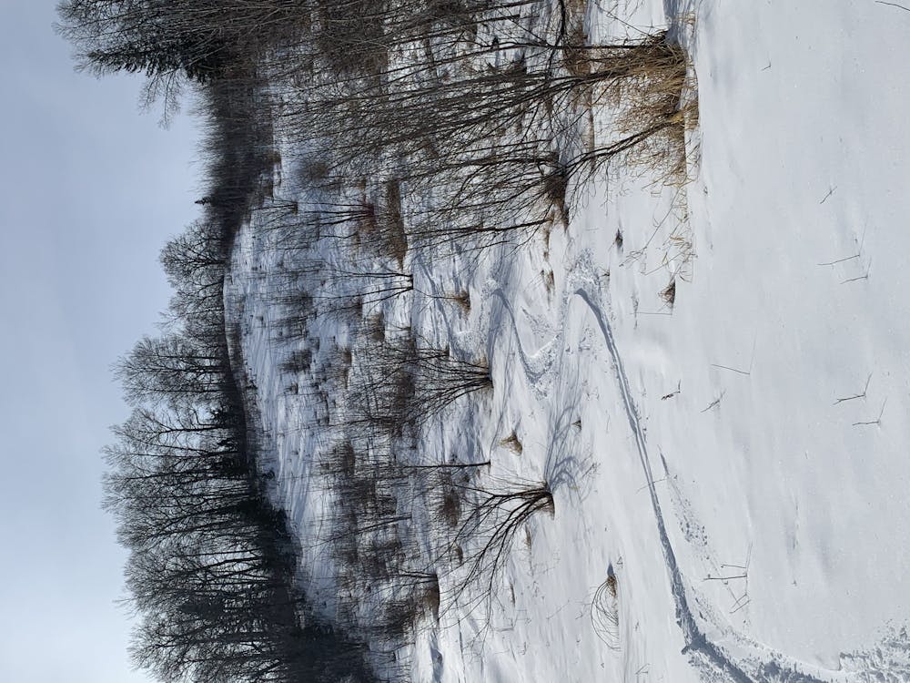
- Alpine
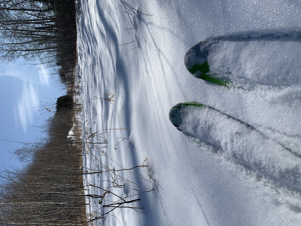
- Tree Skiing
- Ski Mountaineering
Equipment required
- Skins