Skyline | C'est Notre Monde
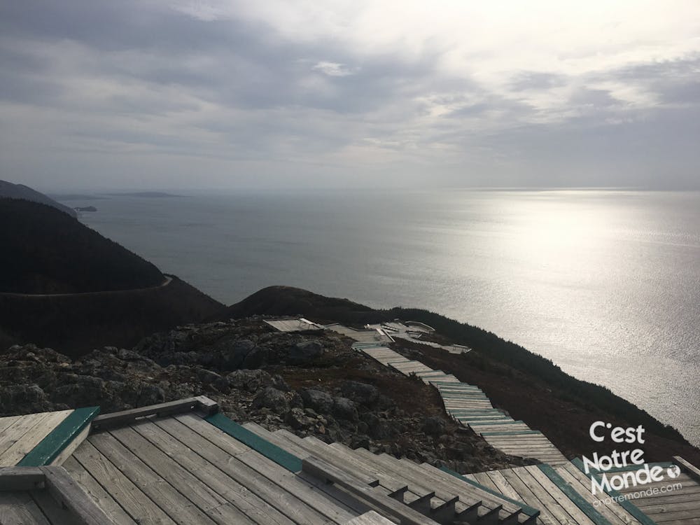
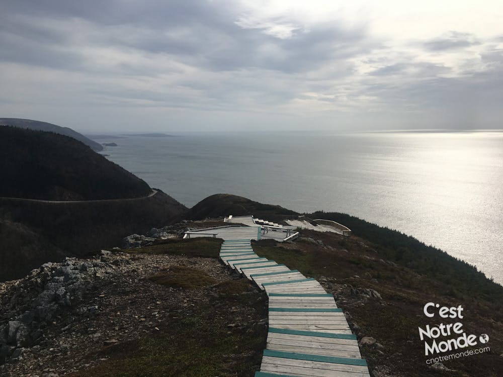
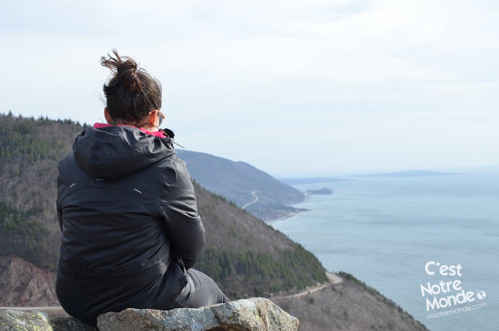
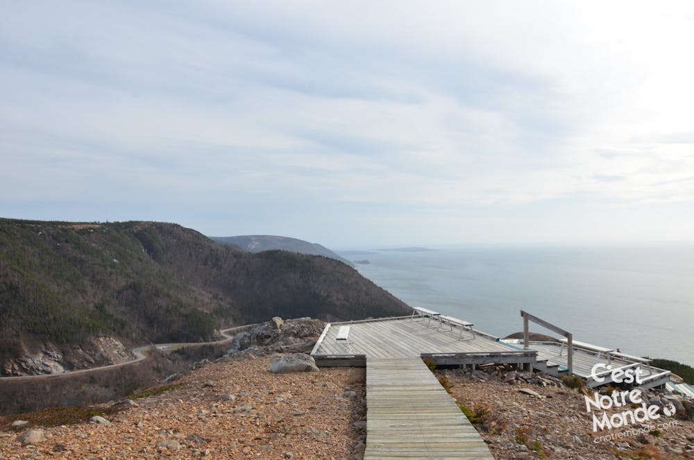
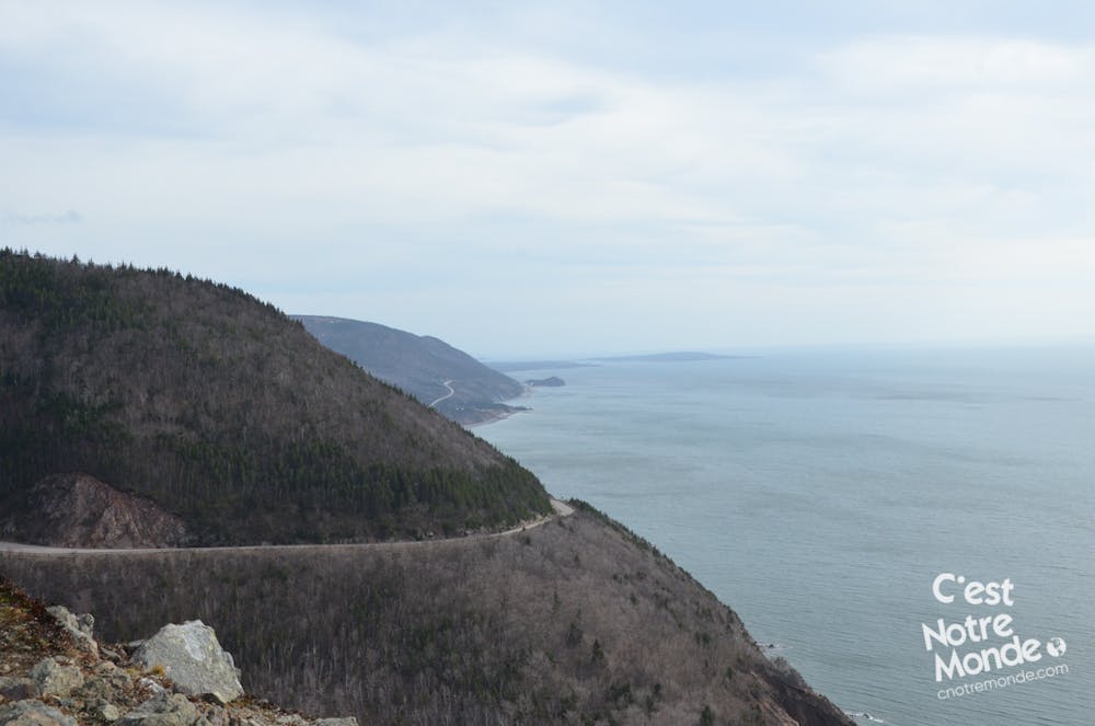
Skyline Trail, sentier sur île du Cap Breton et le long du Cabot Trail Rd
Hiking Easy
- Distance
- 8.4 km
- Ascent
- 225 m
- Descent
- 224 m
- Duration
- 2-3 hrs
- Low Point
- 251 m
- High Point
- 406 m
- Gradient
- 9˚

This is a popular hiking route which is generally considered to be easy. It's not remote, it features low exposure and is typically done between April and October. From a low point of 251 m to the maximum altitude of 406 m, the route covers 8.4 km, 225 vertical metres of ascent and 224 vertical metres of descent.
- •
- •
- •
- •
- •
Description
https://www.cnotremonde.com/randonnees/un-petit-detour/skyline-trail/
Le Skyline Trail est un sentier de randonnée à ne pas manquer sur île du Cap Breton en Nouvelle-Écosse. Il est situé le long de la prestigieuse route du Cabot Trail.
Difficulty
Easy
Walking along a well-kept trail that’s mostly flat. No obstacles are present.
Low Exposure

The path is on completely flat land and potential injury is limited to falling over.
Remoteness
Close to help in case of emergency.
Best time to visit
Features
- Alpine
- Wildlife
- Historical
- Picturesque
- Wild flowers
- Family friendly
- Forestry or heavy vegetation