Road to Ovayok's Summit
From Cambridge Bay, Nunavut to Ovayok Territorial Park - Walk
Hiking Difficult
- Distance
- 18 km
- Ascent
- 475 m
- Descent
- 292 m
- Duration
- 4-5 hrs
- Low Point
- 7 m
- High Point
- 198 m
- Gradient
- 7˚

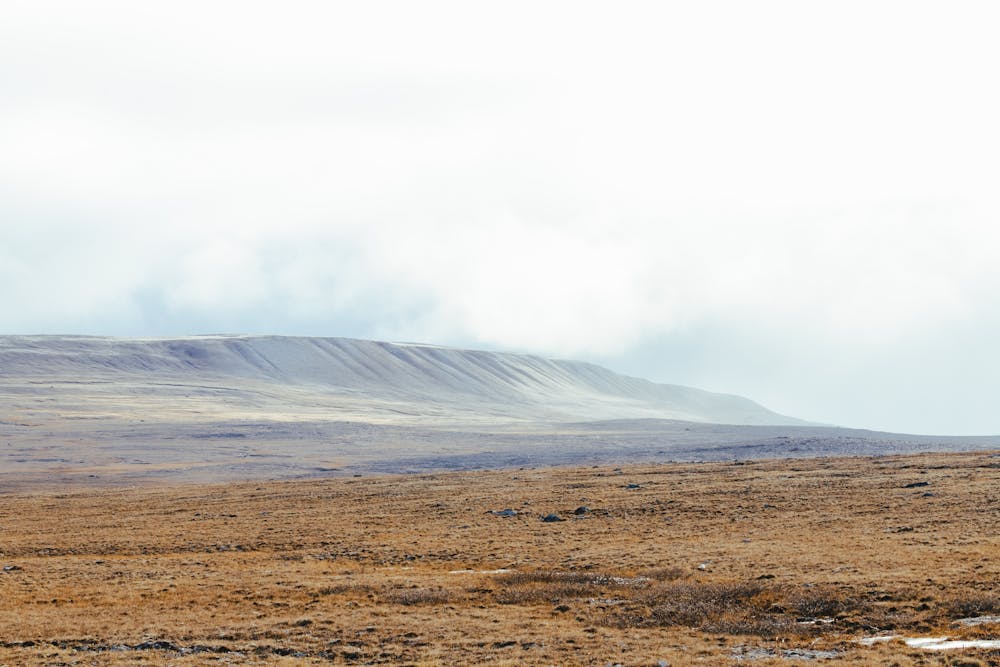
This is a great route for anybody new arriving to Cambridge Bay. You'll get to walk the tundra and there's a road all the way to the foot of Ovayok if you don't feel like walking the gravel road all the way there (walking makes the hike a full day adventure). Beware of predators although none are often seen, if on foot. Please note that emergency services are far away and always make sure to bring a method of communication. There is LTE signal all the way to Ovayok. Compasses are ineffective.
Difficulty
Difficult
Hiking trails where obstacles such as rocks or roots are prevalent. Some obstacles can require care to step over or around. At times, the trail can be worn and eroded. The grade of the trail is generally quite steep, and can often lead to strenuous hiking.
Medium Exposure

The trail contains some obstacles such as outcroppings and rock which could cause injury.
Remoteness

Little chance of being seen or helped in case of an accident.
Best time to visit
Features
- Historical
- Picturesque
- Summit Hike
- Dog friendly
- Wild flowers