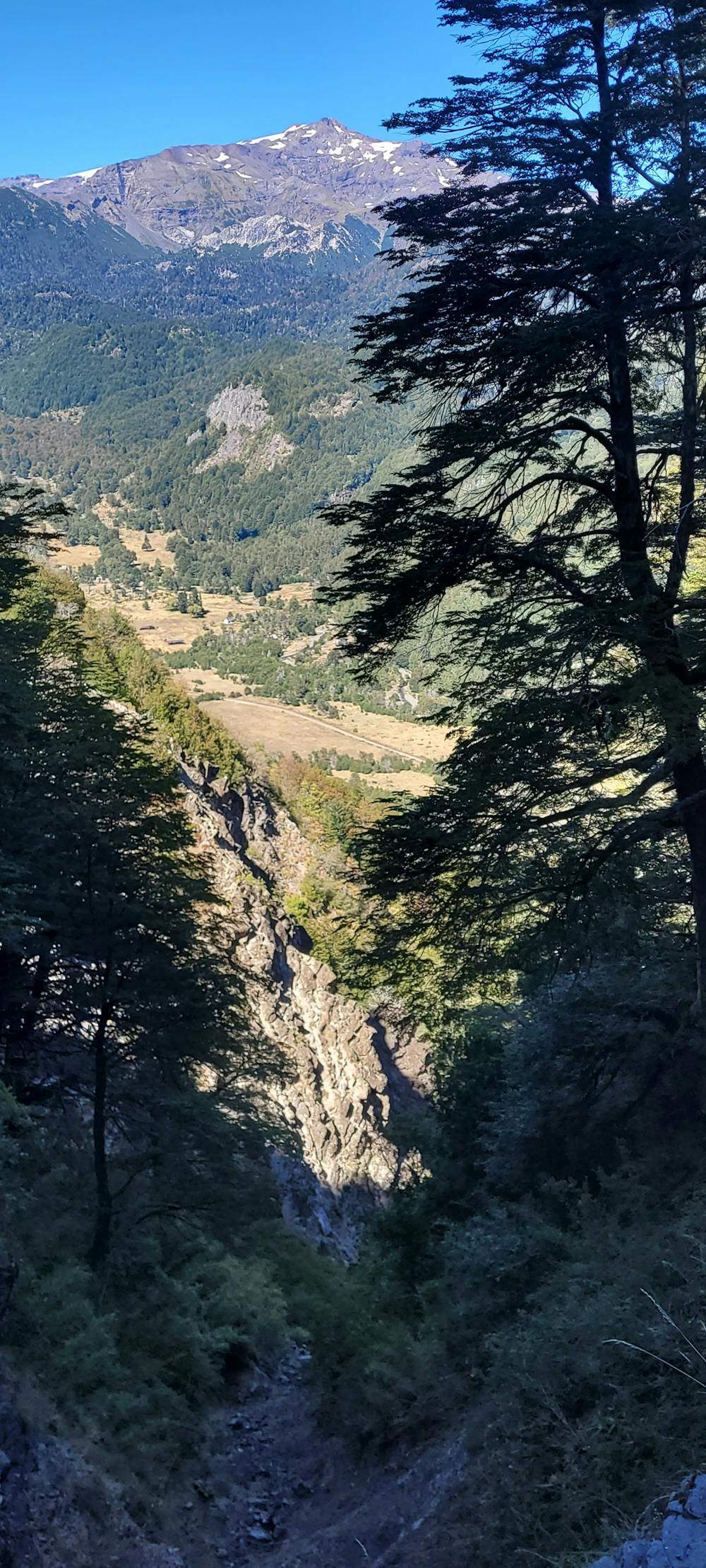
Directa Cerro Caracoles
Direct accent to cerro Caracoles by West Face
Alpine Climbing Difficult
- Distance
- 5.9 km
- Ascent
- 540 m
- Descent
- 563 m
- Low Point
- 1 km
- High Point
- 1.5 km
- Gradient
- 19˚

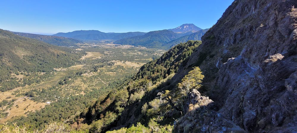
This is a popular alpine climbing route which is generally considered to be difficult. It's not remote, it features medium exposure and is typically done between November and February. From a low point of 1 km to the maximum altitude of 1.5 km, the route covers 5.9 km, 540 vertical metres of ascent and 563 vertical metres of descent. You'll need ice axe to complete it safely.

- •
- •
- •
- •
- •
- •
- •
- •
- •
- •
- •
- •
- •
- •
- •
Description
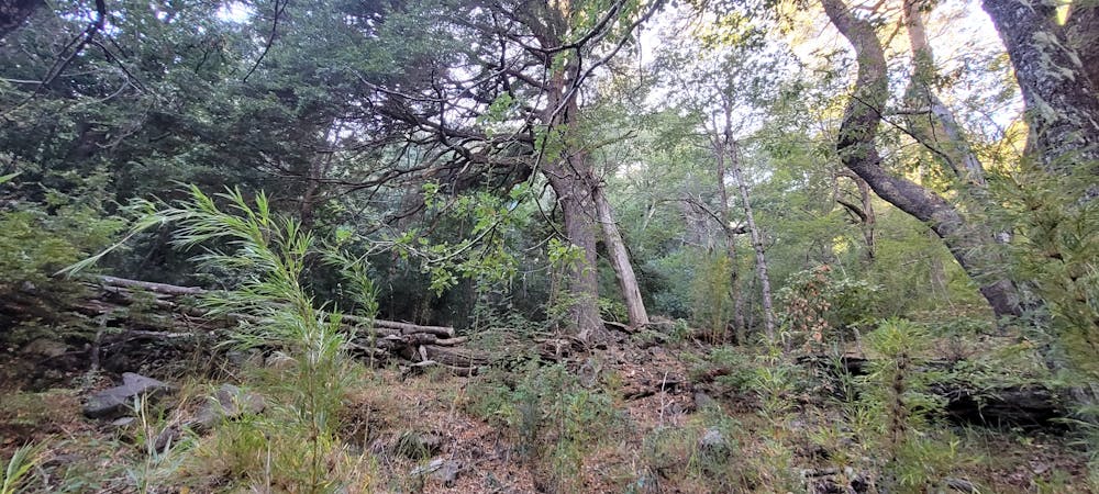
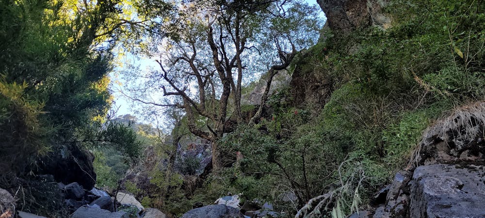
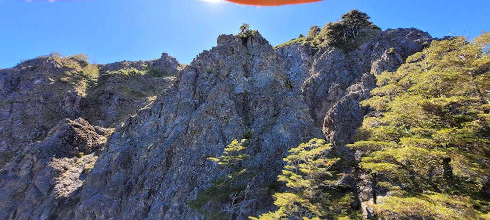
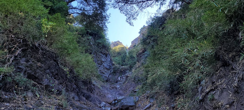
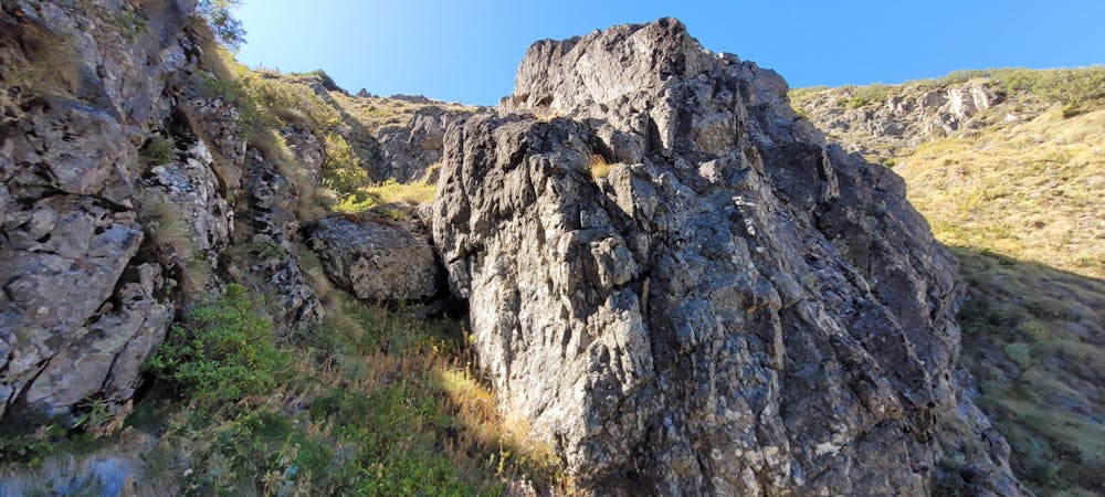
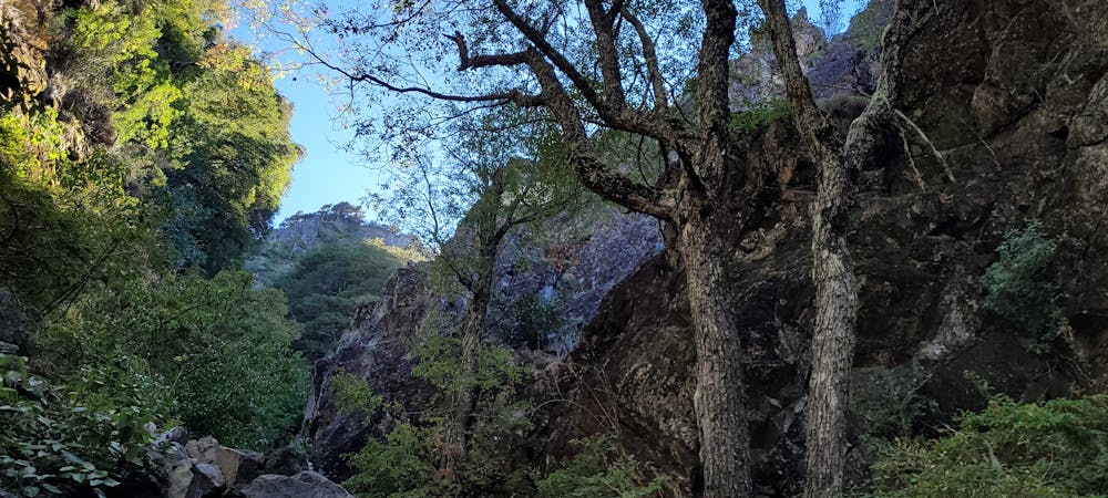
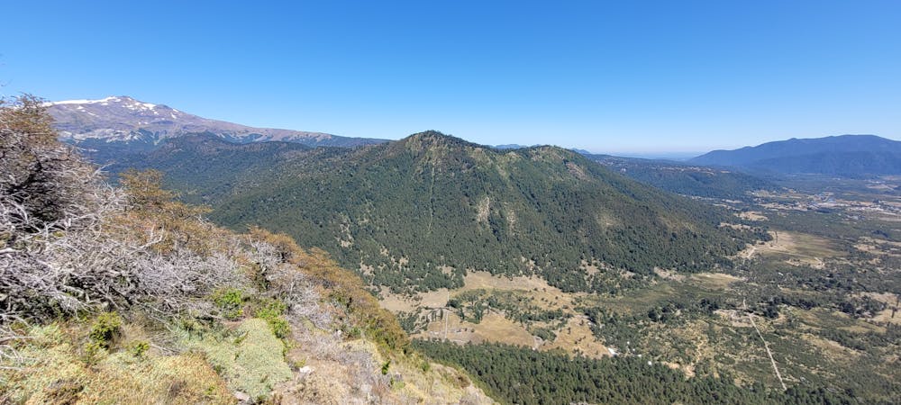
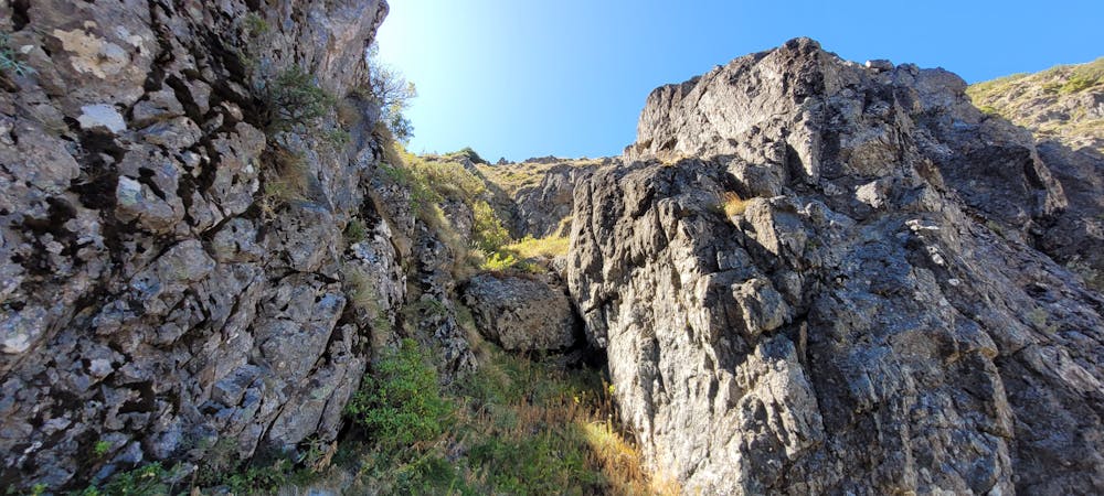
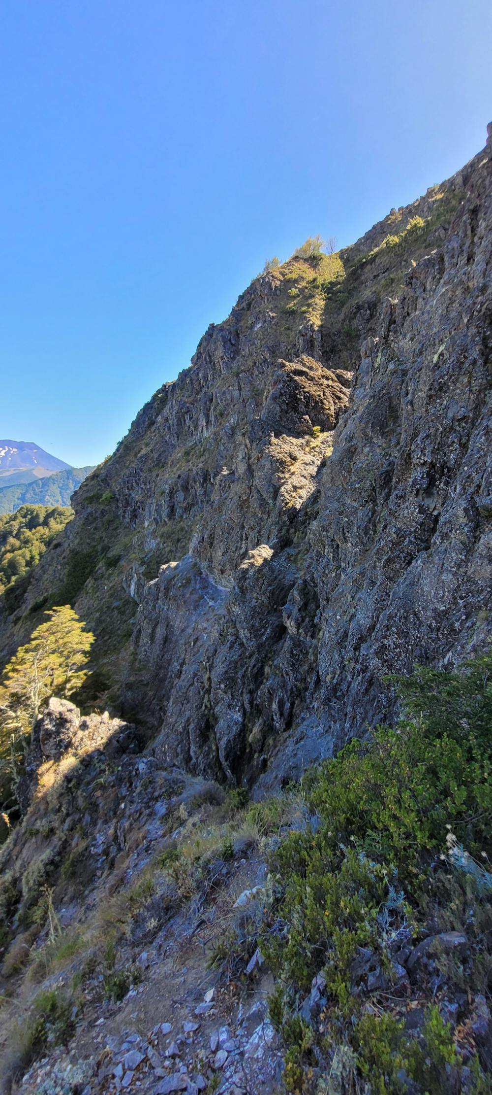
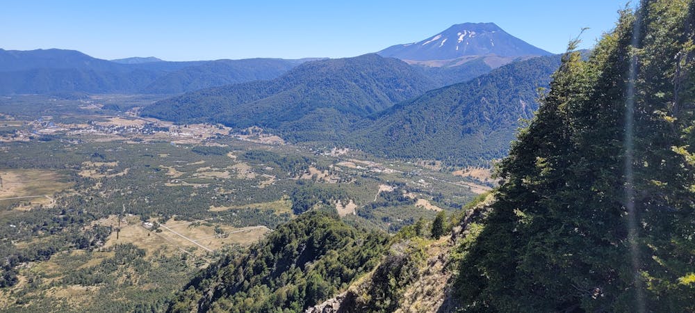
Climb by the central gully. Lots of loose rock and scramble. The descent is by the south ridge which is not recommended because of the tremendous bushwhacking required.
Difficulty
Difficult
The beginning of truly technical terrain which might involve pitched climbing on rock and/or ice, exposed terrain and complex route finding in ascent and descent. Equivalent to AD, AD+
Medium Exposure

The route features some exposed and/or difficult to protect sections.
Remoteness

Close to help in case of emergency.
Best time to visit
Equipment required
- Ice axe