10 routes · Resort Ski Touring · Ski Touring
Spring skiing paradise!
Resort Ski Touring Difficult

This iconic volcano, with its perfect cone shape, named "Rukapillán" in Mapuche language - which means "House of the spirit" - is one of the most active volcanoes in South America.
Its characteristics and the impressive view over the town of Pucón and Lake Villarrica make it simply an unmissable volcano, and one of the most visited in the area.
The route itself has no significant difficulty or technical sections, but as it is exposed to a lot of wind and there is usually ice, meaning that conditions change throughout the season. That is why the ascent is not only a matter of fitness; the weather influences a lot and it is recommended to have some experience trekking on snow with crampons and ice axe.
To start the tour you can access the randone ticket where you go up Juncalillo and then chairlift number 2. From there you can see the backcountry bca sign and start your exit to chairlift number 5. At the top of the chairlift 5, continue to the left (southwest) towards the "capilla" (chapel) where you can take a break.
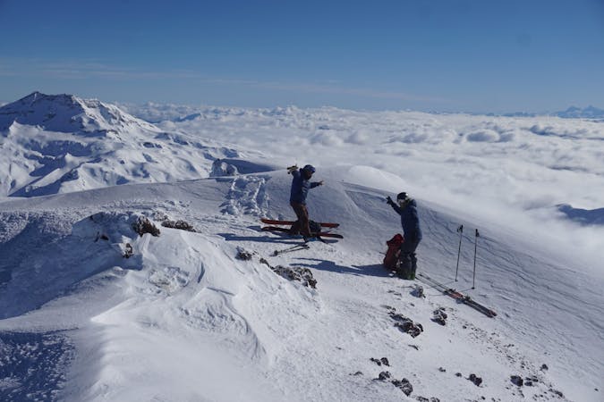
From there continue up towards the obvious plateau and then the last ridge to reach the top. At the top you will see a continuous fumarole and on many occasions it is possible to see the lava inside the crater. If you turn back to the valley you will be able to see the Villarrica lake and the Lanín, Llaima, Quetrupillán and Lonquimay volcanoes.
It is recommended to go down the same way as you came up so as to avoid the glaciers and crevasses on the other side of the volcano, especially in spring.
Difficult
10 routes · Resort Ski Touring · Ski Touring