10 routes · Resort Ski Touring · Ski Touring
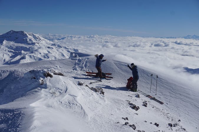
North face Lanin volcano
Ski Touring Difficult

Ascending Lanin is quite a physical challenge with its 2,500 meter drop. It is possible to ascend it for the day in a very long day or make an intermediate camp. Skiing from its summit requires a very technical skier, usually having a lot of ice and penitents. It is advisable for skiers who are not so extreme to place the boards lower down, from where skiing is considered feasible depending on the conditions and the level of the athlete.
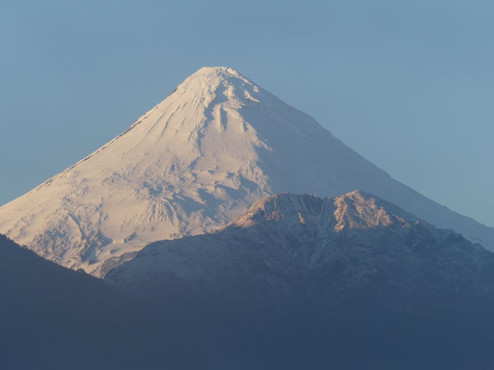
The normal route goes through Argentina, and the other classic routes through Chile go through the northwest side, it does not require more technical knowledge but you do have to be physically prepared. On the other hand, there is the south face of Lanín, where it is possible to see the glacier farm bordering the edge throughout the year. To climb this route requires more technical knowledge as it has sections of ice climbing.
Follow @andesmagazine on Instagram for more reviews about ski, climbing, and mountaineering routes in the South American Andes. If you need further questions, or local guiding contact us in: https://andesmagazine.com/
Difficult
Serious gradient of 30-38 degrees where a real risk of slipping exists.

In case of a fall, death is highly likely.

In the high mountains or remote conditions, all individuals must be completely autonomous in every situation.
10 routes · Resort Ski Touring · Ski Touring