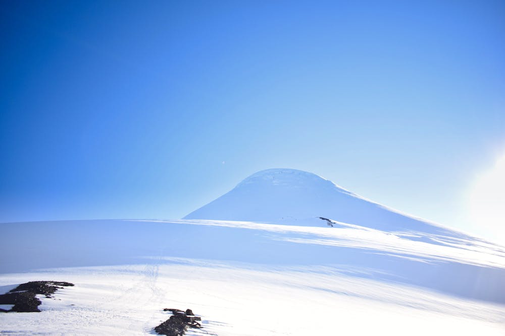
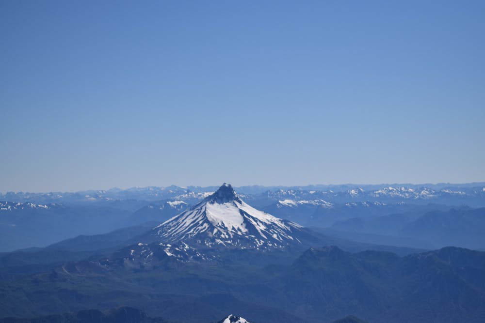
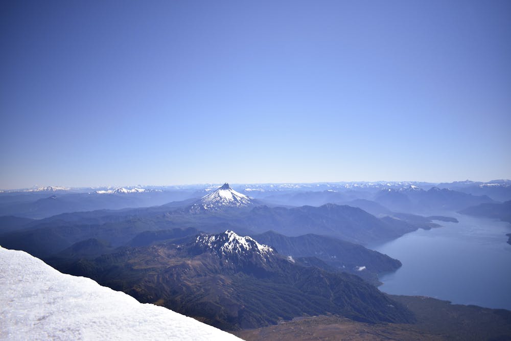
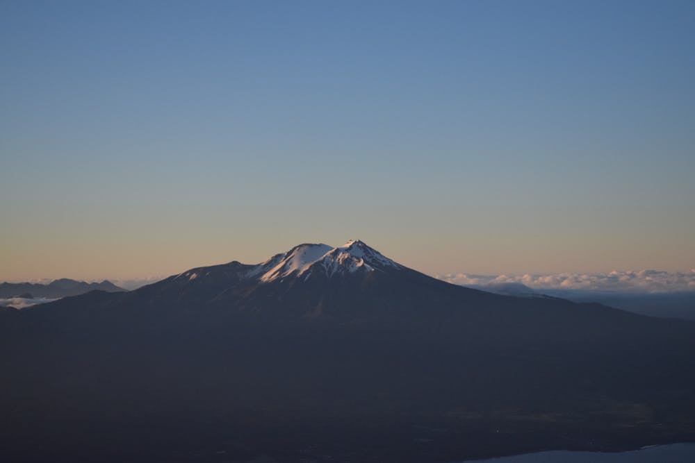
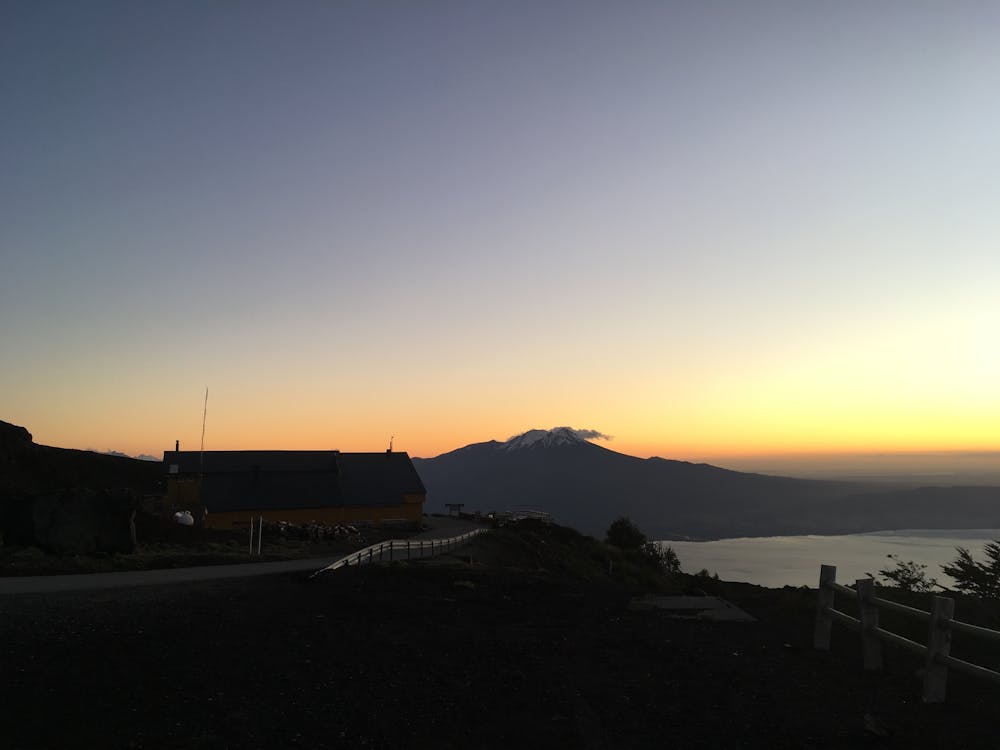
Volcan Osorno
Iconic volcano in Lagos, Chile
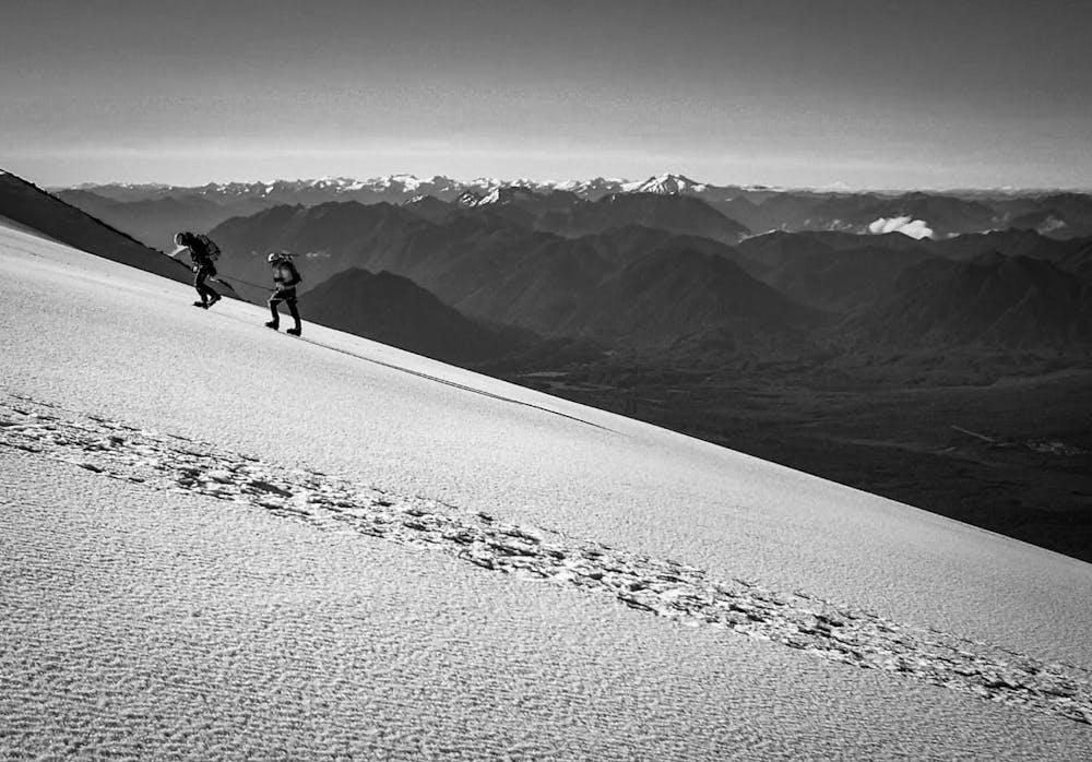
Alpine Climbing Difficult
- Distance
- 9.5 km
- Ascent
- 1.5 km
- Descent
- 1.5 km
- Low Point
- 1.2 km
- High Point
- 2.7 km
- Gradient
- 28˚

Osorno Volcano is a 2,652-metre (8,701 ft) tall conical stratovolcano lying between Osorno Province and Llanquihue Province, in Los Lagos Region of Chile. It stands on the southeastern shore of Llanquihue Lake, and also towers over Todos los Santos Lake. Osorno is considered a symbol of the local landscape and, as such, tends to be the referential element of the area in regards to tourism and marks the beginning of Chilean Patagonia.
- •
- •
- •
- •
- •
- •
- •
Description
Osorno is one of the most active volcanoes of the southern Chilean Andes, with eleven eruptions recorded between 1575 and 1869, and 1835.
On January 19, 1835 during the second voyage of the Beagle Charles Darwin was near Ancud and witnessed an eruption of the volcano, which he recorded, noted, and made him suspect the existence of a relationship between the simultaneous activity of geographically distant volcanoes. However, the data on which it was based were, at least in part, wrong, since they reported an eruption in Aconcagua, which was almost impossible, since it is not a volcano, but rather a paleovolcano or extinct volcano.
This route made in one day with guide and all expert equipaments like rope, quickdraws, etc.
Difficulty
Difficult
The beginning of truly technical terrain which might involve pitched climbing on rock and/or ice, exposed terrain and complex route finding in ascent and descent. Equivalent to AD, AD+
Extreme Exposure

The majority of the route is "no fall" terrain.
Remoteness

Little chance of being seen or helped in case of an accident.
Best time to visit
Equipment required
- Ice axe
- Crampons
- Quickdraws
- Climbing Shoes
- Wires and Friends