3 routes · Ski Touring
An overlooked volcano with a stunning view of the Estero de Reloncaví
Ski Touring Difficult

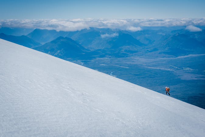
The Calbuco is a very rarely skied strato-volcano, yet provides some of the most amazing thrills for those willing to make the 4 hour hike to the snowline. So bring comfortable walking shoes.
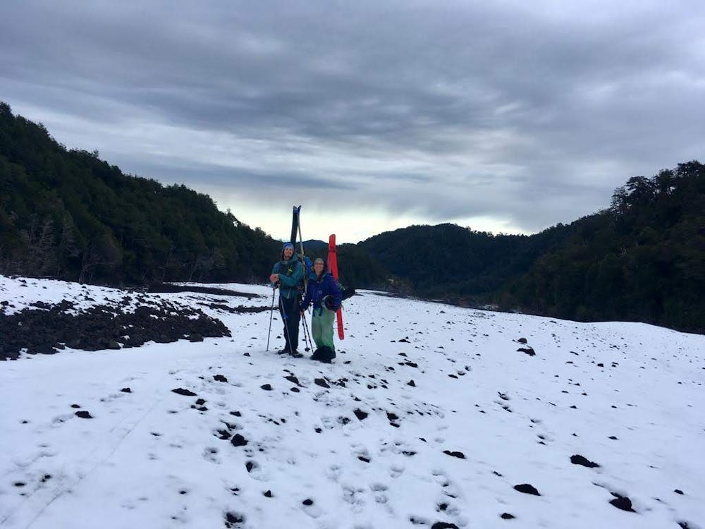
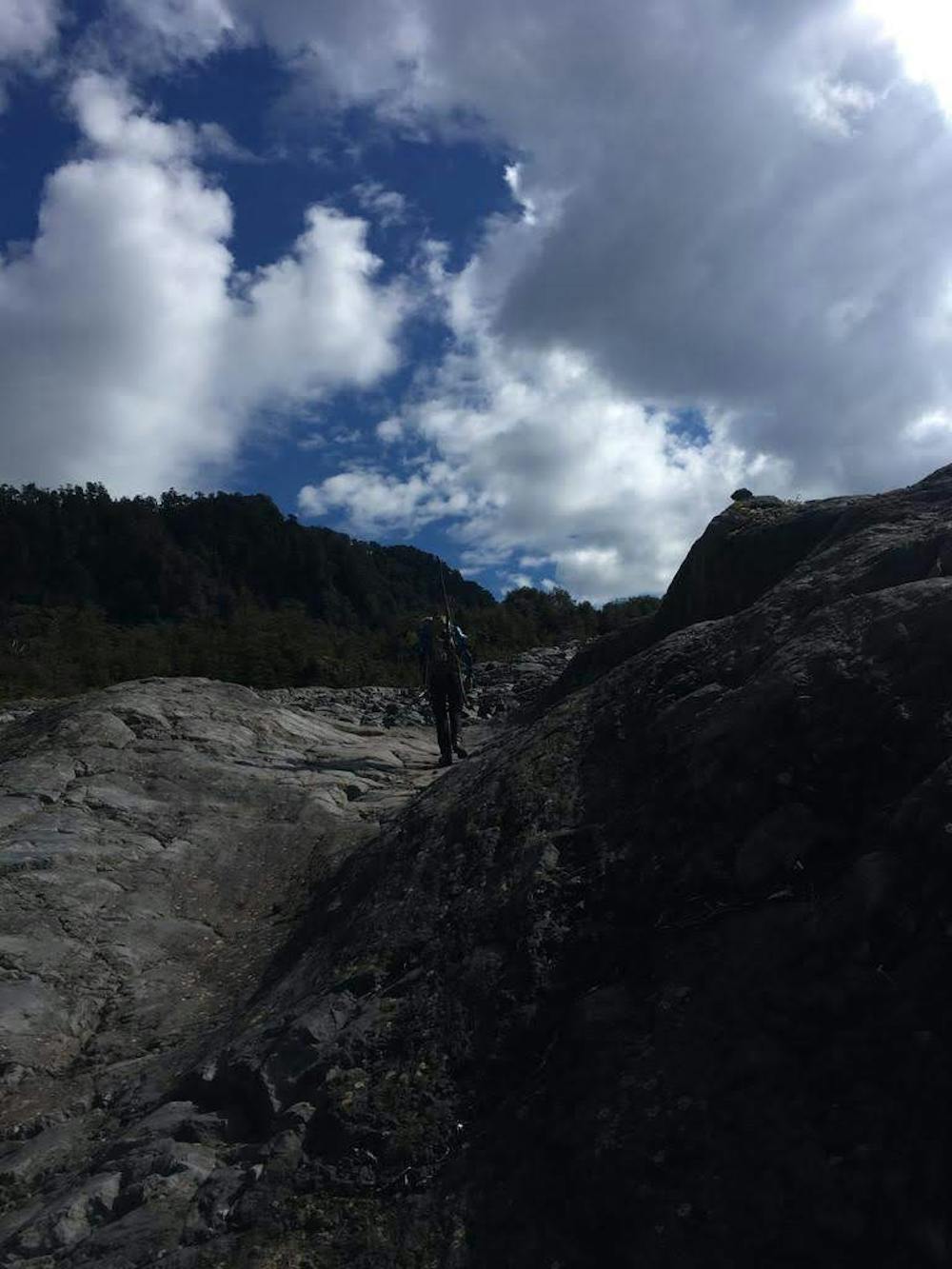
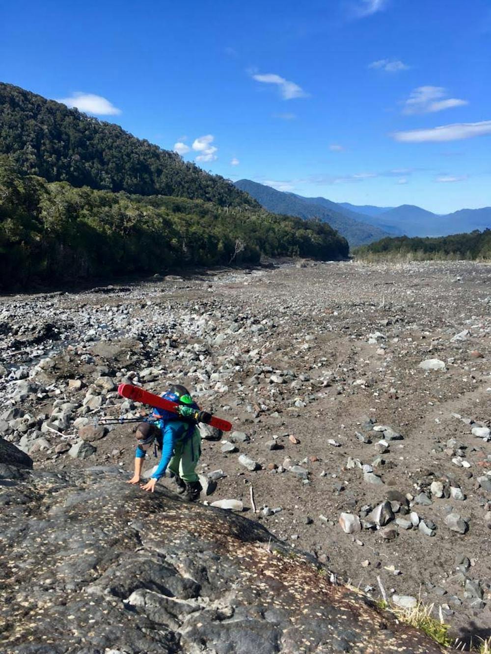
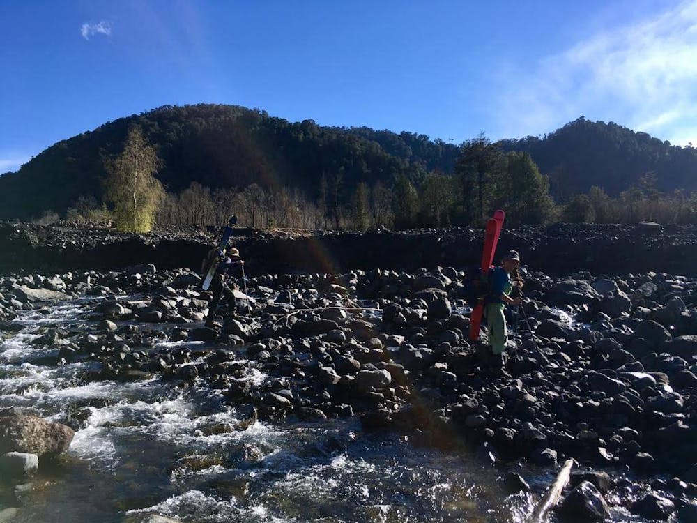
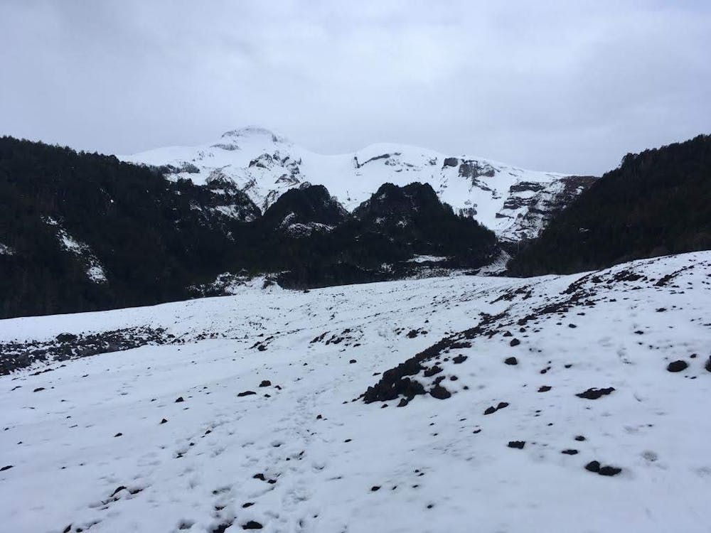
Located in the sleepy Reserva Nacional Llanquihue, the route is extremely straightforward. After crossing the stream at the trailhead and registering at the park rangers' office (CONAF), follow the trail which leads to the riverbed, and follow it until you meet a steep ravine.
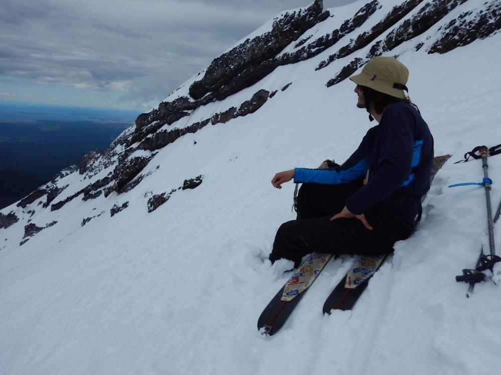
At the ravine, stay to the left of the river, and you will find yourself skinning in less than a heartbeat. The route then involves heading up the bowl (watch out for avalanche activity, especially wet slides) to the ridge, and then heading right, aiming for the summit.
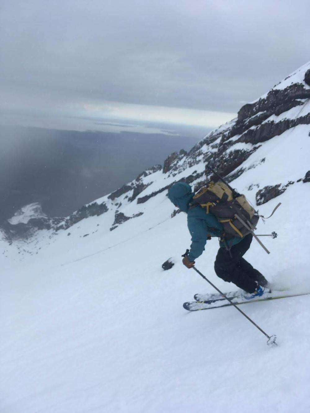
The track here only reaches the summit ridge, a shy 150 vertical meters from the flattop summit. This last portion, depending on conditions, could be extremely icy, so bring some climbing gear just in case. It is possible to ski directly off the summit, for at least 1000 vertical meters depending on snow conditions and time of year.
Ask local guides for advice in advance for conditions on Calbuco.
Difficult
Serious gradient of 30-38 degrees where a real risk of slipping exists.

As well as the slope itself, there are some obstacles (such as rock outcrops) which could aggravate injury.

Little chance of being seen or helped in case of an accident.
3 routes · Ski Touring